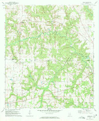
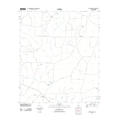
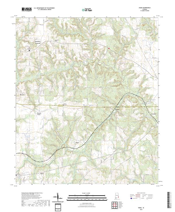
1970 Map of Sigma
USGS Topo · Published 1972About this map
Omusee Creek meanders through the heart of this East Alabama landscape, defining a terrain of numerous small branches and local drainage ways. The boundary between Henry County and Houston County bisects the sheet, where small rural hubs like Grandberry Crossroads and Pleasant Plains anchor the local community. The agricultural character of the area is underscored by the dense distribution of small churches and family-named cemeteries, such as Old Pleasant Plains Cem and Pilgrims Rest Cem, which offer significant value for genealogical research in this pocket of the Wiregrass region.
Find a feature on this map
44 named features on this map. Tap any name to fly to it.
Don’t see what you’re looking for? This feature index may not catch every label — zoom into the map to look around manually.
Map Details
Editions of this 1970 Sigma Map
This is the sole edition of this map. No revisions or reprints were ever made.
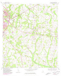
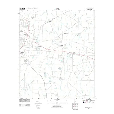
Historical Maps of Columbia Through Time
24 maps found
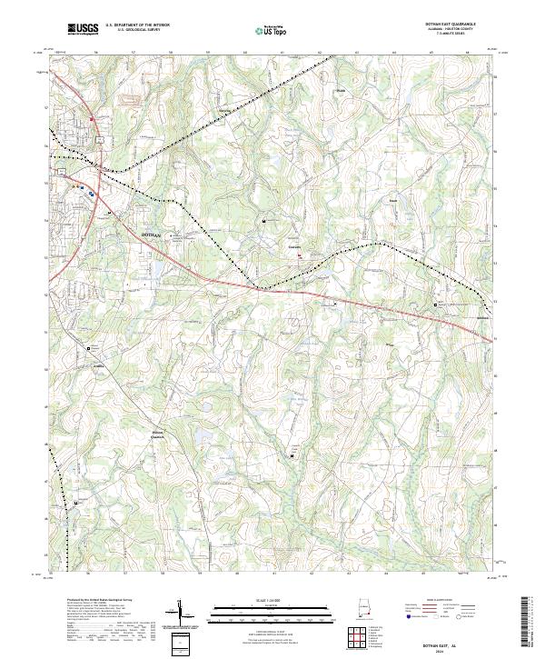
1969 Dothan East
Houston County, AL

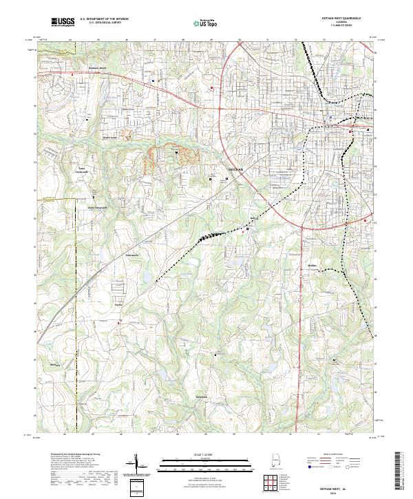
1969 Dothan West
Houston County, AL
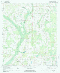
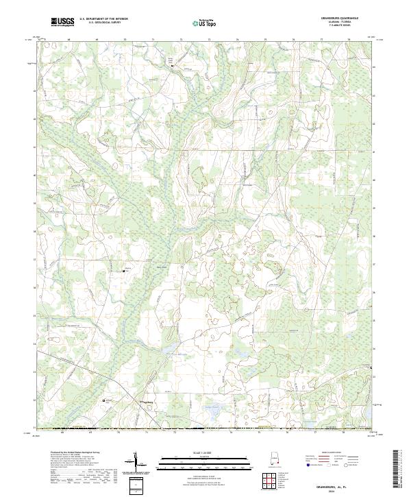
1970 Grangeburg
Houston County, AL
1970 Sigma
Houston County, AL
2011 Dothan East
Houston County, AL

2011 Dothan West
Houston County, AL
2011 Grangeburg
Houston County, AL
2011 Sigma
Houston County, AL
2014 Dothan East
Houston County, AL

2014 Dothan West
Houston County, AL
2014 Grangeburg
Houston County, AL

2014 Sigma
Houston County, AL

2018 Dothan East
Houston County, AL

2018 Dothan West
Houston County, AL

2018 Grangeburg
Houston County, AL

2018 Sigma
Houston County, AL

2020 Dothan East
Houston County, AL

2020 Dothan West
Houston County, AL

2020 Grangeburg
Houston County, AL

2020 Sigma
Houston County, AL
2024 Dothan East
Houston County, AL
2024 Dothan West
Houston County, AL
2024 Grangeburg
Houston County, AL
2024 Sigma
Houston County, AL