
1973 Map of Blakely North
USGS Topo · Published 1975About this map
Kolomoki Mounds State Park dominates the northern landscape of this Early County survey, preserving the significant Indian Mounds and the waters of Lake Kolomoki and Lake Yohola. South of these ancient sites, the town of Blakely serves as a hub of activity, with its traditional street grid featuring Main Street and Columbia St, anchored by the central Courthouse and City Hall. The area's mid-century rural infrastructure is well-defined, showing the Central of Georgia railroad line cutting through the terrain and the localized community focus around Ferrell Crossroads. Genealogists and local historians will find a network of community landmarks including St Matthews Ch, Enterprise Ch, and the Mecier Cem. The landscape is a mix of agricultural clearings and dense drainage networks like Little Kolomoki Creek and Breastworks Branch, reflecting the traditional geography of southwest Georgia.
Find a feature on this map
51 named features on this map. Tap any name to fly to it.
Don’t see what you’re looking for? This feature index may not catch every label — zoom into the map to look around manually.
Map Details
Editions of this 1973 Blakely North Map
This is the sole edition of this map. No revisions or reprints were ever made.
Other maps of this area

1953 · Dothan
USGS Topo · 1:250,000

1954 · Dothan
USGS Topo · 1:250,000

1955 · Dothan
USGS Topo · 1:250,000

1969 · Fort Gaines
USGS Topo · 1:24,000

1970 · Columbia NE
USGS Topo · 1:24,000

1970 · Columbia
USGS Topo · 1:24,000

1973 · Bancroft
USGS Topo · 1:24,000

1973 · Blakely South
USGS Topo · 1:24,000
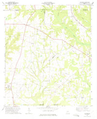
1973 · Bluffton
USGS Topo · 1:24,000
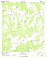
1973 · Zetto
USGS Topo · 1:24,000