Old Maps of Camilla, Georgia for Academic Research
Study the evolution of Camilla with 17 high-resolution historic maps. Whether you're teaching, researching, or modeling changes in land use, these maps provide essential visual documentation of urban, environmental, and geographic change.
- Analyze long-term change: Track patterns in development, transportation, and natural features.
- Ideal for environmental or urban studies: Support academic projects with primary historical map data.
- Use in the classroom or lab: Educators and researchers rely on these maps to bring historical context to life.
These maps are a powerful tool for teaching, research, and visualizing how Camilla has changed over the decades.
Camilla, GA maps
(17)- 1953 Map of Dothan, 1966 Print
 1953 Dothan1966 Print · USGSSoutheast Alabama and Southwest Georgia are captured during a period of massive hydraulic and military expansion in the mid-fifties. Genealogists and historians can trace rural landmarks like Antioch Church and School, the Andrew Jackson Monument, and the early footprint of Fort Rucker Military Reservation.3 unique versions available
 - 1954 Map of Dothan
 1954 Dothan1954 Print · USGSSoutheast Alabama and Southwest Georgia are seen here in the mid-fifties, during a decade of military expansion and rural transition. Genealogists can trace the location of country schools like Little Zion School or the grounds of Kolomoki Mounds State Park.
 - 1955 Map of Dothan
 1955 Dothan1955 Print · USGSSoutheast Alabama and Southwest Georgia are captured here in the mid-fifties, showing a landscape of river-port history and growing military bases. Researchers can trace rural life via the Andrew Jackson Monument, Bauxite mines, and the Central of Georgia RR.
 - 1956 Map of Baconton, 1957 Print
 1956 Baconton1957 Print · USGSMitchell and Dougherty counties in the mid-fifties are defined by the winding Flint River and a dense network of rural rail lines. Researchers can trace genealogical roots through dozens of local landmarks like Noahs Ark Ch, Hard Up Cem, and Sale City.2 unique versions available
 - 1971 Map of Camilla, 1974 Print
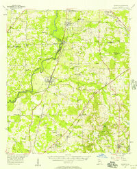
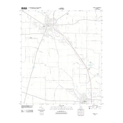
 1971 Camilla1974 Print · USGSMitchell County in the early seventies centers on the rail-linked towns of Camilla and Pelham. Genealogists and local historians can trace rural landmarks from Oakview Cem and Bethany Ch to the local Drive-in Theater.2 unique versions available
 - 1974 Map of Baconton South, 1976 Print
 1974 Baconton South1976 Print · USGSSouth of Baconton in the mid-1970s, this Mitchell County landscape shows a well-defined rural network of rail lines and country churches. Genealogists and historians can trace local family landmarks and burial sites like China Grove Cem, St Mary Ch, and the settlement at Duffee.
 - 1981 Map of Camilla, 1982 Print
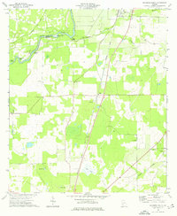
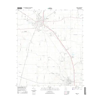
 1981 Camilla1982 Print · USGSSouthwest Georgia in the early 1980s is defined by the winding Flint River and the ancient legacy of Kolomoki Mounds State Park. Researchers can trace the agricultural and rail economy through junctions like Blakely, Pelham, and the rail lines of the Central of Georgia.2 unique versions available
 - 2011 Map of Baconton South, 2011 Print
 2011 Baconton South2011 Print · USGSCovers Camilla, including Baconton, Adelaide, and other nearby areas
 - 2011 Map of Camilla, 2011 Print
 2011 Camilla2011 Print · USGSCovers Camilla, including Pelham, Mitchell County, and other nearby areas
 - 2014 Map of Camilla, 2014 Print
 2014 Camilla2014 Print · USGSCovers Camilla, including Pelham, Mitchell County, and other nearby areas
 - 2014 Map of Baconton South, 2014 Print
 2014 Baconton South2014 Print · USGSCovers Camilla, including Baconton, Adelaide, and other nearby areas
 - 2017 Map of Camilla, 2017 Print
 2017 Camilla2017 Print · USGSCovers Camilla, including Pelham, Mitchell County, and other nearby areas
 - 2017 Map of Baconton South, 2017 Print
 2017 Baconton South2017 Print · USGSCovers Camilla, including Baconton, Adelaide, and other nearby areas
 - 2020 Map of Camilla, 2020 Print
 2020 Camilla2020 Print · USGSCovers Camilla, including Pelham, Mitchell County, and other nearby areas
 - 2020 Map of Baconton South, 2020 Print
 2020 Baconton South2020 Print · USGSCovers Camilla, including Baconton, Adelaide, and other nearby areas
 - 2024 Map of Camilla, 2024 Print
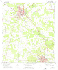
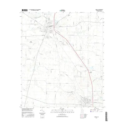
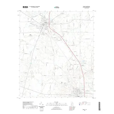
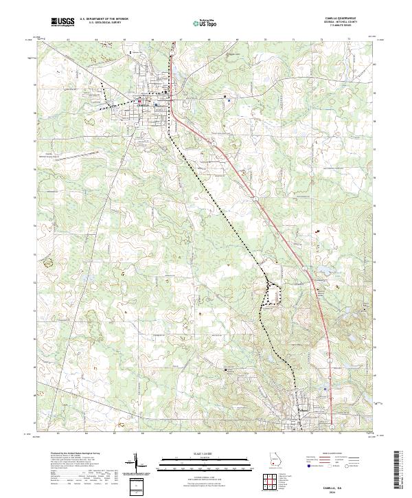 2024 Camilla2024 Print · USGSIn the heart of South Georgia during the early twenty-first century, this area reveals a landscape of county governance and rural tradition. Genealogists can trace family names across Sunset Historical Cem, Oakview Cem, and the Mitchell County Courthouse.
 - 2024 Map of Baconton South, 2024 Print
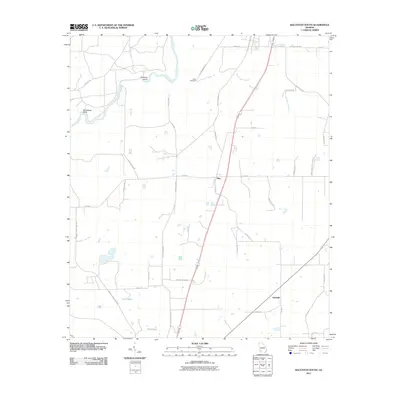
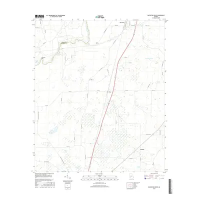
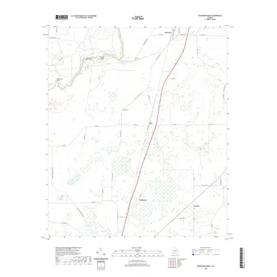
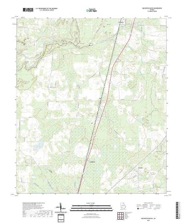 2024 Baconton South2024 Print · USGSMitchell County, Georgia, is captured here in its current rural configuration, where the Flint River meets fertile farmland. Genealogists and local researchers can trace family landmarks like China Grove Cem or follow the old tracks through Baconton and Adelaide.
End of results
Showing maps 1-17 of 17
Top cities near Camilla
- Pelham historical maps
- Putney historical maps
- Meigs historical maps
- Baconton historical maps
- Newton historical maps
- Sale City historical maps
Frequently asked questions
- What are the different types of historical maps available for Camilla?
- What is the oldest map of Camilla?
- Where can I purchase historical maps of Camilla for my home or office?
- Where can I download high-res historical maps of Camilla?
- Are there historical topographic maps available for Camilla?
- Is there historical aerial imagery available for Camilla?
- Where are historical maps of Camilla sourced from?