Old Maps of Juliette, Georgia for Academic Research
Study the evolution of Juliette with 13 high-resolution historic maps. Whether you're teaching, researching, or modeling changes in land use, these maps provide essential visual documentation of urban, environmental, and geographic change.
- Analyze long-term change: Track patterns in development, transportation, and natural features.
- Ideal for environmental or urban studies: Support academic projects with primary historical map data.
- Use in the classroom or lab: Educators and researchers rely on these maps to bring historical context to life.
These maps are a powerful tool for teaching, research, and visualizing how Juliette has changed over the decades.
Juliette, GA maps
(13)- 1951 Map of Forsyth, 1953 Print
 1951 Forsyth1953 Print · USGSThe Monroe County seat and the Ocmulgee River corridor are captured here during the early fifties, showing a landscape defined by rail-fed industry and deep-rooted rural communities. Genealogists can locate family landmarks like Brighton Mills, Bessie Tift College, and the riverside settlement of Juliette.3 unique versions available
 - 1953 Map of Athens, 1966 Print
 1953 Athens1966 Print · USGSGeorgia's Piedmont and Savannah River borderlands come alive in this mid-century survey of the region surrounding Athens and Augusta. Trace the rail-and-river economy through the Georgia RR and landmarks like the Fort Gordon Military Reservation.3 unique versions available
 - 1958 Map of Athens
 1958 Athens1958 Print · USGSNorth-central Georgia and the Savannah River valley are captured in the late fifties, showing the region as the new reservoirs were filling. Researchers can trace historic rail lines like the Georgia RR and locate rural landmarks such as Social Circle, Graves Mountain, and the Fort Gordon Military Reservation.
 - 1959 Map of Athens
 1959 Athens1959 Print · USGSNortheast Georgia and the South Carolina borderlands appear here in the mid-fifties, during a decade of infrastructure growth. Genealogists and historians can trace the rail-and-river geography of towns like Social Circle, the sprawl of Fort Gordon Military Reservation, and the newly formed Clark Hill Reservoir.
 - 1963 Map of Athens
 1963 Athens1963 Print · USGSGeorgia's Piedmont and the Savannah River valley are captured in the early sixties as major reservoirs and military installations reshaped the landscape. Researchers can trace the development of Clark Hill Reservoir, locate the Fort Gordon Military Reservation, and find historic towns like Social Circle and Eatonton.
 - 1973 Map of East Juliette, 1975 Print
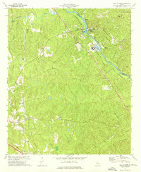 1973 East Juliette1975 Print · USGSThe riverfront communities of Juliette and East Juliette are shown during the 1970s at the junction of the Ocmulgee and Towaliga rivers. Researchers can trace rural life through numerous landmarks like Browns Chapel, Bethesda Ch, and Holly Grove Cem.
 - 1981 Map of Milledgeville
 1981 Milledgeville1981 Print · USGSMiddle Georgia in the early eighties shows a landscape shaped by major reservoirs and deep forests. Genealogists and historians can trace the rail networks of the Southern and Central of Georgia through towns like Monticello and Eatonton.2 unique versions available
 - 1988 Map of Athens
 1988 Athens1988 Print · USGSThe Georgia Piedmont and South Carolina borderlands appear in the late eighties as a landscape of vast reservoirs and growing towns. Researchers can trace the legacy of the Georgia RR connecting Athens and Augusta, or locate landmarks within Oconee National Forest.
 - 2011 Map of East Juliette, 2011 Print
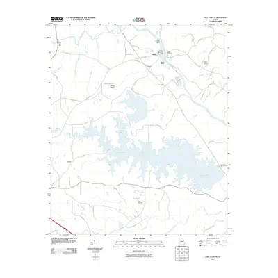 2011 East Juliette2011 Print · USGSMonroe County’s riverfront comes into focus in this late 2000s study of the area surrounding Juliette and the broad Ocmulgee River. Genealogists and local historians can trace landmarks like Saint Peters Rock Cemetery, Williams Lake, and the small community of Percale.
 - 2014 Map of East Juliette, 2014 Print
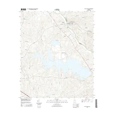 2014 East Juliette2014 Print · USGSThe riverbanks of the Ocmulgee River and the rural communities of Monroe County are captured here in the early twenty-first century. Genealogists can trace family landmarks at Saint Peters Rock Cem, Ebenezer Cem, and the historic settlement of Juliette.
 - 2017 Map of East Juliette, 2017 Print
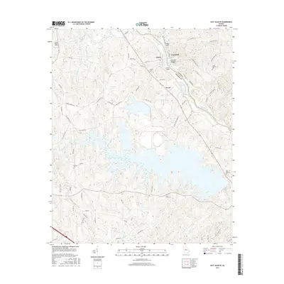 2017 East Juliette2017 Print · USGSThe Ocmulgee River corridor near Juliette and East Juliette is captured here just as the modern road network began to fully frame the rural landscape. Genealogists can locate several family and community burial grounds, including Ebenezer Cemetery and Newby-Mitchell Cemetery.
 - 2020 Map of East Juliette, 2020 Print
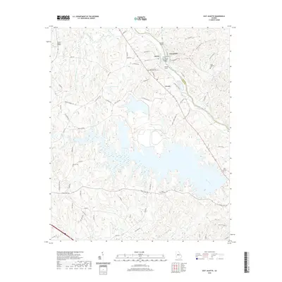 2020 East Juliette2020 Print · USGSThe riverfront communities of Juliette and East Juliette are shown here as they appeared in 2020. Local researchers can trace family sites at Saint Peters Rock Cem, the Jerry Wadley Memorial Bridge, and the large waters of Rum Creek.
 - 2024 Map of East Juliette, 2024 Print
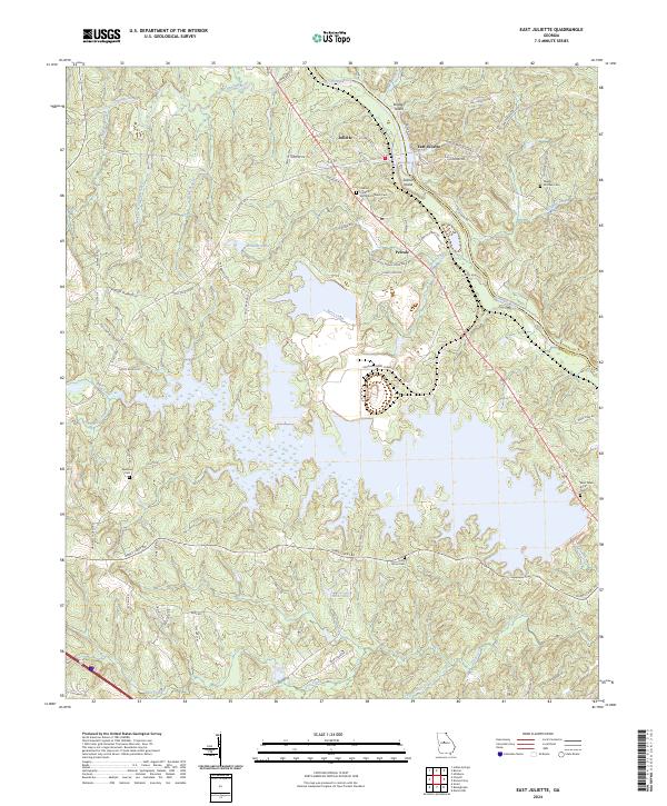 2024 East Juliette2024 Print · USGSIn the Ocmulgee River valley of central Georgia, this area is defined by the historic crossing at Juliette and the expansive waters of Hicks Lake. Researchers can trace rural cemeteries such as Ebenezer Cem and Saint Peters Rock Cem alongside the winding course of Berry Creek.
End of results
Showing maps 1-13 of 13
Top cities near Juliette
- Macon historical maps
- Jackson historical maps
- Forsyth historical maps
- Gray historical maps
- Monticello historical maps
- Flovilla historical maps
Frequently asked questions
- What are the different types of historical maps available for Juliette?
- What is the oldest map of Juliette?
- Where can I purchase historical maps of Juliette for my home or office?
- Where can I download high-res historical maps of Juliette?
- Are there historical topographic maps available for Juliette?
- Is there historical aerial imagery available for Juliette?
- Where are historical maps of Juliette sourced from?