Old Maps of Molena, Georgia for Academic Research
Study the evolution of Molena with 16 high-resolution historic maps. Whether you're teaching, researching, or modeling changes in land use, these maps provide essential visual documentation of urban, environmental, and geographic change.
- Analyze long-term change: Track patterns in development, transportation, and natural features.
- Ideal for environmental or urban studies: Support academic projects with primary historical map data.
- Use in the classroom or lab: Educators and researchers rely on these maps to bring historical context to life.
These maps are a powerful tool for teaching, research, and visualizing how Molena has changed over the decades.
Molena, GA maps
(16)- 1953 Map of Atlanta, 1965 Print
 1953 Atlanta1965 Print · USGSThe growing Atlanta metro and the industrial corridors of Eastern Alabama are captured here during the mid-century transition. Researchers can trace the rail-to-road shift through hubs like Anniston and La Grange or locate sites within Fort McClellan.2 unique versions available
 - 1957 Map of Atlanta
 1957 Atlanta1957 Print · USGSAtlanta and the Alabama borderlands appear here in the mid-fifties, capturing the region's post-war suburban and industrial transition. Trace the development of early transport hubs and military sites like Fort McPherson, Anniston, and the Kennesaw Mountain National Battlefield Park.
 - 1958 Map of Atlanta
 1958 Atlanta1958 Print · USGSMid-century Georgia and Alabama are shown in this regional study of the corridor between the Chattahoochee River and the Appalachian foothills. Local historians can trace the development of suburban Atlanta alongside vital landmarks like Stone Mountain, Dobbins AFB, and the Seaboard Air Line rail routes.
 - 1971 Map of Gay, 1973 Print
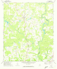 1971 Gay1973 Print · USGSMeriwether and Pike Counties are captured here in the early 1970s, as rural rail life centered on the Flint River and the Seaboard Coast Line. Genealogists can trace family landmarks including the Covered Bridge, Thrash Cem, and the town of Gay.
 - 1971 Map of Concord, 1973 Print
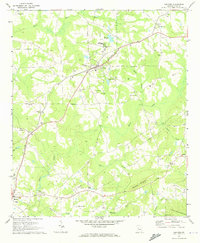 1971 Concord1973 Print · USGSCentral Georgia's farming and rail corridor is captured here in the early seventies, centered on the Southern railroad. Genealogists can trace family names through Magnolia Cem, Beckham Cem, and historic sites like Old Calvary Ch.2 unique versions available
 - 1979 Map of Griffin, 1980 Print
 1979 Griffin1980 Print · USGSWest-central Georgia at the close of the seventies reveals a landscape of historic rail towns and growing suburbs between the major river systems. Trace the rail lines and early road networks connecting Griffin, Peachtree City, and Newnan, or locate smaller settlements like Senoia and Experiment.3 unique versions available
 - 2011 Map of Gay, 2011 Print
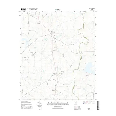
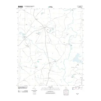 2011 Gay2011 Print · USGSCovers Molena, including Gay, Oakland, and other nearby areas
 - 2011 Map of Concord, 2011 Print
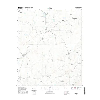
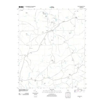 2011 Concord2011 Print · USGSCovers Molena, including Hilltop, Concord, and other nearby areas
 - 2014 Map of Gay, 2014 Print
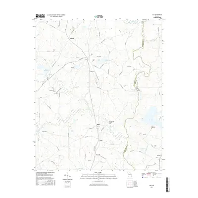
 2014 Gay2014 Print · USGSCovers Molena, including Gay, Oakland, and other nearby areas
 - 2014 Map of Concord, 2014 Print
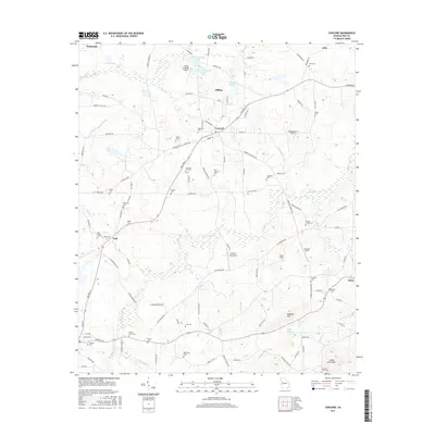
 2014 Concord2014 Print · USGSCovers Molena, including Hilltop, Concord, and other nearby areas
 - 2017 Map of Gay, 2017 Print
 2017 Gay2017 Print · USGSCovers Molena, including Gay, Oakland, and other nearby areas
 - 2017 Map of Concord, 2017 Print
 2017 Concord2017 Print · USGSCovers Molena, including Hilltop, Concord, and other nearby areas
 - 2020 Map of Gay, 2020 Print
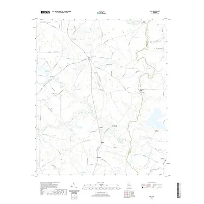 2020 Gay2020 Print · USGSCovers Molena, including Gay, Oakland, and other nearby areas
 - 2020 Map of Concord, 2020 Print
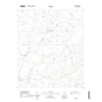 2020 Concord2020 Print · USGSCovers Molena, including Hilltop, Concord, and other nearby areas
 - 2024 Map of Gay, 2024 Print
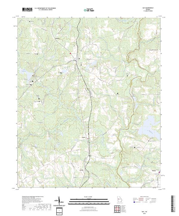 2024 Gay2024 Print · USGSThe Meriwether and Pike County border comes alive in this contemporary survey of West Georgia's rural landscape. Researchers can trace family history through a remarkable concentration of family burial sites, including the Baughan Strozier Cem, Thrash Cem, and the historic Red Oak Grove Baptist Church Cem.
 - 2024 Map of Concord, 2024 Print
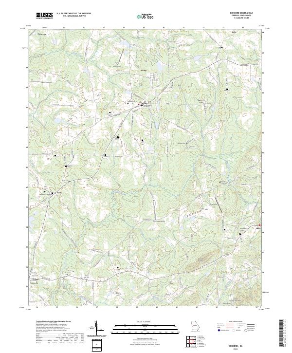 2024 Concord2024 Print · USGSThis rural portion of Pike County is captured in the contemporary era, showing a landscape defined by traditional crossroads and small-town rail connections. Genealogists can trace family names through dozens of sites like Old Hebron Cem, Beulah Baptist Church Cem, and Beckham Cem.
End of results
Showing maps 1-16 of 16
Top cities near Molena
- Griffin historical maps
- Thomaston historical maps
- Hannahs Mill historical maps
- Manchester historical maps
- Zebulon historical maps
- Sunset Village historical maps
See more
Frequently asked questions
- What are the different types of historical maps available for Molena?
- What is the oldest map of Molena?
- Where can I purchase historical maps of Molena for my home or office?
- Where can I download high-res historical maps of Molena?
- Are there historical topographic maps available for Molena?
- Is there historical aerial imagery available for Molena?
- Where are historical maps of Molena sourced from?