2020s Maps of Akes, Georgia
Explore 2 historic maps of Akes from the 2020s. These maps offer a rare glimpse into what life looked like during the 2020s — showing old roads, neighborhoods, homes, and landmarks that have changed or disappeared over time.
Whether you're researching your family's past, planning a metal detecting trip, or studying how Akes's landscape evolved across the 2020s, these high-resolution maps are a powerful tool for exploring the history of this region.
- Focus on a specific era: All maps on this page are from the 2020s, giving you a focused view of this time period.
- See what’s changed: Compare century-old streets, trails, and buildings to today's modern landscape using overlays and satellite layers.
- Research with precision: Use these maps for genealogy, historical research, land use analysis, or educational projects.
- View, download, or print: Maps are fully viewable online in high resolution, and can be downloaded or printed for your own records.
Start exploring Akes's history through authentic maps from the 2020s. This is your window into the past.
Akes, GA maps
(2)- 2020 Map of Benedict, 2020 Print
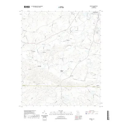 2020 Benedict2020 Print · USGSCovers Akes, including Cedartown, Dugdown, and other nearby areas
 - 2024 Map of Benedict, 2024 Print
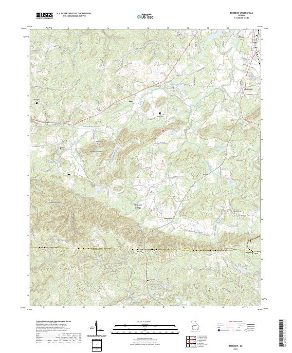 2024 Benedict2024 Print · USGSThe border between Polk and Haralson counties comes alive in this contemporary view of the Georgia uplands. Genealogists can trace family names at Shiloh Baptist Church Cem and Hutchings Cem, while explorers follow the path of Pumpkin Pile Creek.
End of results
Showing maps 1-2 of 2
Top cities near Akes
- Cedartown historical maps
- Bremen historical maps
- Tallapoosa historical maps
- Cedar Bluff historical maps
- Cave Spring historical maps
- Buchanan historical maps
Frequently asked questions
- What are the different types of historical maps available for Akes?
- What is the oldest map of Akes?
- Where can I purchase historical maps of Akes for my home or office?
- Where can I download high-res historical maps of Akes?
- Are there historical topographic maps available for Akes?
- Is there historical aerial imagery available for Akes?
- Where are historical maps of Akes sourced from?