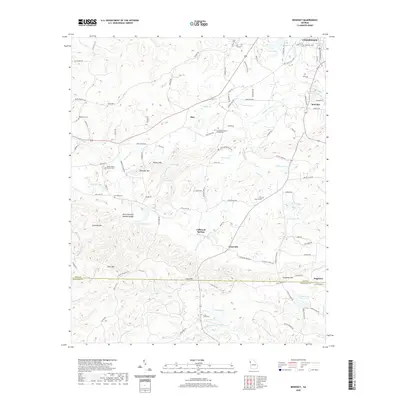
2020 Map of Benedict
USGS Topo · Published 2020About this map
Fullwood Springs and the surrounding woodlands of Polk and Haralson counties are defined by a series of prominent ridges and hollows, including Devils Darning Needle Hollow and Brewster Mtn. Small settlements such as Akes, Caseyville, and Benedict are interconnected by a network of rural roads like Treat Mountain Rd and Akes Station Rd, tracing the paths between agricultural clearings and forested slopes. The landscape is dotted with several family and community burial grounds, including Hutching Cem and the Shiloh Baptist Church Cem. Numerous small water bodies like Williams Lake and Pettit Lake provide drainage across the varied elevations, while larger features like Dugdown Mtn dominate the southern portion of the quadrangle. This layout reflects the persistent rural character of northwest Georgia, where community life remains centered around long-standing landmarks and natural springs.
Find a feature on this map
110 named features on this map. Tap any name to fly to it.
Don’t see what you’re looking for? This feature index may not catch every label — zoom into the map to look around manually.
Map Details
Editions of this 2020 Benedict Map
This is the sole edition of this map. No revisions or reprints were ever made.
Other maps of this area

1886 · Rome
USGS Topo · 1:125,000

1889 · Tallapoosa
USGS Topo · 1:125,000

1892 · Tallapoosa
USGS Topo · 1:125,000

1897 · Tallapoosa
USGS Topo · 1:125,000

1898 · Rome
USGS Topo · 1:125,000

1899 · Rome
USGS Topo · 1:125,000

1904 · Rome
USGS Topo · 1:125,000

1953 · Atlanta
USGS Topo · 1:250,000

1955 · Rome
USGS Topo · 1:250,000

1957 · Atlanta
USGS Topo · 1:250,000