2020s Maps of Eatonton, Georgia
Explore 4 historic maps of Eatonton from the 2020s. These maps offer a rare glimpse into what life looked like during the 2020s — showing old roads, neighborhoods, homes, and landmarks that have changed or disappeared over time.
Whether you're researching your family's past, planning a metal detecting trip, or studying how Eatonton's landscape evolved across the 2020s, these high-resolution maps are a powerful tool for exploring the history of this region.
- Focus on a specific era: All maps on this page are from the 2020s, giving you a focused view of this time period.
- See what’s changed: Compare century-old streets, trails, and buildings to today's modern landscape using overlays and satellite layers.
- Research with precision: Use these maps for genealogy, historical research, land use analysis, or educational projects.
- View, download, or print: Maps are fully viewable online in high resolution, and can be downloaded or printed for your own records.
Start exploring Eatonton's history through authentic maps from the 2020s. This is your window into the past.
Eatonton, GA maps
(4)- 2020 Map of Meda, 2020 Print
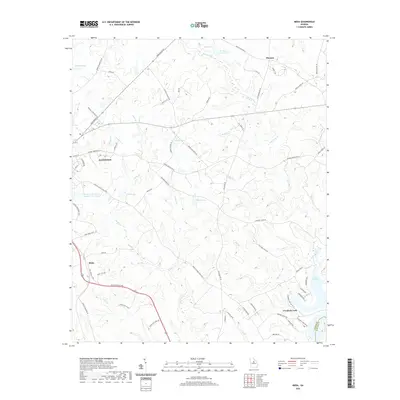 2020 Meda2020 Print · USGSCovers Eatonton, including Crooked Creek, Meda, and other nearby areas
 - 2020 Map of Eatonton, 2020 Print
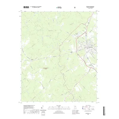 2020 Eatonton2020 Print · USGSCovers Eatonton, including Linchburg, Note, and other nearby areas
 - 2024 Map of Eatonton, 2024 Print
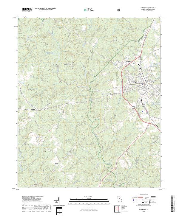 2024 Eatonton2024 Print · USGSEatonton and the Oconee National Forest are shown in detail in this modern survey of central Georgia. Researchers can locate the Putnam County Courthouse, Pine Grove Cem, and smaller settlements like Willard and Imperial.
 - 2024 Map of Meda, 2024 Print
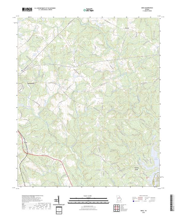 2024 Meda2024 Print · USGSPutnam County's landscape comes to life in this recent survey of the area southeast of Eatonton. Genealogists and local historians can trace the paths of the BNSF Railway through Meda or locate the Rocky Creek Ch near Rooty Creek.
End of results
Showing maps 1-4 of 4
Top cities near Eatonton
- Milledgeville historical maps
- Madison historical maps
- Greensboro historical maps
- Crooked Creek historical maps
- Shady Dale historical maps
Top neighborhoods of Eatonton
Frequently asked questions
- What are the different types of historical maps available for Eatonton?
- What is the oldest map of Eatonton?
- Where can I purchase historical maps of Eatonton for my home or office?
- Where can I download high-res historical maps of Eatonton?
- Are there historical topographic maps available for Eatonton?
- Is there historical aerial imagery available for Eatonton?
- Where are historical maps of Eatonton sourced from?