Old Maps of Benevolence, Georgia for Hiking & Exploration
Hike through history with 28 historic maps of Benevolence. Explore old trails, ghost towns, and forgotten backroads — perfect for outdoor adventurers and local explorers.
- Rediscover forgotten places: Map out old mining camps, roads, and footpaths that no longer exist on modern maps.
- Layer with modern tools: Combine with LiDAR or satellite views to plan hikes through historical terrain.
- Made for exploration: Popular among hikers, overlanders, and local history lovers.
Use these maps to find adventure and explore the hidden past of Benevolence.
Benevolence, GA maps
(28)- 1953 Map of Dothan, 1966 Print
 1953 Dothan1966 Print · USGSSoutheast Alabama and Southwest Georgia are captured during a period of massive hydraulic and military expansion in the mid-fifties. Genealogists and historians can trace rural landmarks like Antioch Church and School, the Andrew Jackson Monument, and the early footprint of Fort Rucker Military Reservation.3 unique versions available
 - 1954 Map of Dothan
 1954 Dothan1954 Print · USGSSoutheast Alabama and Southwest Georgia are seen here in the mid-fifties, during a decade of military expansion and rural transition. Genealogists can trace the location of country schools like Little Zion School or the grounds of Kolomoki Mounds State Park.
 - 1955 Map of Dothan
 1955 Dothan1955 Print · USGSSoutheast Alabama and Southwest Georgia are captured here in the mid-fifties, showing a landscape of river-port history and growing military bases. Researchers can trace rural life via the Andrew Jackson Monument, Bauxite mines, and the Central of Georgia RR.
 - 1972 Map of Benevolence, 1974 Print
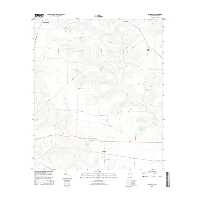
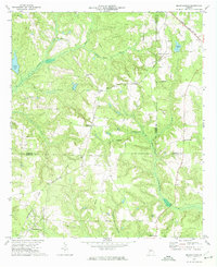 1972 Benevolence1974 Print · USGSSouthwest Georgia in the 1970s shows a landscape of small crossroads and country parishes. Genealogists can trace family footprints near Benevolence or locate rural landmarks like Mt Pleasant Ch and the Seaboard Coast Line.
 - 1972 Map of County Line, 1974 Print
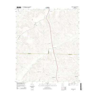
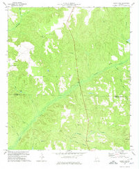 1972 County Line1974 Print · USGSThe Stewart and Randolph county line in the early seventies was a region of quiet settlements and deep creek valleys. Genealogists and historians can trace family locations near Pumpkin Town, Scienceville, and numerous church cemeteries like Piney Grove Ch.
 - 1972 Map of Brooksville, 1974 Print
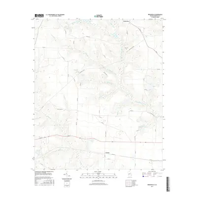
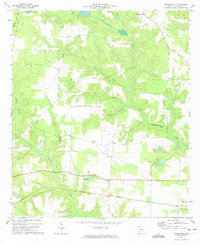 1972 Brooksville1974 Print · USGSRandolph County in the early seventies remained a landscape of quiet rail corridors and scattered rural parishes. Researchers can trace the path of the Central of Georgia railroad through Shellman or locate family landmarks like Pachitla Ch and Lake Marie.
 - 1972 Map of Cuthbert, 1975 Print
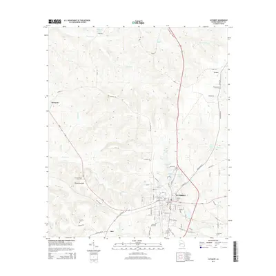
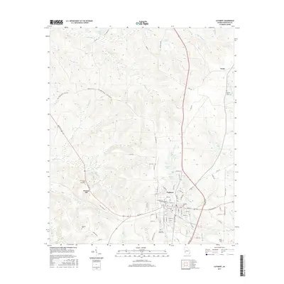
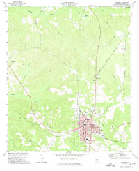 1972 Cuthbert1975 Print · USGSRandolph County's rail-and-college landscape is captured in the early 1970s, centered on the historic streets of Cuthbert. Genealogists can trace family roots at Greenwood Cem and Virgil Chapel, or locate rural settlements like Benevolence and Springvale.
 - 1981 Map of Albany, 1982 Print
 1981 Albany1982 Print · USGSSouthwest Georgia in the early eighties was a region defined by its rail hubs and winding river systems. Here you can trace the agricultural landscape from Albany to Dawson, locating sites like Radium Springs, the U S Naval Reservation, and the historic junction at Shellman.
 - 2011 Map of Benevolence, 2011 Print
 2011 Benevolence2011 Print · USGSCovers Benevolence, including Weston, Gore, and other nearby areas
 - 2011 Map of County Line, 2011 Print
 2011 County Line2011 Print · USGSCovers Benevolence, including Randolph County, Stewart County, and other nearby areas
 - 2011 Map of Brooksville, 2011 Print
 2011 Brooksville2011 Print · USGSCovers Benevolence, including Shellman, Water Pipe, and other nearby areas
 - 2011 Map of Cuthbert, 2011 Print
 2011 Cuthbert2011 Print · USGSCovers Benevolence, including Cuthbert, Coles, and other nearby areas
 - 2014 Map of Brooksville, 2014 Print
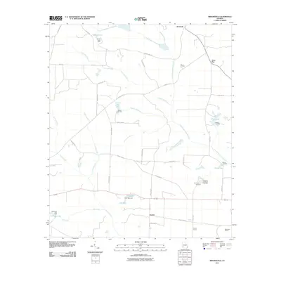
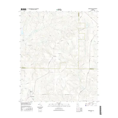
 2014 Brooksville2014 Print · USGSCovers Benevolence, including Shellman, Water Pipe, and other nearby areas
 - 2014 Map of Benevolence, 2014 Print
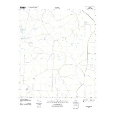
 2014 Benevolence2014 Print · USGSCovers Benevolence, including Weston, Gore, and other nearby areas
 - 2014 Map of Cuthbert, 2014 Print
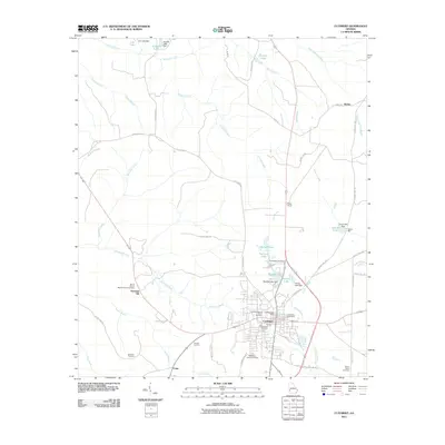
 2014 Cuthbert2014 Print · USGSCovers Benevolence, including Cuthbert, Coles, and other nearby areas
 - 2014 Map of County Line, 2014 Print
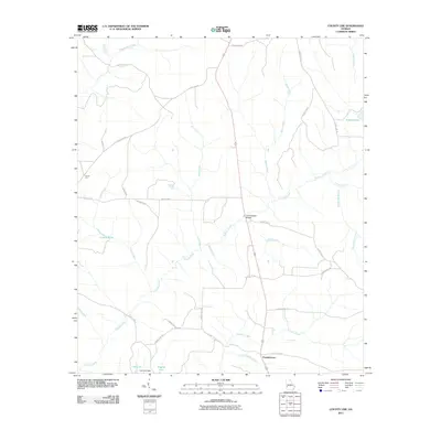
 2014 County Line2014 Print · USGSCovers Benevolence, including Randolph County, Stewart County, and other nearby areas
 - 2017 Map of County Line, 2017 Print
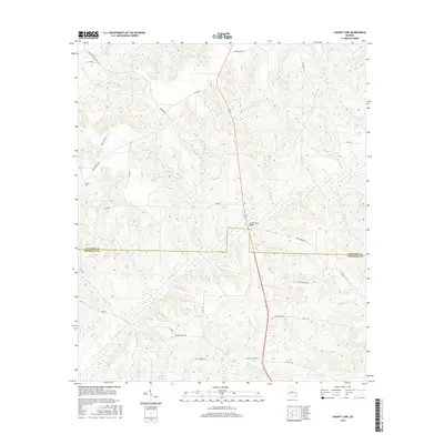 2017 County Line2017 Print · USGSCovers Benevolence, including Randolph County, Stewart County, and other nearby areas
 - 2017 Map of Cuthbert, 2017 Print
 2017 Cuthbert2017 Print · USGSCovers Benevolence, including Cuthbert, Coles, and other nearby areas
 - 2017 Map of Brooksville, 2017 Print
 2017 Brooksville2017 Print · USGSCovers Benevolence, including Shellman, Water Pipe, and other nearby areas
 - 2017 Map of Benevolence, 2017 Print
 2017 Benevolence2017 Print · USGSCovers Benevolence, including Weston, Gore, and other nearby areas
 - 2020 Map of Cuthbert, 2020 Print
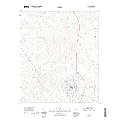 2020 Cuthbert2020 Print · USGSCovers Benevolence, including Cuthbert, Coles, and other nearby areas
 - 2020 Map of Benevolence, 2020 Print
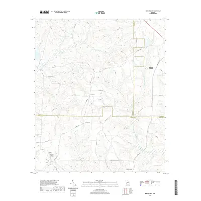 2020 Benevolence2020 Print · USGSCovers Benevolence, including Weston, Gore, and other nearby areas
 - 2020 Map of County Line, 2020 Print
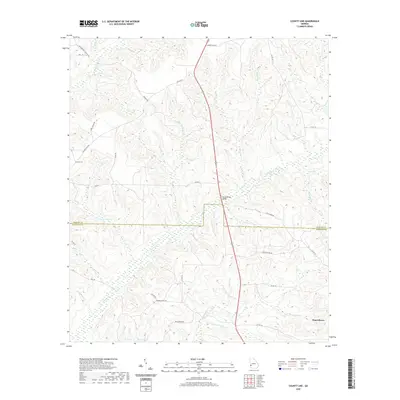 2020 County Line2020 Print · USGSCovers Benevolence, including Randolph County, Stewart County, and other nearby areas
 - 2020 Map of Brooksville, 2020 Print
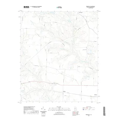 2020 Brooksville2020 Print · USGSCovers Benevolence, including Shellman, Water Pipe, and other nearby areas
 - 2024 Map of Brooksville, 2024 Print
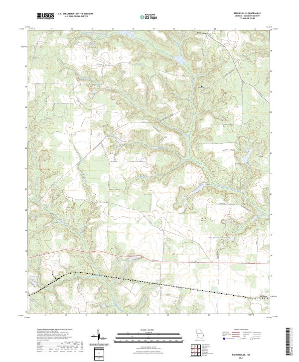 2024 Brooksville2024 Print · USGSRandolph County's rural landscape is captured here during a period of modern agricultural stability and preserved historical boundaries. Researchers can trace family roots near Margus Cem or explore the rail-linked history of Shellman and Pachitla.
Showing maps 1-25 of 28
Top cities near Benevolence
- Cuthbert historical maps
- Lumpkin historical maps
- Richland historical maps
- Shellman historical maps
- Preston historical maps
- Coleman historical maps
See more
Frequently asked questions
- What are the different types of historical maps available for Benevolence?
- What is the oldest map of Benevolence?
- Where can I purchase historical maps of Benevolence for my home or office?
- Where can I download high-res historical maps of Benevolence?
- Are there historical topographic maps available for Benevolence?
- Is there historical aerial imagery available for Benevolence?
- Where are historical maps of Benevolence sourced from?