Old Maps of Shellman, Georgia for Academic Research
Study the evolution of Shellman with 28 high-resolution historic maps. Whether you're teaching, researching, or modeling changes in land use, these maps provide essential visual documentation of urban, environmental, and geographic change.
- Analyze long-term change: Track patterns in development, transportation, and natural features.
- Ideal for environmental or urban studies: Support academic projects with primary historical map data.
- Use in the classroom or lab: Educators and researchers rely on these maps to bring historical context to life.
These maps are a powerful tool for teaching, research, and visualizing how Shellman has changed over the decades.
Shellman, GA maps
(28)- 1953 Map of Dothan, 1966 Print
 1953 Dothan1966 Print · USGSSoutheast Alabama and Southwest Georgia are captured during a period of massive hydraulic and military expansion in the mid-fifties. Genealogists and historians can trace rural landmarks like Antioch Church and School, the Andrew Jackson Monument, and the early footprint of Fort Rucker Military Reservation.3 unique versions available
 - 1954 Map of Dothan
 1954 Dothan1954 Print · USGSSoutheast Alabama and Southwest Georgia are seen here in the mid-fifties, during a decade of military expansion and rural transition. Genealogists can trace the location of country schools like Little Zion School or the grounds of Kolomoki Mounds State Park.
 - 1955 Map of Dothan
 1955 Dothan1955 Print · USGSSoutheast Alabama and Southwest Georgia are captured here in the mid-fifties, showing a landscape of river-port history and growing military bases. Researchers can trace rural life via the Andrew Jackson Monument, Bauxite mines, and the Central of Georgia RR.
 - 1972 Map of Shellman, 1974 Print
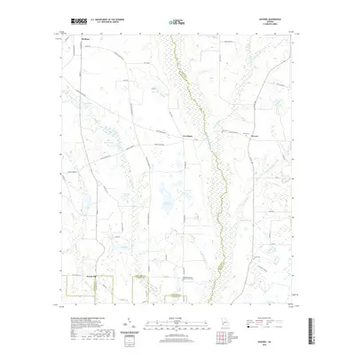
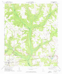 1972 Shellman1974 Print · USGSRandolph and Terrell counties are shown during a period of steady agricultural tradition in the early seventies. Genealogists can trace family footprints across numerous rural landmarks, from Shellman and Graves to Oak Grove Ch and the Sand Hill Cem.
 - 1972 Map of Brooksville, 1974 Print
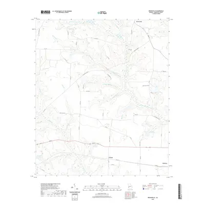
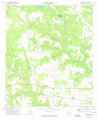 1972 Brooksville1974 Print · USGSRandolph County in the early seventies remained a landscape of quiet rail corridors and scattered rural parishes. Researchers can trace the path of the Central of Georgia railroad through Shellman or locate family landmarks like Pachitla Ch and Lake Marie.
 - 1973 Map of Martins Crossroads, 1975 Print
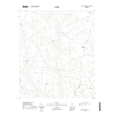
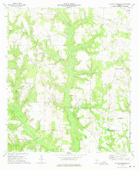 1973 Martins Crossroads1975 Print · USGSRandolph and Calhoun counties are captured in the early seventies, showing a rural landscape defined by family-named landmarks and country churches. Researchers can trace local heritage through sites like Martins Crossroads, Goffs Mill, and the many cemeteries near Jacobs Chapel.
 - 1973 Map of Doverel, 1975 Print
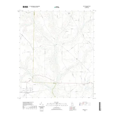
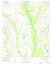 1973 Doverel1975 Print · USGSRandolph and Terrell counties are shown here in the early seventies, a landscape of family farms and creek-side industry. You can trace local roots at Aycock Mill and Collier Cem, or locate rural landmarks like Dover Ch and Five Points.
 - 1981 Map of Albany, 1982 Print
 1981 Albany1982 Print · USGSSouthwest Georgia in the early eighties was a region defined by its rail hubs and winding river systems. Here you can trace the agricultural landscape from Albany to Dawson, locating sites like Radium Springs, the U S Naval Reservation, and the historic junction at Shellman.
 - 2011 Map of Doverel, 2011 Print
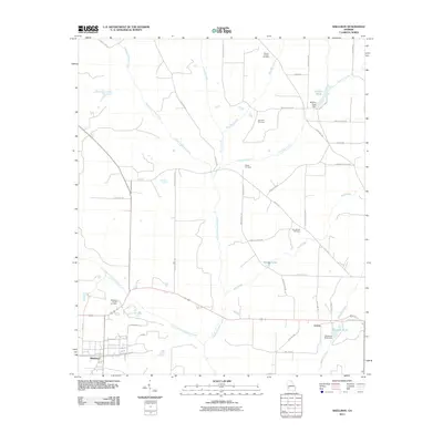
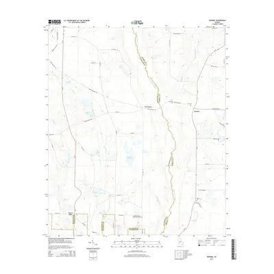
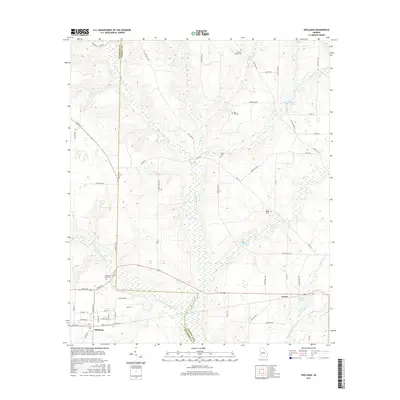
 2011 Doverel2011 Print · USGSCovers Shellman, including Aycock Mill, Doverel, and other nearby areas
 - 2011 Map of Martins Crossroads, 2011 Print
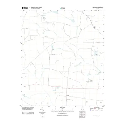
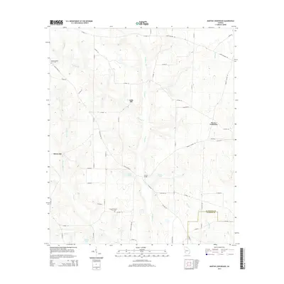
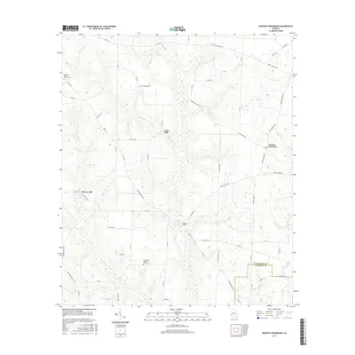
 2011 Martins Crossroads2011 Print · USGSCovers Shellman, including Shivers Mill, Goffs Mill, and other nearby areas
 - 2011 Map of Shellman, 2011 Print
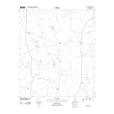
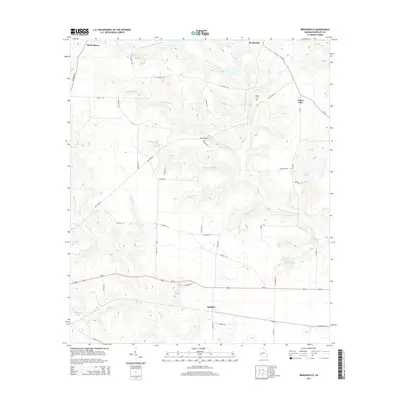
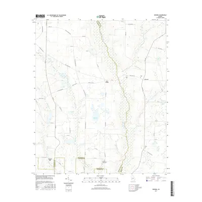
 2011 Shellman2011 Print · USGSCovers Shellman, including Graves, Randolph County, and other nearby areas
 - 2011 Map of Brooksville, 2011 Print
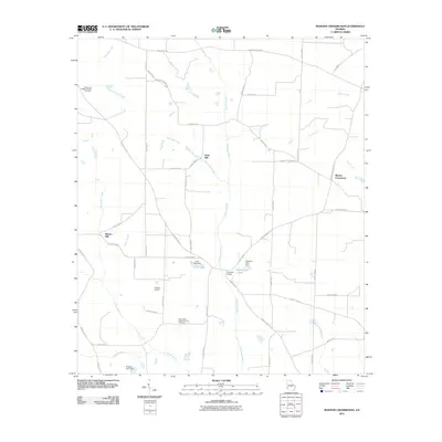
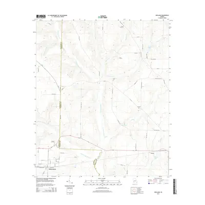
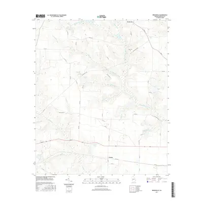
 2011 Brooksville2011 Print · USGSCovers Shellman, including Benevolence, Water Pipe, and other nearby areas
 - 2014 Map of Brooksville, 2014 Print
 2014 Brooksville2014 Print · USGSCovers Shellman, including Benevolence, Water Pipe, and other nearby areas
 - 2014 Map of Doverel, 2014 Print
 2014 Doverel2014 Print · USGSCovers Shellman, including Aycock Mill, Doverel, and other nearby areas
 - 2014 Map of Shellman, 2014 Print
 2014 Shellman2014 Print · USGSCovers Shellman, including Graves, Randolph County, and other nearby areas
 - 2014 Map of Martins Crossroads, 2014 Print
 2014 Martins Crossroads2014 Print · USGSCovers Shellman, including Shivers Mill, Goffs Mill, and other nearby areas
 - 2017 Map of Doverel, 2017 Print
 2017 Doverel2017 Print · USGSCovers Shellman, including Aycock Mill, Doverel, and other nearby areas
 - 2017 Map of Martins Crossroads, 2017 Print
 2017 Martins Crossroads2017 Print · USGSCovers Shellman, including Shivers Mill, Goffs Mill, and other nearby areas
 - 2017 Map of Shellman, 2017 Print
 2017 Shellman2017 Print · USGSCovers Shellman, including Graves, Randolph County, and other nearby areas
 - 2017 Map of Brooksville, 2017 Print
 2017 Brooksville2017 Print · USGSCovers Shellman, including Benevolence, Water Pipe, and other nearby areas
 - 2020 Map of Martins Crossroads, 2020 Print
 2020 Martins Crossroads2020 Print · USGSCovers Shellman, including Shivers Mill, Goffs Mill, and other nearby areas
 - 2020 Map of Shellman, 2020 Print
 2020 Shellman2020 Print · USGSCovers Shellman, including Graves, Randolph County, and other nearby areas
 - 2020 Map of Brooksville, 2020 Print
 2020 Brooksville2020 Print · USGSCovers Shellman, including Benevolence, Water Pipe, and other nearby areas
 - 2020 Map of Doverel, 2020 Print
 2020 Doverel2020 Print · USGSCovers Shellman, including Aycock Mill, Doverel, and other nearby areas
 - 2024 Map of Martins Crossroads, 2024 Print
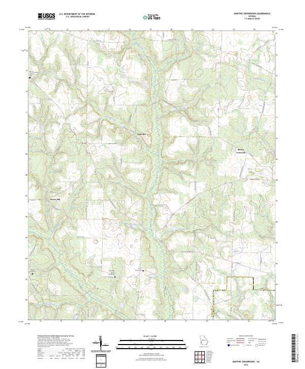 2024 Martins Crossroads2024 Print · USGSRandolph and Calhoun Counties come alive in this detailed record of rural Georgia's mills and family landmarks. Researchers can trace ancestral lands and rural industry near Goffs Mill, Shivers Mill, and the Martin Family Cem.
Showing maps 1-25 of 28
Top cities near Shellman
- Dawson historical maps
- Cuthbert historical maps
- Morgan historical maps
- Edison historical maps
- Parrott historical maps
- Weston historical maps
Frequently asked questions
- What are the different types of historical maps available for Shellman?
- What is the oldest map of Shellman?
- Where can I purchase historical maps of Shellman for my home or office?
- Where can I download high-res historical maps of Shellman?
- Are there historical topographic maps available for Shellman?
- Is there historical aerial imagery available for Shellman?
- Where are historical maps of Shellman sourced from?