Old Maps of Reynoldsville, Georgia for Academic Research
Study the evolution of Reynoldsville with 11 high-resolution historic maps. Whether you're teaching, researching, or modeling changes in land use, these maps provide essential visual documentation of urban, environmental, and geographic change.
- Analyze long-term change: Track patterns in development, transportation, and natural features.
- Ideal for environmental or urban studies: Support academic projects with primary historical map data.
- Use in the classroom or lab: Educators and researchers rely on these maps to bring historical context to life.
These maps are a powerful tool for teaching, research, and visualizing how Reynoldsville has changed over the decades.
Reynoldsville, GA maps
(11)- 1954 Map of Tallahassee, 1967 Print
 1954 Tallahassee1967 Print · USGSThe Florida Panhandle and South Georgia are captured here during a period of mid-century growth and military expansion. Researchers can trace the development of Panama City, the footprint of Tyndall Air Force Base, and the rail lines of the Atlantic Coast Line.4 unique versions available
 - 1955 Map of Reynoldsville, 1956 Print
 1955 Reynoldsville1956 Print · USGSThe Seminole County borderlands are seen here in the mid-fifties as massive water projects reshape the landscape near Reynoldsville. Researchers can trace old family sites at Sealy Plantation, Spring Creek Courthouse, and the FDR Sch.4 unique versions available
 - 1959 Map of Tallahassee
 1959 Tallahassee1959 Print · USGSFlorida's Panhandle and the Big Bend region appear here in the mid-fifties, showing a landscape defined by its great river systems and developing coast. Trace the early layout of Panama City, the expansive Apalachicola National Forest, and the coastal St Marks Lighthouse.
 - 1960 Map of Tallahassee
 1960 Tallahassee1960 Print · USGSThe Florida Panhandle and southern Georgia are captured here in the mid-twentieth century, showing a region defined by its rivers and military installations. Genealogists and historians can trace the growth of Tallahassee or locate coastal landmarks like the St Marks Lighthouse and Tyndall Air Force Base.
 - 1978 Map of Bainbridge, 1980 Print
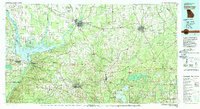 1978 Bainbridge1980 Print · USGSIn the late seventies, this Georgia-Florida borderland was defined by the confluence of the Flint and Chattahoochee rivers. Trace the region's infrastructure via the Seaboard Coast Line Railroad and find sites like Bainbridge State Hospital.
 - 1988 Map of Tallahassee
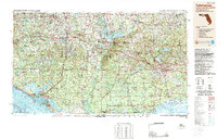 1988 Tallahassee1988 Print · USGSThe Florida Panhandle and South Georgia are captured here in the late eighties, showing the expansion of the regional highway network and coastal growth. Genealogists and historians can trace rail lines like the Seaboard System Railroad or locate family roots in Blountstown, Graceville, or Crawfordville.2 unique versions available
 - 2011 Map of Reynoldsville, 2011 Print
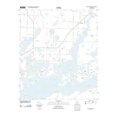 2011 Reynoldsville2011 Print · USGSThe Seminole County lakefront and Flint River confluence are captured here in the early twenty-first century. Researchers can trace family history at Cloud Cemetery or locate old water access points like Spring Creek Landing and Henry Cummings Landing.
 - 2014 Map of Reynoldsville, 2014 Print
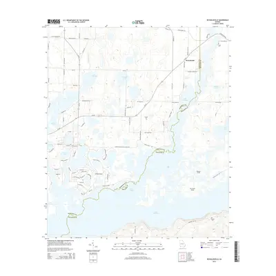 2014 Reynoldsville2014 Print · USGSReynoldsville and the northern reaches of Lake Seminole are captured here just after the turn of the millennium. Researchers can trace family sites like Cloud Cem and Thursby Cem or explore island landmarks like Fort Scott Island.
 - 2017 Map of Reynoldsville, 2017 Print
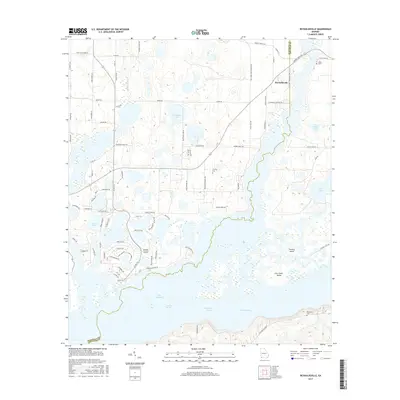 2017 Reynoldsville2017 Print · USGSSeminole County's lakeland and the community of Reynoldsville are captured here in the early twenty-first century. Genealogists and local historians can locate several rural burial sites, including Cloud Cem and Thursby Cem, or trace the submerged spring heads of Devil Den Springs.
 - 2020 Map of Reynoldsville, 2020 Print
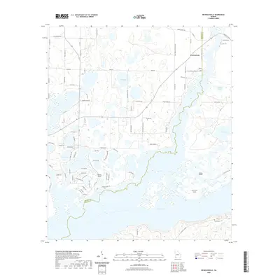 2020 Reynoldsville2020 Print · USGSThe waters of Lake Seminole and the rural community of Reynoldsville define this corner of Georgia as it appeared in 2020. Local researchers can trace family roots through sites like Thursby Cem and explore named landforms including Sealeys Island and Buffalo Pond.
 - 2024 Map of Reynoldsville, 2024 Print
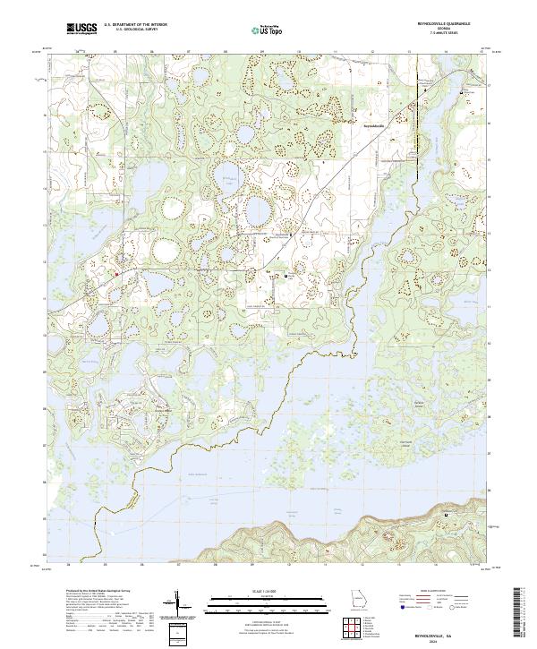 2024 Reynoldsville2024 Print · USGSSeminole County is defined by the massive waters of the reservoir and the rural crossroads of the Georgia panhandle. Trace family heritage and local landmarks at Reynoldsville, the Thursby Family Cem, and Fort Scott Island.
End of results
Showing maps 1-11 of 11
Top cities near Reynoldsville
- Bainbridge historical maps
- Chattahoochee historical maps
- Donalsonville historical maps
- Sneads historical maps
- Grand Ridge historical maps
- Iron City historical maps
See more
Frequently asked questions
- What are the different types of historical maps available for Reynoldsville?
- What is the oldest map of Reynoldsville?
- Where can I purchase historical maps of Reynoldsville for my home or office?
- Where can I download high-res historical maps of Reynoldsville?
- Are there historical topographic maps available for Reynoldsville?
- Is there historical aerial imagery available for Reynoldsville?
- Where are historical maps of Reynoldsville sourced from?