
1955 Map of Reynoldsville
USGS Topo · Published 1956About this map
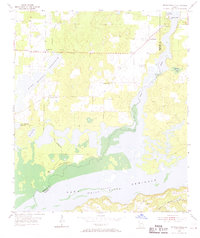
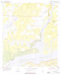
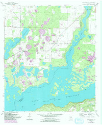
Jim Woodruff Reservoir (Flint River) dominates this mid-1950s landscape, with portions of the basin marked as under construction during the survey. This era defines a period of transition along the Spring Creek and Seminole and Decatur county border, as newly formed water bodies like Ray Lake Reservoir and Lake Decatur reshape the terrain. Local civic life is centered around the Spring Creek Courthouse and the FDR Sch, while numerous small cemeteries such as Thursby Cem and Cloud Cem provide essential data for genealogists tracing families from the Reynoldsville area.
Find a feature on this map
26 named features on this map. Tap any name to fly to it.
Don’t see what you’re looking for? This feature index may not catch every label — zoom into the map to look around manually.
Map Details
Editions of this 1955 Reynoldsville Map
4 editions found
Other maps of this area

1954 · Steam Mill
USGS Topo · 1:24,000

1954 · Sneads
USGS Topo · 1:24,000

1954 · Desser
USGS Topo · 1:24,000

1954 · Tallahassee
USGS Topo · 1:250,000

1955 · Fairchild
USGS Topo · 1:24,000

1955 · Chattahoochee
USGS Topo · 1:24,000

1955 · Bainbridge
USGS Topo · 1:62,500

1955 · Mt Pleasant
USGS Topo · 1:24,000

1959 · Tallahassee
USGS Topo · 1:250,000

1960 · Tallahassee
USGS Topo · 1:250,000