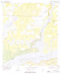
1955 Map of Reynoldsville
USGS Topo · Published 1977About this map
Lake Seminole dominates the landscape of this southwestern Georgia border region in the mid-1950s, shown here while the Jim Woodruff Reservoir was still taking shape. Significant portions of the basin are marked as under construction, revealing the transformation of the Flint River and Spring Creek valley. The map documents rural life near the Florida border at a time when the Atlantic Coast Line railroad still traversed the southern reaches and local landmarks like Sealy Plantation and the FDR Sch anchored the community.
Find a feature on this map
24 named features on this map. Tap any name to fly to it.
Don’t see what you’re looking for? This feature index may not catch every label — zoom into the map to look around manually.
Map Details
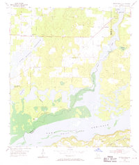
Editions of this 1955 Reynoldsville Map
4 editions found
Other maps of this area

1954 · Steam Mill
USGS Topo · 1:24,000

1954 · Sneads
USGS Topo · 1:24,000

1954 · Desser
USGS Topo · 1:24,000

1954 · Tallahassee
USGS Topo · 1:250,000

1955 · Fairchild
USGS Topo · 1:24,000

1955 · Reynoldsville
USGS Topo · 1:24,000

1955 · Chattahoochee
USGS Topo · 1:24,000

1955 · Bainbridge
USGS Topo · 1:62,500

1955 · Mt Pleasant
USGS Topo · 1:24,000

1959 · Tallahassee
USGS Topo · 1:250,000