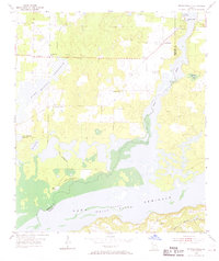
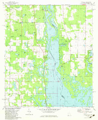
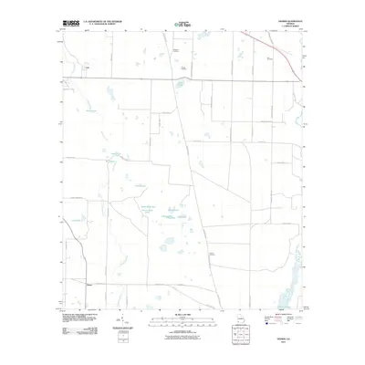
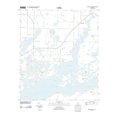
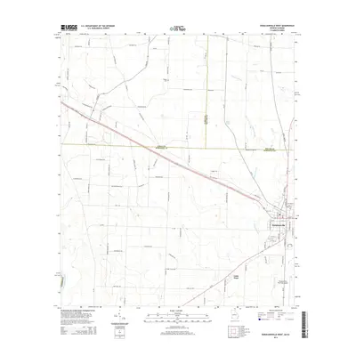
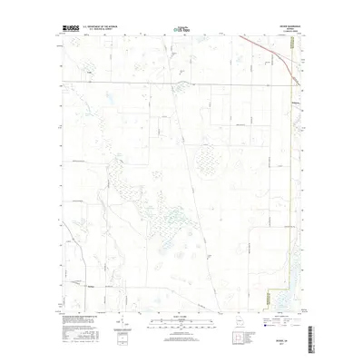
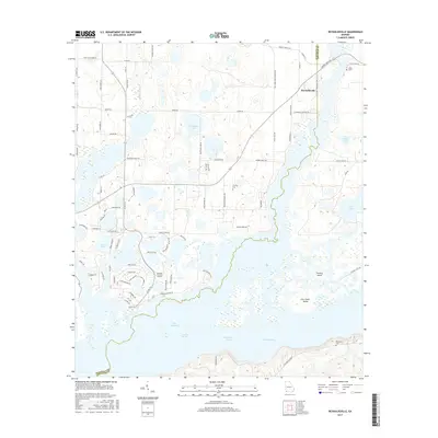
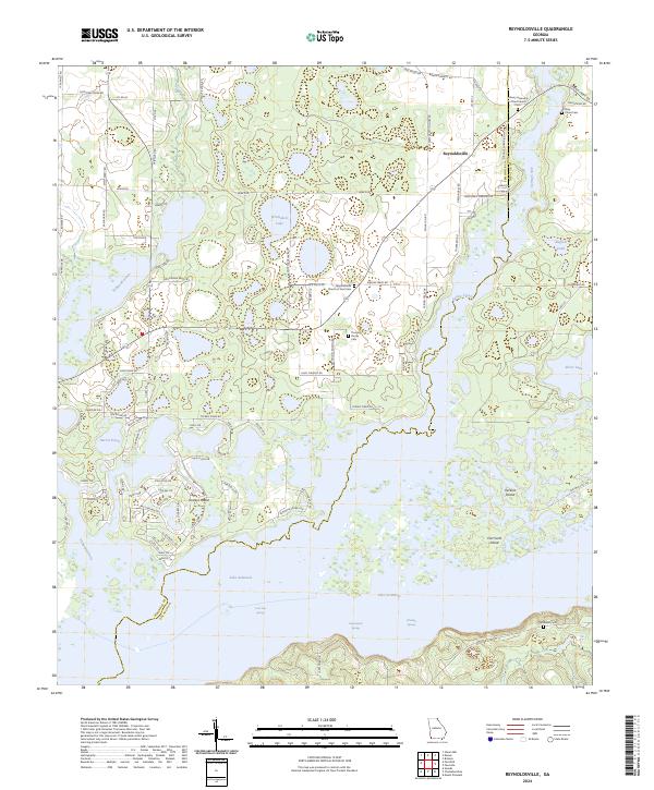
1955 Map of Reynoldsville
USGS Topo · Published 1969About this map
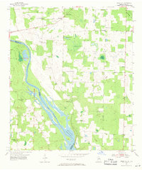
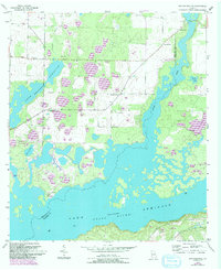
Sealy Plantation and the surrounding river bottomlands dominate this mid-century survey of the Georgia-Florida borderlands during the filling of the Jim Woodruff Reservoir. The landscape is in a state of transition as the waters of Lake Seminole and the Flint River begin to reshape the terrain. Longstanding community hubs like the Spring Creek Courthouse and FDR Sch serve the rural residents of Reynoldsville and Fairchild, while the Bainbridge Air Base Landing Field indicates a strategic military presence near the county line. Genealogy researchers will find several family-named landmarks, including Thursby Cem, Cloud Cem, and Randolph Cem, situated among the complex network of ponds and drains like Fishpond Drain and Buffalo Pond that define this lowland region.
Find a feature on this map
26 named features on this map. Tap any name to fly to it.
Don’t see what you’re looking for? This feature index may not catch every label — zoom into the map to look around manually.
Map Details
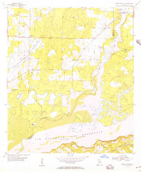
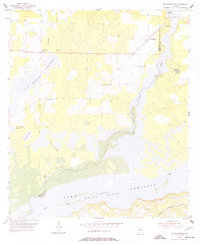
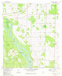
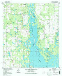
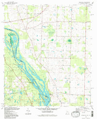
Editions of this 1955 Reynoldsville Map
4 editions found
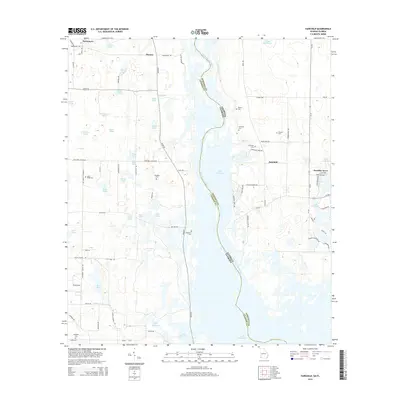
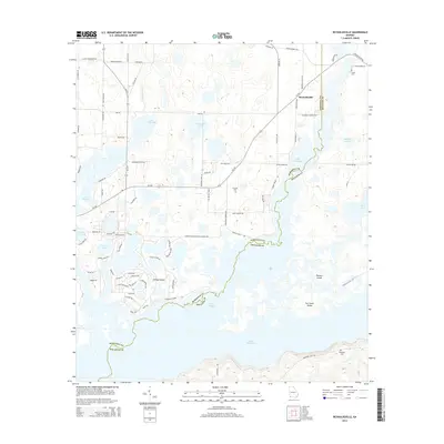
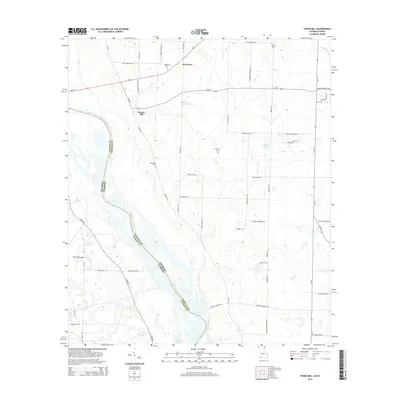
Historical Maps of Reynoldsville Through Time
39 maps found
1954 Desser
Seminole County, GA
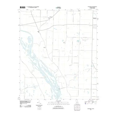
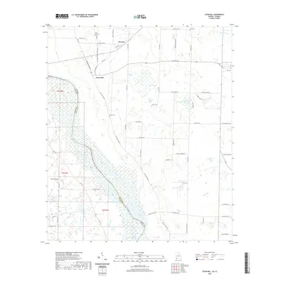
1954 Steam Mill
Seminole County, GA
1955 Reynoldsville
Seminole County, GA
1974 Donalsonville East
Seminole County, GA
1974 Donalsonville West
Seminole County, GA
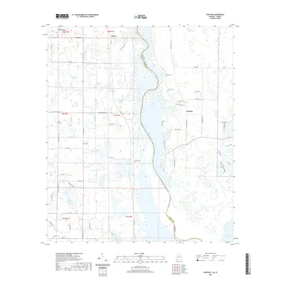
1982 Fairchild
Seminole County, GA
1982 Steam Mill
Seminole County, GA
1994 Fairchild
Seminole County, GA
1994 Steam Mill
Seminole County, GA
2011 Desser
Seminole County, GA
2011 Donalsonville East
Seminole County, GA
2011 Donalsonville West
Seminole County, GA
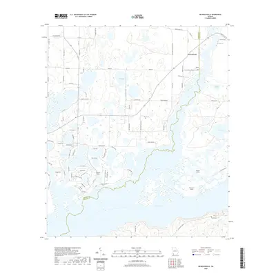
2011 Fairchild
Seminole County, GA
2011 Reynoldsville
Seminole County, GA
2011 Steam Mill
Seminole County, GA
2014 Desser
Seminole County, GA
2014 Donalsonville East
Seminole County, GA
2014 Donalsonville West
Seminole County, GA
2014 Fairchild
Seminole County, GA
2014 Reynoldsville
Seminole County, GA
2014 Steam Mill
Seminole County, GA
2017 Desser
Seminole County, GA
2017 Donalsonville East
Seminole County, GA
2017 Donalsonville West
Seminole County, GA
2017 Fairchild
Seminole County, GA
2017 Reynoldsville
Seminole County, GA
2017 Steam Mill
Seminole County, GA
2020 Desser
Seminole County, GA
2020 Donalsonville East
Seminole County, GA
2020 Donalsonville West
Seminole County, GA
2020 Fairchild
Seminole County, GA
2020 Reynoldsville
Seminole County, GA
2020 Steam Mill
Seminole County, GA
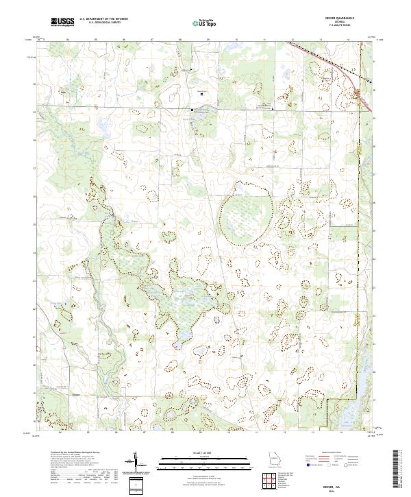
2024 Desser
Seminole County, GA
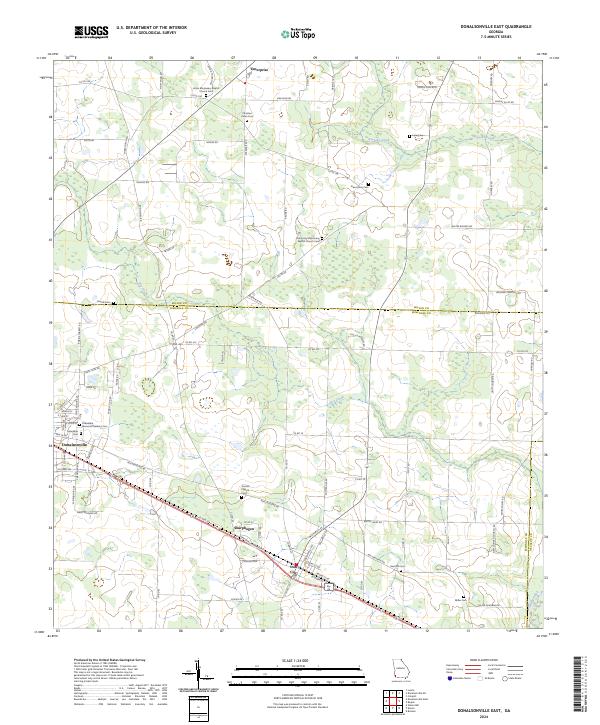
2024 Donalsonville East
Seminole County, GA
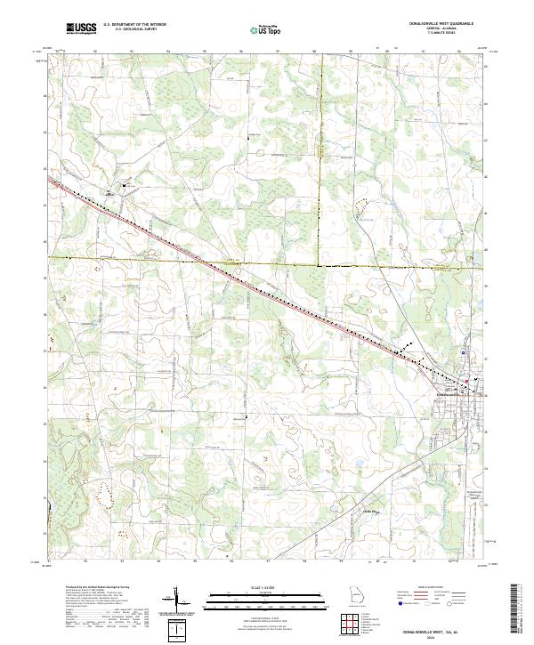
2024 Donalsonville West
Seminole County, GA
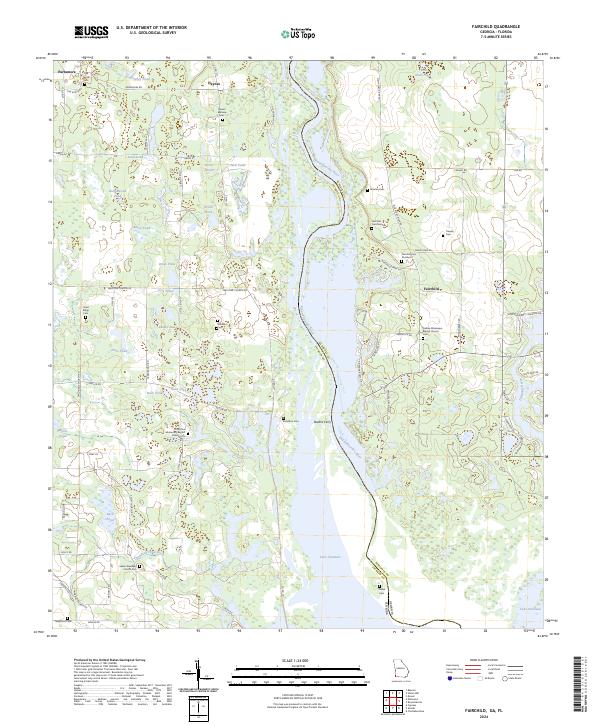
2024 Fairchild
Seminole County, GA
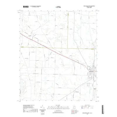
2024 Reynoldsville
Seminole County, GA
2024 Steam Mill
Seminole County, GA