2000s (21st Century) Maps of Taylor County, Georgia
Explore 65 historic maps of Taylor County from the 2000s (21st Century). These maps offer a rare glimpse into what life looked like during the 2000s — showing old roads, neighborhoods, homes, and landmarks that have changed or disappeared over time.
Whether you're researching your family's past, planning a metal detecting trip, or studying how Taylor County's landscape evolved across the 2000s, these high-resolution maps are a powerful tool for exploring the history of this region.
- Focus on a specific era: All maps on this page are from the 2000s, giving you a focused view of this time period.
- See what’s changed: Compare century-old streets, trails, and buildings to today's modern landscape using overlays and satellite layers.
- Research with precision: Use these maps for genealogy, historical research, land use analysis, or educational projects.
- View, download, or print: Maps are fully viewable online in high resolution, and can be downloaded or printed for your own records.
Start exploring Taylor County's history through authentic maps from the 2000s. This is your window into the past.
Taylor County, GA maps
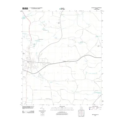
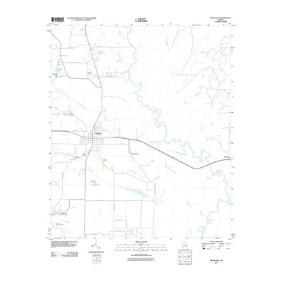
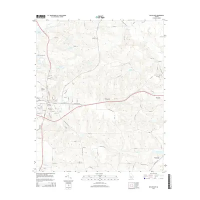
(65)- 2011 Map of Butler West, 2011 Print
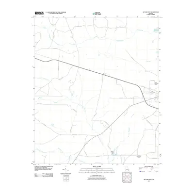 2011 Butler West2011 Print · USGSCovers Taylor County, including Butler, Goldson, and other nearby areas
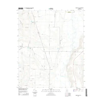
 - 2011 Map of Garden Valley, 2011 Print
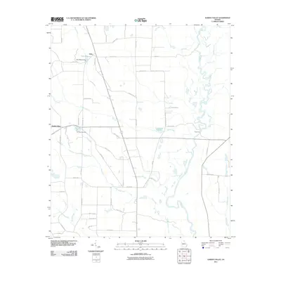 2011 Garden Valley2011 Print · USGSCovers Taylor County, including Garden Valley, Hicks, and other nearby areas
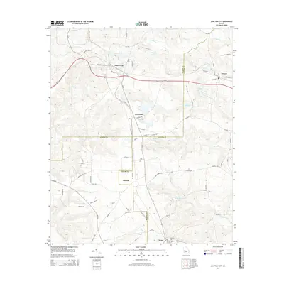
 - 2011 Map of Junction City, 2011 Print
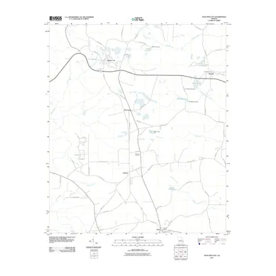 2011 Junction City2011 Print · USGSCovers Taylor County, including Junction City, Mauk, and other nearby areas
 - 2011 Map of Tazewell North, 2011 Print
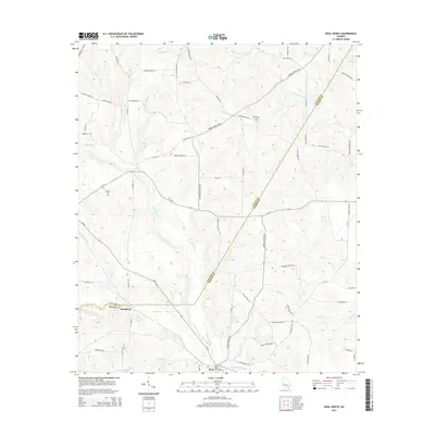
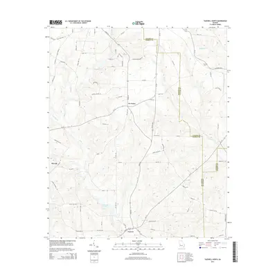
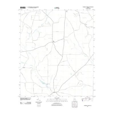 2011 Tazewell North2011 Print · USGSCovers Taylor County, including Five Points, Tazewell, and other nearby areas
 - 2011 Map of Butler East, 2011 Print
 2011 Butler East2011 Print · USGSCovers Taylor County, including Butler, Reynolds, and other nearby areas
 - 2011 Map of Rupert, 2011 Print
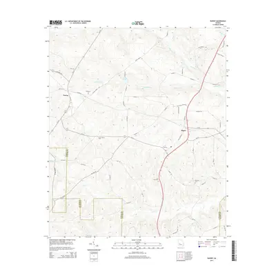
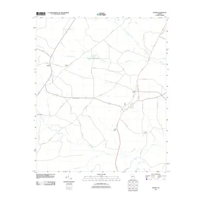 2011 Rupert2011 Print · USGSCovers Taylor County, including Charing, Rupert, and other nearby areas
 - 2011 Map of Roberta, 2011 Print
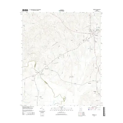
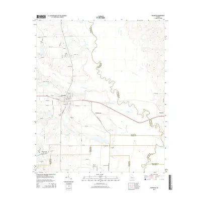
 2011 Roberta2011 Print · USGSCovers Taylor County, including Roberta, Griffith, and other nearby areas
 - 2011 Map of Baldwinville, 2011 Print
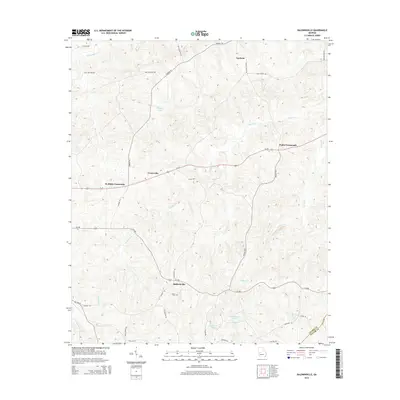
 2011 Baldwinville2011 Print · USGSCovers Taylor County, including Ypsilanti, Centerville, and other nearby areas
 - 2011 Map of Ellaville North, 2011 Print
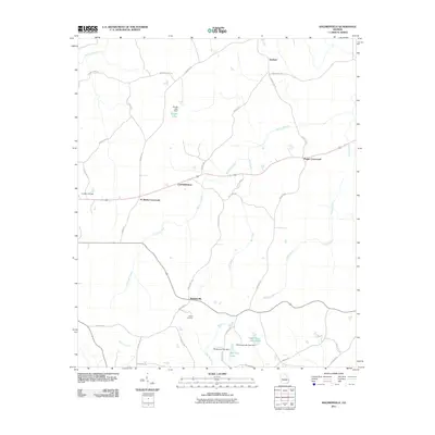
 2011 Ellaville North2011 Print · USGSCovers Taylor County, including Ellaville, Concord, and other nearby areas
 - 2011 Map of Ideal North, 2011 Print
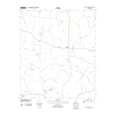
 2011 Ideal North2011 Print · USGSCovers Taylor County, including Ideal, Southland, and other nearby areas
 - 2011 Map of Fickling Mill, 2011 Print
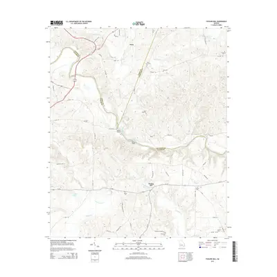
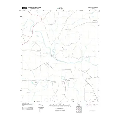 2011 Fickling Mill2011 Print · USGSCovers Taylor County, including Fickling Mill, Upson County, and other nearby areas
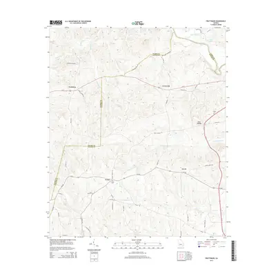
 - 2011 Map of Prattsburg, 2011 Print
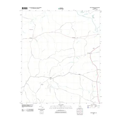 2011 Prattsburg2011 Print · USGSCovers Taylor County, including Carsonville, Prattsburg, and other nearby areas
 - 2011 Map of Reynolds, 2011 Print
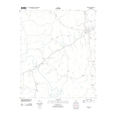
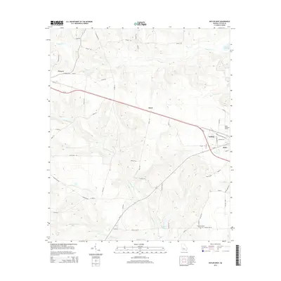
 2011 Reynolds2011 Print · USGSCovers Taylor County, including Reynolds, Beechwood, and other nearby areas
 - 2014 Map of Ideal North, 2014 Print
 2014 Ideal North2014 Print · USGSCovers Taylor County, including Ideal, Southland, and other nearby areas
 - 2014 Map of Prattsburg, 2014 Print
 2014 Prattsburg2014 Print · USGSCovers Taylor County, including Carsonville, Prattsburg, and other nearby areas
 - 2014 Map of Roberta, 2014 Print
 2014 Roberta2014 Print · USGSCovers Taylor County, including Roberta, Griffith, and other nearby areas
 - 2014 Map of Tazewell North, 2014 Print
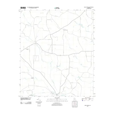
 2014 Tazewell North2014 Print · USGSCovers Taylor County, including Five Points, Tazewell, and other nearby areas
 - 2014 Map of Reynolds, 2014 Print
 2014 Reynolds2014 Print · USGSCovers Taylor County, including Reynolds, Beechwood, and other nearby areas
 - 2014 Map of Baldwinville, 2014 Print
 2014 Baldwinville2014 Print · USGSCovers Taylor County, including Ypsilanti, Centerville, and other nearby areas
 - 2014 Map of Butler West, 2014 Print
 2014 Butler West2014 Print · USGSCovers Taylor County, including Butler, Goldson, and other nearby areas
 - 2014 Map of Butler East, 2014 Print
 2014 Butler East2014 Print · USGSCovers Taylor County, including Butler, Reynolds, and other nearby areas
 - 2014 Map of Junction City, 2014 Print
 2014 Junction City2014 Print · USGSCovers Taylor County, including Junction City, Mauk, and other nearby areas
 - 2014 Map of Rupert, 2014 Print
 2014 Rupert2014 Print · USGSCovers Taylor County, including Charing, Rupert, and other nearby areas
 - 2014 Map of Garden Valley, 2014 Print
 2014 Garden Valley2014 Print · USGSCovers Taylor County, including Garden Valley, Hicks, and other nearby areas
 - 2014 Map of Fickling Mill, 2014 Print
 2014 Fickling Mill2014 Print · USGSCovers Taylor County, including Fickling Mill, Upson County, and other nearby areas
Showing maps 1-25 of 65
Top cities of Taylor County
Frequently asked questions
- What are the different types of historical maps available for Taylor County?
- What is the oldest map of Taylor County?
- Where can I purchase historical maps of Taylor County for my home or office?
- Where can I download high-res historical maps of Taylor County?
- Are there historical topographic maps available for Taylor County?
- Is there historical aerial imagery available for Taylor County?
- Where are historical maps of Taylor County sourced from?