2010s Maps of Taylor County, Georgia
Explore 39 historic maps of Taylor County from the 2010s. These maps offer a rare glimpse into what life looked like during the 2010s — showing old roads, neighborhoods, homes, and landmarks that have changed or disappeared over time.
Whether you're researching your family's past, planning a metal detecting trip, or studying how Taylor County's landscape evolved across the 2010s, these high-resolution maps are a powerful tool for exploring the history of this region.
- Focus on a specific era: All maps on this page are from the 2010s, giving you a focused view of this time period.
- See what’s changed: Compare century-old streets, trails, and buildings to today's modern landscape using overlays and satellite layers.
- Research with precision: Use these maps for genealogy, historical research, land use analysis, or educational projects.
- View, download, or print: Maps are fully viewable online in high resolution, and can be downloaded or printed for your own records.
Start exploring Taylor County's history through authentic maps from the 2010s. This is your window into the past.
Taylor County, GA maps
(39)- 2011 Map of Butler West, 2011 Print
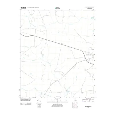 2011 Butler West2011 Print · USGSTaylor County's rural landscapes are documented here during the early twenty-first century, showing a mix of agricultural roads and creekside settlements. Genealogists and local historians can trace family ties at the Lieutenant Colonel Brewer Cemetery or locate the community of Goldson.
 - 2011 Map of Garden Valley, 2011 Print
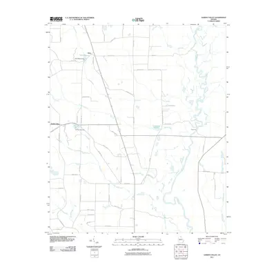 2011 Garden Valley2011 Print · USGSThe Flint River bottomlands and the quiet settlement of Garden Valley are captured here in the early twenty-first century. Researchers can trace the legacy of local water power at Hicks Millpond or locate the historic crossing at Miona Ferry.
 - 2011 Map of Junction City, 2011 Print
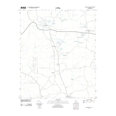 2011 Junction City2011 Print · USGSJunction City and its surrounding hamlets are captured here in the early twenty-first century, showing the enduring rural character of Talbot County. Researchers can trace family roots through the Pine Level Cemetery or locate old community centers like Norwich and the Howard Post Office.
 - 2011 Map of Tazewell North, 2011 Print
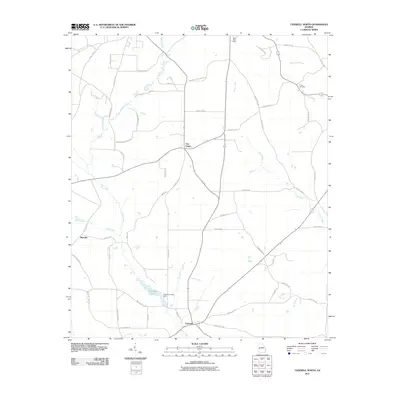 2011 Tazewell North2011 Print · USGSMarion County, Georgia, is documented here in the early twenty-first century as a landscape of small rural junctions and winding creek beds. Genealogists and local historians can trace family locations near Tazewell, Trinity Cemetery, or the historic Mauk Post Office.
 - 2011 Map of Butler East, 2011 Print
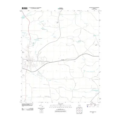 2011 Butler East2011 Print · USGSTaylor County at the start of the 2010s reveals a landscape of rural crossroads and historic millponds surrounding the town of Butler. Researchers can locate family landmarks at Turners Chapel Cemetery or trace the waterways of Minors Millpond and Horse Creek.
 - 2011 Map of Rupert, 2011 Print
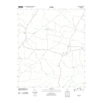 2011 Rupert2011 Print · USGSThe Taylor County interior comes into focus during the early 2000s, showing a landscape shaped by rural industry and local history. Genealogists can trace family connections at Bloodworth Cemetery and Sand Bethel Cemetery or locate the Rupert Post Office.
 - 2011 Map of Roberta, 2011 Print
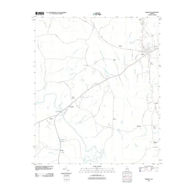 2011 Roberta2011 Print · USGSCrawford County, Georgia, is documented here in the early twenty-first century as a network of rural crossroads and river-bottom lands. Genealogists can trace family names through numerous sites like Lowe Cemetery, the settlement of Francisville, and Hawkins Bridge on the Flint River.
 - 2011 Map of Baldwinville, 2011 Print
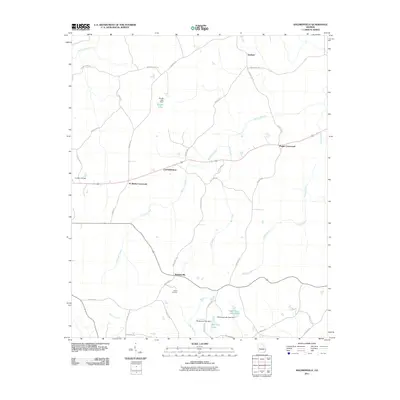 2011 Baldwinville2011 Print · USGSTalbot County at the beginning of the twenty-first century reveals a landscape of enduring rural crossroads and family-named landmarks. Researchers can trace land ties near Adams Cemetery or follow the routes connecting Po Biddy Crossroads, Baldwinville, and Ypsilanti.
 - 2011 Map of Ellaville North, 2011 Print
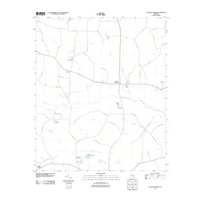 2011 Ellaville North2011 Print · USGSSchley County’s rural character is well-preserved in the early twenty-first century, showing a landscape defined by creeks and local ponds. Researchers can locate family landmarks such as Rufus Peepe Lake South and historic crossroads like Concord and Murrays Crossroads.
 - 2011 Map of Ideal North, 2011 Print
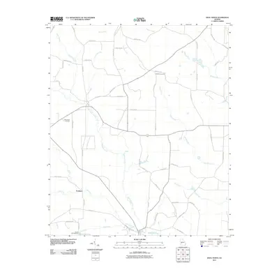 2011 Ideal North2011 Print · USGSMacon County's rural agricultural lands are captured here in the early twenty-first century, centered on the Whitewater Creek basin. Researchers can locate the settlement of Southland and trace local family history at Bethlehem Cemetery or Mount Sinai Cemetery.
 - 2011 Map of Fickling Mill, 2011 Print
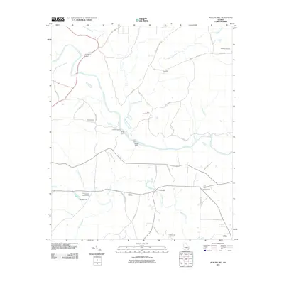 2011 Fickling Mill2011 Print · USGSTaylor County in the early 21st century remains a landscape of traditional river crossings and small community landmarks. Genealogists can trace family burial sites at Macedonia Cemetery and Crowell Cemetery or locate the historic Taylor County Holiness Camp Ground.
 - 2011 Map of Prattsburg, 2011 Print
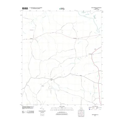 2011 Prattsburg2011 Print · USGSThe rural crossroads of Taylor County are captured here in the early twenty-first century. Genealogists can locate family landmarks like Antioch Cemetery and Scott-Bussy Cemetery or trace the lands near Prattsburg and Jarrell.
 - 2011 Map of Reynolds, 2011 Print
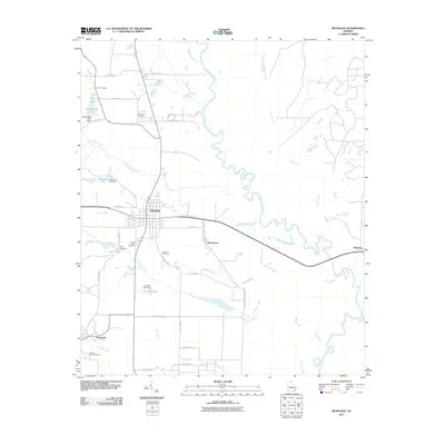 2011 Reynolds2011 Print · USGSTaylor County at the start of the century is defined by rural settlements and the winding Flint River. Genealogists and local historians can locate community landmarks like Potterville, New Hope Cemetery, and the banks of Patsiliga Creek.
 - 2014 Map of Ideal North, 2014 Print
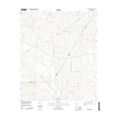 2014 Ideal North2014 Print · USGSCrossing the boundary of Taylor and Macon counties in the mid-2010s, this area maintains its traditional rural character shaped by creek systems. Genealogists and local historians can locate Mt Sinai Cem, the community of Southland, and family landmarks along Tommy Purvis Jr Rd.
 - 2014 Map of Prattsburg, 2014 Print
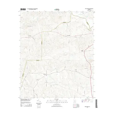 2014 Prattsburg2014 Print · USGSTaylor and Talbot counties at the start of the 2010s remain defined by quiet rural settlements and the winding course of the Flint River. Researchers can trace family history through local landmarks like Wesley Cem and Scott Bussy Cem or the small community of Jarrell.
 - 2014 Map of Roberta, 2014 Print
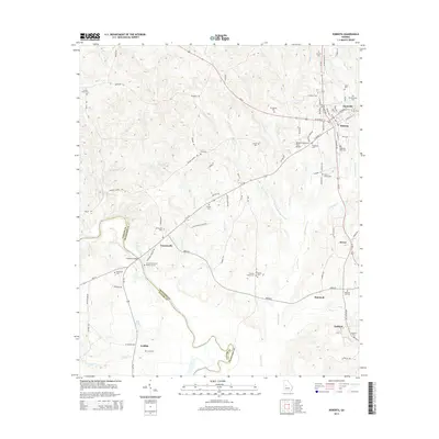 2014 Roberta2014 Print · USGSCrawford County at the start of the 2010s shows a landscape defined by the Flint River and a deep network of rural settlements. Researchers can trace historic family connections through sites like Hawkins Grave, Old Knoxville Cem, and the community of Francisville.
 - 2014 Map of Tazewell North, 2014 Print
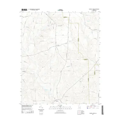 2014 Tazewell North2014 Print · USGSMarion and Taylor counties are captured here in the early twenty-first century as the traditional rural landscape remains intact. Researchers can locate family landmarks such as Trinity Cem and Tazewell, or trace the historical routes of Fort Perry Rd and Poll Mill Rd.
 - 2014 Map of Reynolds, 2014 Print
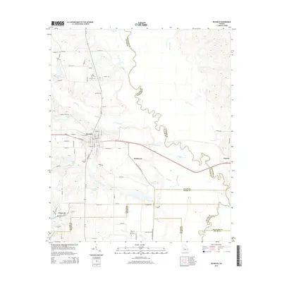 2014 Reynolds2014 Print · USGSThe rural landscape around Reynolds is captured here in the early twenty-first century, centered on the strategic crossing of GA-96 and GA-128. Genealogists can trace family heritage through local landmarks like White Hill Cem, Potterville, and the banks of the Flint River.
 - 2014 Map of Baldwinville, 2014 Print
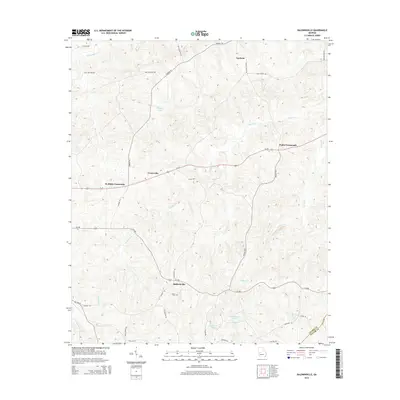 2014 Baldwinville2014 Print · USGSThe Talbot and Taylor County borderlands are captured here in the early twenty-first century as a network of crossroads and creeks. Family researchers can trace locations like Adams Cem and rural settlements such as Baldwinville and Po Biddy Crossroads.
 - 2014 Map of Butler West, 2014 Print
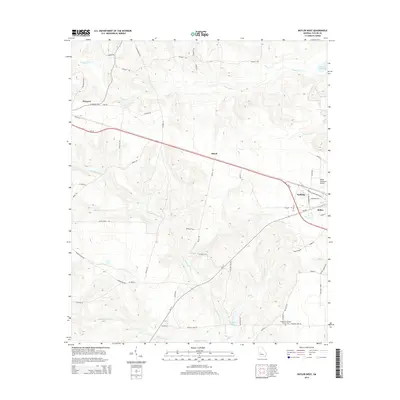 2014 Butler West2014 Print · USGSWest of the Taylor County seat in the early twenty-first century, this landscape reveals a rural network of family-named roads and creek crossings. Genealogists and locals can trace features like the Lieutenant Colonel Brewer Cem, the settlement at Howard, and the waters of Little Whitewater Cr.
 - 2014 Map of Butler East, 2014 Print
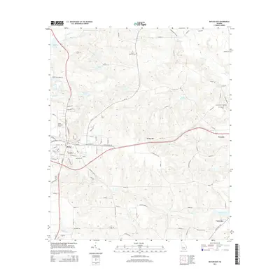 2014 Butler East2014 Print · USGSTaylor County at the start of the 2010s shows a landscape of small settlements and traditional mill sites. Genealogists can trace family names through Turners Chapel Cem or New Prospect Cem and locate landmarks like McCants Millpond.
 - 2014 Map of Junction City, 2014 Print
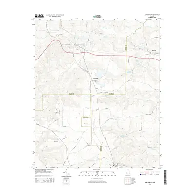 2014 Junction City2014 Print · USGSThe rural borderlands of Talbot, Taylor, and Marion counties are captured here in the early twenty-first century. Researchers can trace family history through sites like Level Cem and Mauk Cem or locate the old milling sites at Parks Millpond and Watson Millpond.
 - 2014 Map of Rupert, 2014 Print
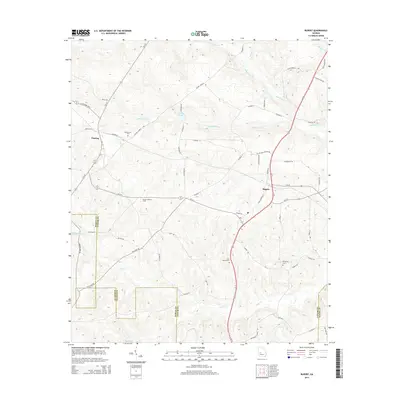 2014 Rupert2014 Print · USGSTaylor County agriculture and timber lands are well-defined in this contemporary survey of the Rupert and Charing area. Researchers can trace local family lineages through Bloodworth Cem and locate landmarks like the Beulah Lookout Tower.
 - 2014 Map of Garden Valley, 2014 Print
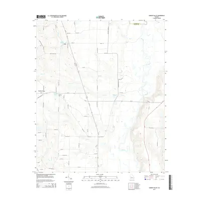 2014 Garden Valley2014 Print · USGSGarden Valley and its surrounding Macon County farmland are captured here in the early twenty-first century, just west of the Flint River. Researchers can trace family history through sites like Pleasant Grove Cem and local landmarks like Hicks Millpond and Miona Springs.
 - 2014 Map of Fickling Mill, 2014 Print
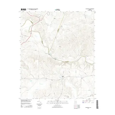 2014 Fickling Mill2014 Print · USGSTaylor and Crawford counties meet along the Flint River in this 2010s survey of central Georgia. Genealogists and local historians can trace family burial sites like Midway Cem and Wainwright Cem or locate river crossings at Islands Ford and Reeves Shoals.
Showing maps 1-25 of 39
Top cities of Taylor County
Frequently asked questions
- What are the different types of historical maps available for Taylor County?
- What is the oldest map of Taylor County?
- Where can I purchase historical maps of Taylor County for my home or office?
- Where can I download high-res historical maps of Taylor County?
- Are there historical topographic maps available for Taylor County?
- Is there historical aerial imagery available for Taylor County?
- Where are historical maps of Taylor County sourced from?