2020s Maps of Taylor County, Georgia
Explore 26 historic maps of Taylor County from the 2020s. These maps offer a rare glimpse into what life looked like during the 2020s — showing old roads, neighborhoods, homes, and landmarks that have changed or disappeared over time.
Whether you're researching your family's past, planning a metal detecting trip, or studying how Taylor County's landscape evolved across the 2020s, these high-resolution maps are a powerful tool for exploring the history of this region.
- Focus on a specific era: All maps on this page are from the 2020s, giving you a focused view of this time period.
- See what’s changed: Compare century-old streets, trails, and buildings to today's modern landscape using overlays and satellite layers.
- Research with precision: Use these maps for genealogy, historical research, land use analysis, or educational projects.
- View, download, or print: Maps are fully viewable online in high resolution, and can be downloaded or printed for your own records.
Start exploring Taylor County's history through authentic maps from the 2020s. This is your window into the past.
Taylor County, GA maps
(26)- 2020 Map of Garden Valley, 2020 Print
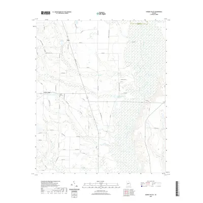 2020 Garden Valley2020 Print · USGSCovers Taylor County, including Garden Valley, Hicks, and other nearby areas
 - 2020 Map of Prattsburg, 2020 Print
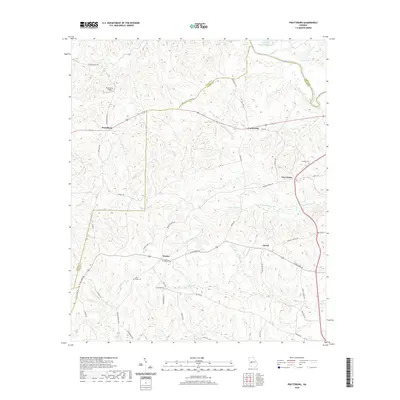 2020 Prattsburg2020 Print · USGSCovers Taylor County, including Carsonville, Prattsburg, and other nearby areas
 - 2020 Map of Ideal North, 2020 Print
 2020 Ideal North2020 Print · USGSCovers Taylor County, including Ideal, Southland, and other nearby areas
 - 2020 Map of Ellaville North, 2020 Print
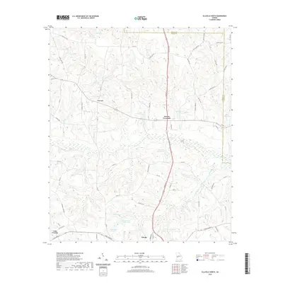 2020 Ellaville North2020 Print · USGSCovers Taylor County, including Ellaville, Concord, and other nearby areas
 - 2020 Map of Fickling Mill, 2020 Print
 2020 Fickling Mill2020 Print · USGSCovers Taylor County, including Fickling Mill, Upson County, and other nearby areas
 - 2020 Map of Rupert, 2020 Print
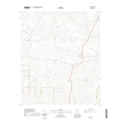 2020 Rupert2020 Print · USGSCovers Taylor County, including Charing, Rupert, and other nearby areas
 - 2020 Map of Butler East, 2020 Print
 2020 Butler East2020 Print · USGSCovers Taylor County, including Butler, Reynolds, and other nearby areas
 - 2020 Map of Butler West, 2020 Print
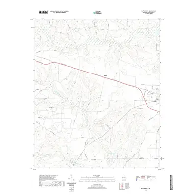 2020 Butler West2020 Print · USGSCovers Taylor County, including Butler, Goldson, and other nearby areas
 - 2020 Map of Roberta, 2020 Print
 2020 Roberta2020 Print · USGSCovers Taylor County, including Roberta, Griffith, and other nearby areas
 - 2020 Map of Junction City, 2020 Print
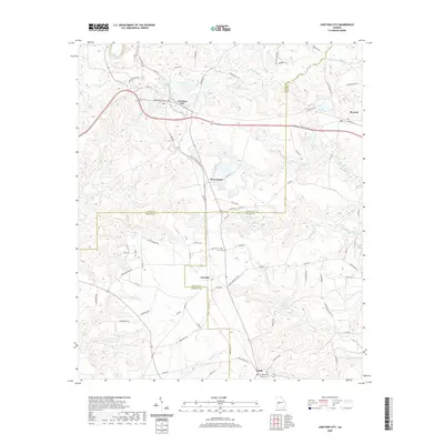 2020 Junction City2020 Print · USGSCovers Taylor County, including Junction City, Mauk, and other nearby areas
 - 2020 Map of Baldwinville, 2020 Print
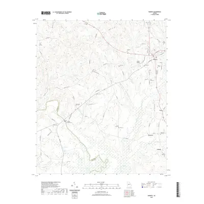
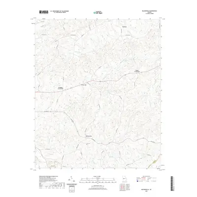 2020 Baldwinville2020 Print · USGSCovers Taylor County, including Ypsilanti, Centerville, and other nearby areas
 - 2020 Map of Tazewell North, 2020 Print
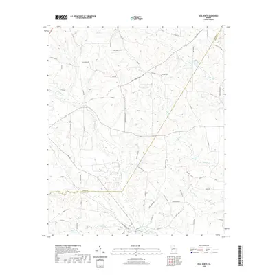
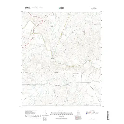
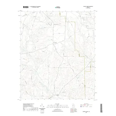 2020 Tazewell North2020 Print · USGSCovers Taylor County, including Five Points, Tazewell, and other nearby areas
 - 2020 Map of Reynolds, 2020 Print
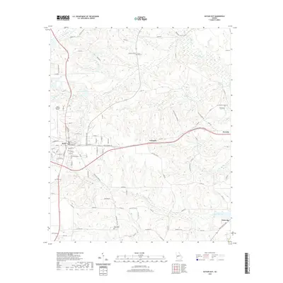
 2020 Reynolds2020 Print · USGSCovers Taylor County, including Reynolds, Beechwood, and other nearby areas
 - 2024 Map of Prattsburg, 2024 Print
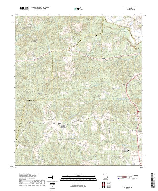 2024 Prattsburg2024 Print · USGSThe rolling lands of Taylor County are mapped in detail during the early 2020s, showing a landscape of rural crossroads and river boundaries. Genealogists can trace family connections at Antioch Church Cem, Wesley, and the historic W Old Wire Rd.
 - 2024 Map of Baldwinville, 2024 Print
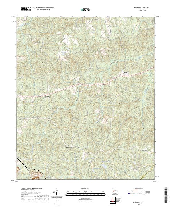 2024 Baldwinville2024 Print · USGSTalbot County's rural character is on full display in this recent look at the communities and creeks near the Taylor County line. Genealogists can locate Adams Cem and trace the historic route of Old Wire Rd past Baldwinville.
 - 2024 Map of Fickling Mill, 2024 Print
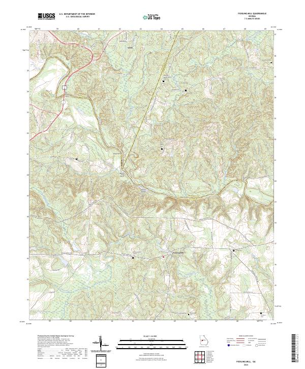 2024 Fickling Mill2024 Print · USGSThe Flint River borderlands of Taylor and Crawford counties are shown here in modern detail. Genealogists can trace family footprints through numerous local sites including Fickling Mill, Midway Baptist Church Cem, and the historic crossing at Trices Ferry.
 - 2024 Map of Tazewell North, 2024 Print
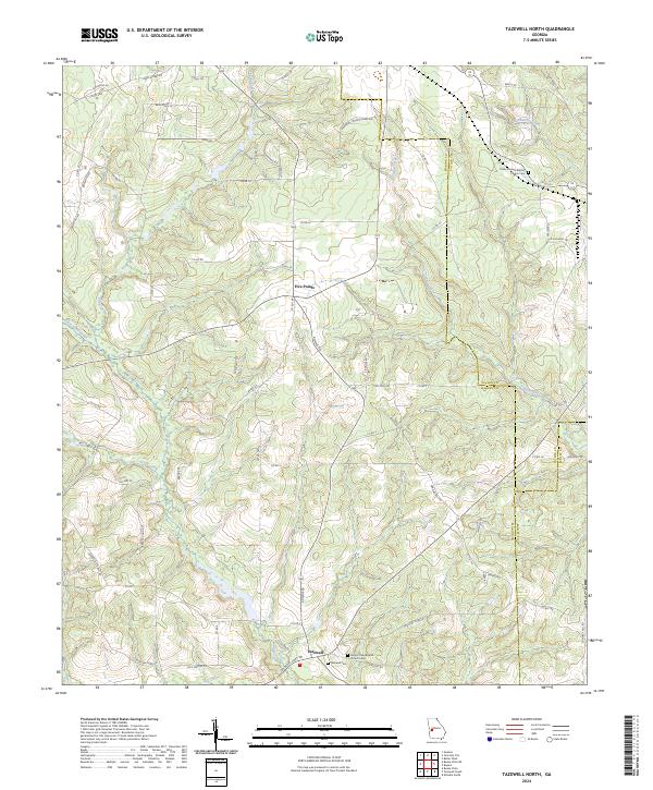 2024 Tazewell North2024 Print · USGSMarion County at the start of the 2020s shows a quiet landscape of rural crossroads and old cemeteries. Trace family roots at Tazewell Cem and find historic routes like the Old Chishom Trl near Five Points.
 - 2024 Map of Garden Valley, 2024 Print
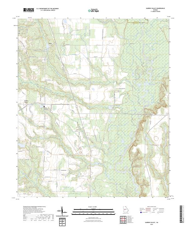 2024 Garden Valley2024 Print · USGSGarden Valley and its surrounding timberlands are documented here in the 2020s, showing a landscape shaped by the Flint River and old country crossroads. Genealogists can trace family landmarks and burial sites like the Pleasant Grove Baptist Church Cem or find old water features like Hicks Millpond.
 - 2024 Map of Junction City, 2024 Print
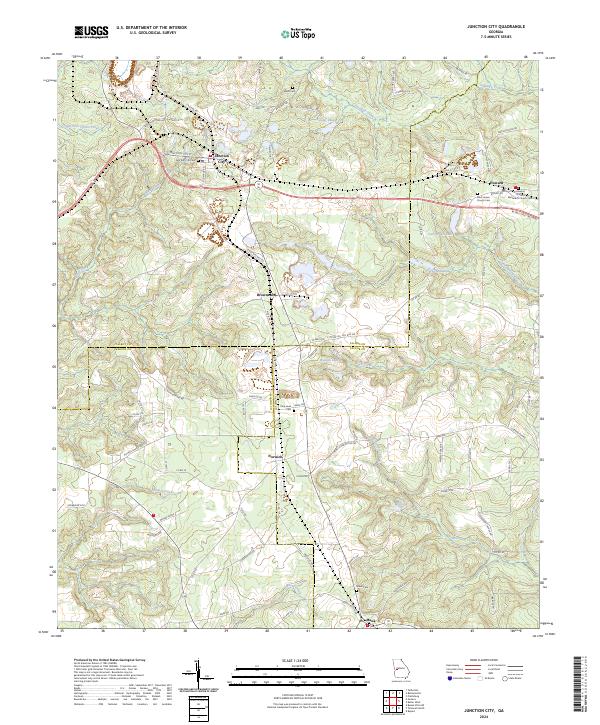 2024 Junction City2024 Print · USGSThe rural borderlands of Talbot, Marion, and Taylor counties come into focus in this contemporary survey of West Georgia. Researchers can trace historic community centers like Junction City and Howard, alongside local landmarks such as Parks Millpond and Mauk Cem.
 - 2024 Map of Butler West, 2024 Print
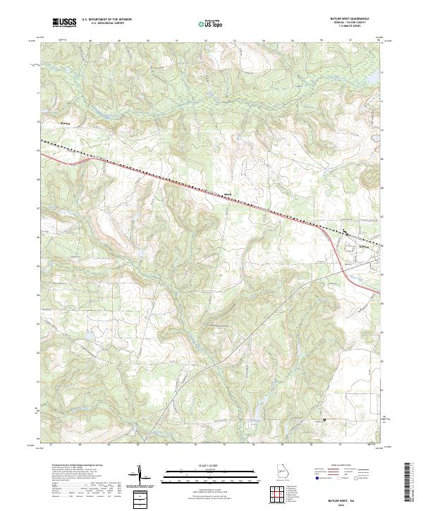 2024 Butler West2024 Print · USGSTaylor County in the current decade is defined by its rural road networks and the wetlands of the Fall Line. Researchers can trace local history through the Brewer Cem and settlements like Howard and Goldson, or follow the course of Patsiliga Creek.
 - 2024 Map of Ideal North, 2024 Print
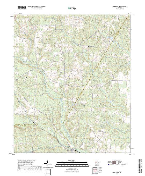 2024 Ideal North2024 Print · USGSTaylor and Macon counties are shown in this modern survey, where the settlement of Ideal anchors a landscape of creeks and family homesteads. Researchers can trace land tracts via Tommy Purvis Jr Rd or locate ancestors at Mount Sinai Cem.
 - 2024 Map of Ellaville North, 2024 Print
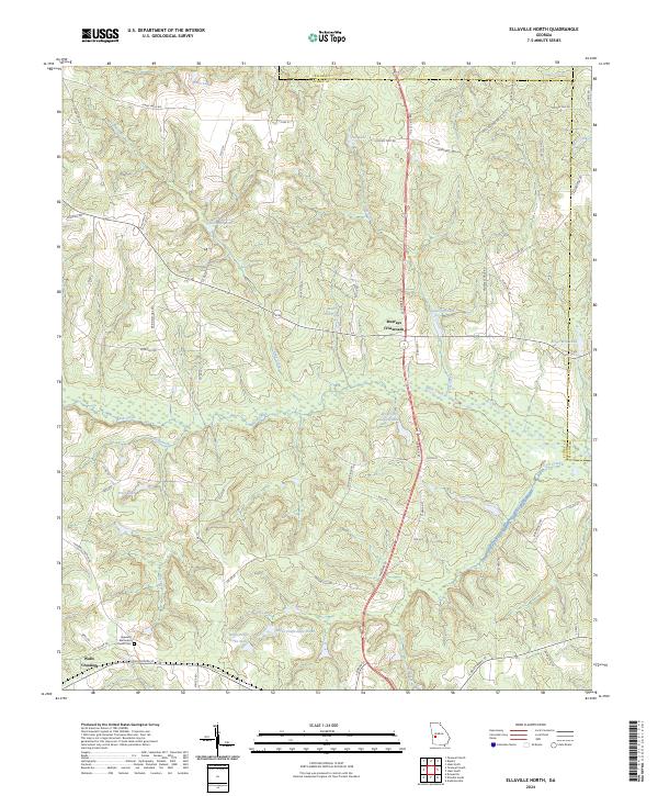 2024 Ellaville North2024 Print · USGSSchley County's rural crossroads and millponds are captured here in the modern era. Researchers can trace family-named landmarks and local sites like Murrays Crossroads, Hills Millpond, and the Hopewell Methodist Church Cem.
 - 2024 Map of Butler East, 2024 Print
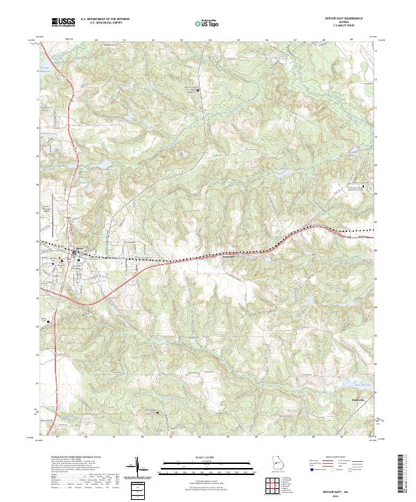 2024 Butler East2024 Print · USGSTaylor County, Georgia, is shown here in its modern configuration, centered on the activity of Butler and surrounding rural settlements. Researchers can trace family history through sites like Bethel Cem or explore local landmarks like Minors Millpond and the Butler Municipal Airport.
 - 2024 Map of Rupert, 2024 Print
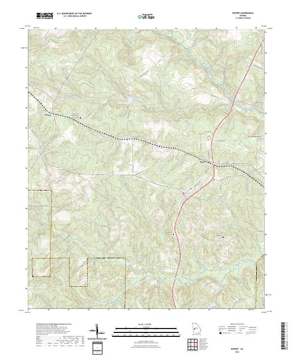 2024 Rupert2024 Print · USGSTaylor County is shown in the modern era as a landscape of rural crossroads and winding creek branches. Genealogists can locate family landmarks such as Mount Nebo Primitive Baptist Church Cem, Prosperity Cem, and the small settlement of Charing.
 - 2024 Map of Reynolds, 2024 Print
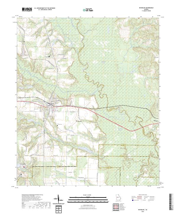 2024 Reynolds2024 Print · USGSTaylor County and its neighboring borders are documented here in the early twenty-first century, showcasing the region's river-driven geography. Genealogists can trace family roots through numerous local landmarks like Taylor Mill Baptist Church Cem, Potterville, and the White Hill Cem.
Showing maps 1-25 of 26
Top cities of Taylor County
Frequently asked questions
- What are the different types of historical maps available for Taylor County?
- What is the oldest map of Taylor County?
- Where can I purchase historical maps of Taylor County for my home or office?
- Where can I download high-res historical maps of Taylor County?
- Are there historical topographic maps available for Taylor County?
- Is there historical aerial imagery available for Taylor County?
- Where are historical maps of Taylor County sourced from?