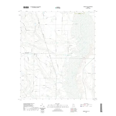
2020 Map of Garden Valley
USGS Topo · Published 2020About this map
Flint River defines the eastern boundary of this West Georgia landscape, where its winding course creates the broad wetlands of Bryants Swamp and Pinks Cr. The settlement of Garden Valley serves as a local hub, situated near Pleasant Grove Church and its associated cemetery. Further north, the small community of Hicks sits near the headwaters of Hicks Millpond, illustrating a long-standing reliance on local water impoundments for agriculture or industry.
Find a feature on this map
67 named features on this map. Tap any name to fly to it.
Don’t see what you’re looking for? This feature index may not catch every label — zoom into the map to look around manually.
Map Details
Editions of this 2020 Garden Valley Map
This is the sole edition of this map. No revisions or reprints were ever made.
Other maps of this area

1955 · Phenix City
USGS Topo · 1:250,000

1956 · Fort Valley
USGS Topo · 1:62,500

1957 · Phenix City
USGS Topo · 1:250,000

1957 · Macon
USGS Topo · 1:250,000

1958 · Macon
USGS Topo · 1:250,000

1958 · Phenix City
USGS Topo · 1:250,000

1964 · Macon
USGS Topo · 1:250,000

1971 · Ideal South
USGS Topo · 1:24,000

1971 · Reynolds
USGS Topo · 1:24,000

1971 · Ideal North
USGS Topo · 1:24,000