Old Maps of Lumber City, Georgia for Metal Detecting
Plan your next treasure hunt with 10 historic maps of Lumber City. Find old homesites, ghost towns, trails, and gathering spots that may be lost to time — perfect for identifying promising metal detecting locations.
- Locate forgotten sites: Uncover places like long-lost settlements, abandoned rail lines, or gathering spots.
- Plan better hunts: Use map overlays combined with LiDAR or satellite views to narrow in on historically rich areas.
- Made for detectorists: Thousands of hobbyists use these maps to discover relics, coins, and hidden history.
Use these historic maps to boost your research and find new opportunities beneath the surface of Lumber City.
Lumber City, GA maps
(10)- 1953 Map of Waycross, 1967 Print
 1953 Waycross1967 Print · USGSSouth Georgia's agricultural and rail heartland is captured here in the mid-1950s, showing a vast network of timber and farming towns. Researchers can trace the rail lines connecting Waycross and Tifton or locate landmarks like Jefferson Davis State Park and Lake Blackshear.2 unique versions available
 - 1958 Map of Waycross
 1958 Waycross1958 Print · USGSSoutheast Georgia in the late fifties remains a landscape of deep river basins and vital rail junctions. Genealogists and historians can trace family-named landmarks and rural hubs like Union Church, South Georgia College, and the sprawling Okefenokee Swamp.2 unique versions available
 - 1971 Map of Lumber City, 1974 Print
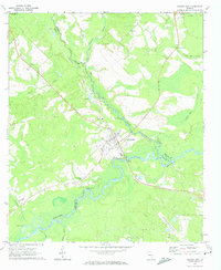 1971 Lumber City1974 Print · USGSLumber City during the early seventies serves as a vital river-and-rail hub where the Southern Railway meets the Ocmulgee River. Genealogists and local historians can trace family locations through McArthur Cem, Ocmulgee Academy, and Walkers Camp.2 unique versions available
 - 1979 Map of Hazlehurst, 1980 Print
 1979 Hazlehurst1980 Print · USGSSoutheast Georgia in the late seventies is defined by the convergence of major rail lines and river basins in Jeff Davis and Appling counties. Genealogists and local historians can trace the development of Hazlehurst and Baxley alongside features like the Pine Grove Pipeline and the Altamaha River wetlands.
 - 1988 Map of Waycross
 1988 Waycross1988 Print · USGSSouth Georgia's wiregrass and timber country is documented here in the late eighties, centered on the vital rail junction of Waycross. Genealogists and historians can trace the rural landscape from Okefenokee up to the Ocmulgee, finding sites like Lumber City and Jefferson Davis Memorial State Park.
 - 2011 Map of Lumber City, 2011 Print
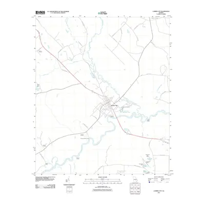 2011 Lumber City2011 Print · USGSLumber City and its surrounding river landings are documented here in the early twenty-first century as the Ocmulgee River winds through Telfair County. Researchers can trace family plots at Riverside Cemetery or Wooten Cemetery and locate river landmarks like Hard Bargain Landing.
 - 2014 Map of Lumber City, 2014 Print
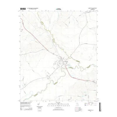 2014 Lumber City2014 Print · USGSThe river-bend settlement of Lumber City is documented here in the early twenty-first century at the meeting of three counties. Local historians can trace family roots at Riverside Cem or Cedar Grove Cem and explore the legacy of river transit along Burketts Ferry Rd.
 - 2017 Map of Lumber City, 2017 Print
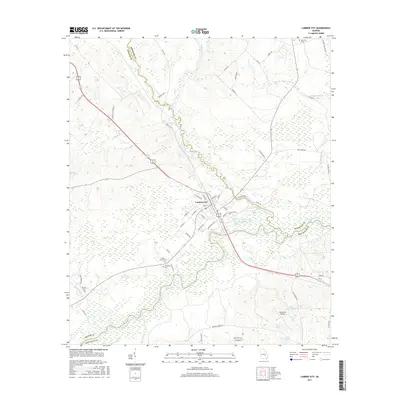 2017 Lumber City2017 Print · USGSLumber City sits at the strategic junction of the Ocmulgee and Little Ocmulgee Rivers in the late 2010s. Researchers can trace local heritage through several family and community landmarks, including Riverside Cem, McArthur Cem, and the nearby Hazlehurst Airport.
 - 2020 Map of Lumber City, 2020 Print
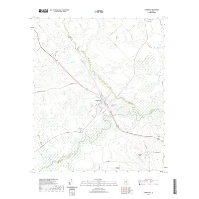 2020 Lumber City2020 Print · USGSLumber City and the triple-county border of Telfair, Wheeler, and Jeff Davis are captured here at the meeting of the two rivers. Researchers can locate several burial grounds including Riverside Cem and Cedar Grove Cem, or trace the winding course of the Little Ocmulgee River.
 - 2024 Map of Lumber City, 2024 Print
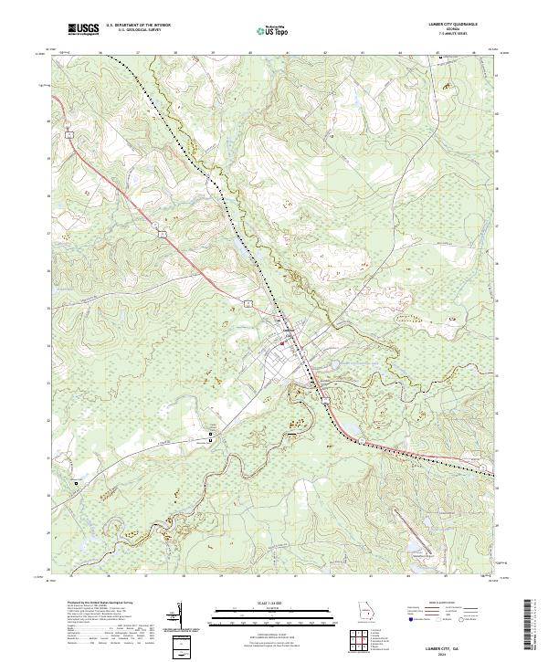 2024 Lumber City2024 Print · USGSLumber City stands at the three-county junction of the Ocmulgee River basin in the modern era. Local history researchers can trace riverfront development near the Lumber City Ferry and locate family burial grounds like Riverside Cem and McArthur Cem.
End of results
Showing maps 1-10 of 10
Top cities near Lumber City
- McRae–Helena historical maps
- McRae-Helena historical maps
- Hazlehurst historical maps
- Alamo historical maps
- Uvalda historical maps
- Scotland historical maps
See more
Frequently asked questions
- What are the different types of historical maps available for Lumber City?
- What is the oldest map of Lumber City?
- Where can I purchase historical maps of Lumber City for my home or office?
- Where can I download high-res historical maps of Lumber City?
- Are there historical topographic maps available for Lumber City?
- Is there historical aerial imagery available for Lumber City?
- Where are historical maps of Lumber City sourced from?