2000s (21st Century) Maps of Towns, Georgia
Explore 20 historic maps of Towns from the 2000s (21st Century). These maps offer a rare glimpse into what life looked like during the 2000s — showing old roads, neighborhoods, homes, and landmarks that have changed or disappeared over time.
Whether you're researching your family's past, planning a metal detecting trip, or studying how Towns's landscape evolved across the 2000s, these high-resolution maps are a powerful tool for exploring the history of this region.
- Focus on a specific era: All maps on this page are from the 2000s, giving you a focused view of this time period.
- See what’s changed: Compare century-old streets, trails, and buildings to today's modern landscape using overlays and satellite layers.
- Research with precision: Use these maps for genealogy, historical research, land use analysis, or educational projects.
- View, download, or print: Maps are fully viewable online in high resolution, and can be downloaded or printed for your own records.
Start exploring Towns's history through authentic maps from the 2000s. This is your window into the past.
Towns, GA maps
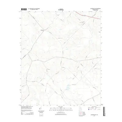
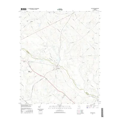
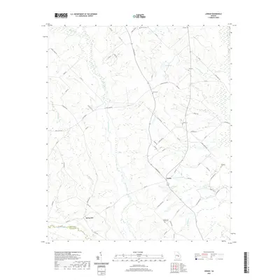
(20)- 2011 Map of Scotland, 2011 Print
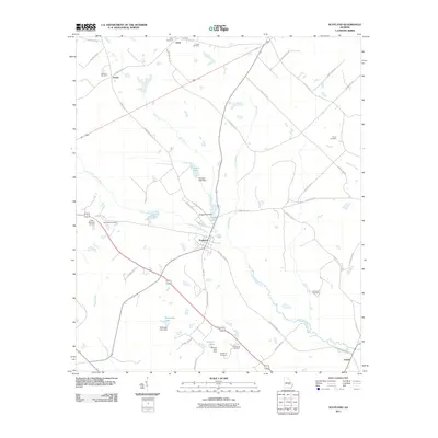 2011 Scotland2011 Print · USGSCovers Towns, including McRae–Helena, Scotland, and other nearby areas
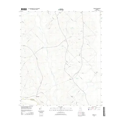
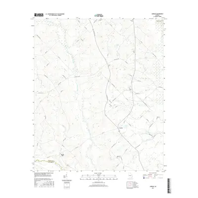
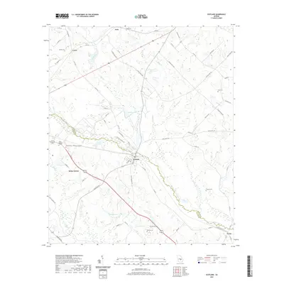
 - 2011 Map of Jordan, 2011 Print
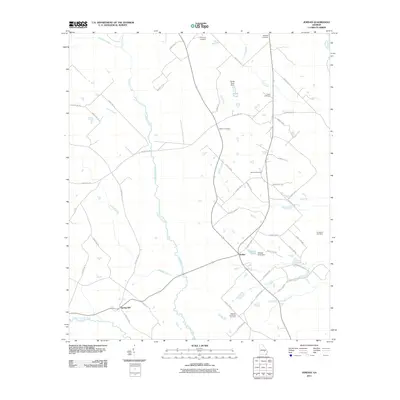 2011 Jordan2011 Print · USGSCovers Towns, including Jordan, Spring Hill, and other nearby areas
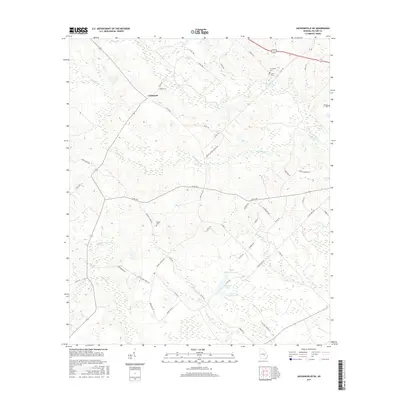
 - 2011 Map of Jacksonville NE, 2011 Print
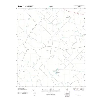 2011 Jacksonville NE2011 Print · USGSCovers Towns, including Cedarpark, Telfair County, and other nearby areas
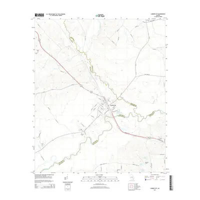
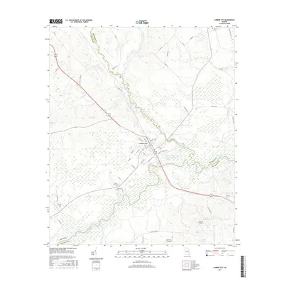
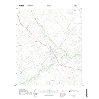
 - 2011 Map of Lumber City, 2011 Print
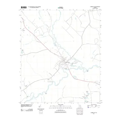 2011 Lumber City2011 Print · USGSCovers Towns, including Lumber City, Telfair County, and other nearby areas
 - 2014 Map of Jacksonville NE, 2014 Print
 2014 Jacksonville NE2014 Print · USGSCovers Towns, including Cedarpark, Telfair County, and other nearby areas
 - 2014 Map of Jordan, 2014 Print
 2014 Jordan2014 Print · USGSCovers Towns, including Jordan, Spring Hill, and other nearby areas
 - 2014 Map of Scotland, 2014 Print
 2014 Scotland2014 Print · USGSCovers Towns, including McRae–Helena, Scotland, and other nearby areas
 - 2014 Map of Lumber City, 2014 Print
 2014 Lumber City2014 Print · USGSCovers Towns, including Lumber City, Telfair County, and other nearby areas
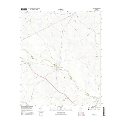
 - 2017 Map of Scotland, 2017 Print
 2017 Scotland2017 Print · USGSCovers Towns, including McRae–Helena, Scotland, and other nearby areas
 - 2017 Map of Jordan, 2017 Print
 2017 Jordan2017 Print · USGSCovers Towns, including Jordan, Spring Hill, and other nearby areas
 - 2017 Map of Lumber City, 2017 Print
 2017 Lumber City2017 Print · USGSCovers Towns, including Lumber City, Telfair County, and other nearby areas
 - 2017 Map of Jacksonville NE, 2017 Print
 2017 Jacksonville NE2017 Print · USGSCovers Towns, including Cedarpark, Telfair County, and other nearby areas
 - 2020 Map of Jordan, 2020 Print
 2020 Jordan2020 Print · USGSCovers Towns, including Jordan, Spring Hill, and other nearby areas
 - 2020 Map of Scotland, 2020 Print
 2020 Scotland2020 Print · USGSCovers Towns, including McRae–Helena, Scotland, and other nearby areas
 - 2020 Map of Jacksonville NE, 2020 Print
 2020 Jacksonville NE2020 Print · USGSCovers Towns, including Cedarpark, Telfair County, and other nearby areas
 - 2020 Map of Lumber City, 2020 Print
 2020 Lumber City2020 Print · USGSCovers Towns, including Lumber City, Telfair County, and other nearby areas
 - 2024 Map of Jacksonville NE, 2024 Print
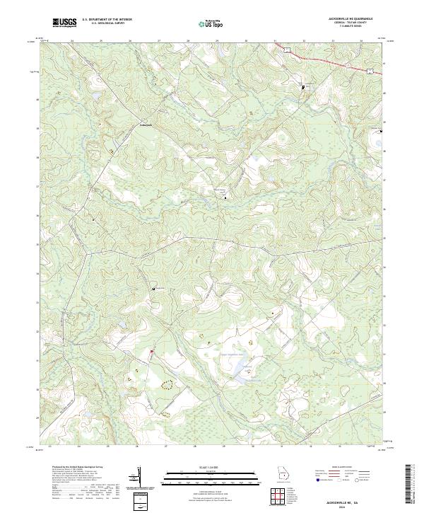 2024 Jacksonville NE2024 Print · USGSTelfair County’s rural landscapes are recorded here in the mid-2020s, showing a community structured by creek beds and country roads. Genealogists can locate family landmarks like Powell Cem, Wooten Cem, and the Mount Calvary Church grounds near Cedarpark.
 - 2024 Map of Lumber City, 2024 Print
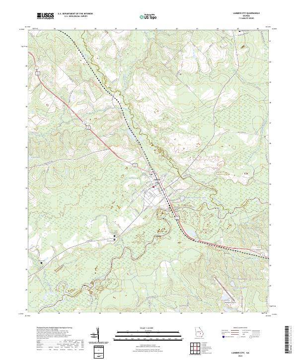 2024 Lumber City2024 Print · USGSLumber City stands at the three-county junction of the Ocmulgee River basin in the modern era. Local history researchers can trace riverfront development near the Lumber City Ferry and locate family burial grounds like Riverside Cem and McArthur Cem.
 - 2024 Map of Scotland, 2024 Print
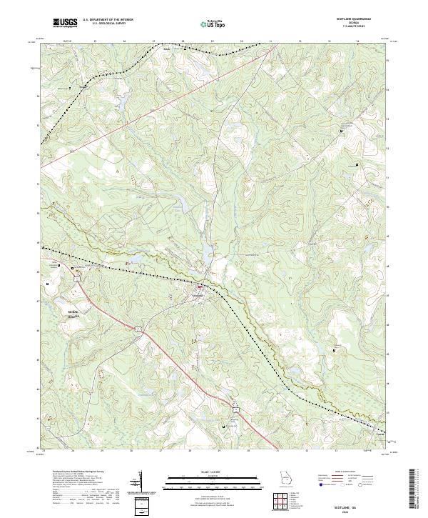 2024 Scotland2024 Print · USGSThe borderlands of Wheeler and Telfair counties come into focus here, centered on the historic crossroads of Scotland. Genealogists can trace family roots through numerous local sites including McDuffie Cem, Hinson Cem, and the Union Primitive Baptist Church.
 - 2024 Map of Jordan, 2024 Print
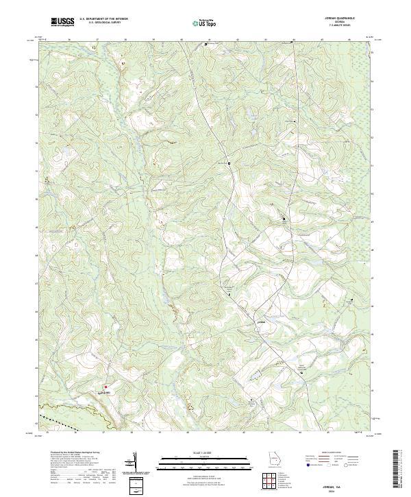 2024 Jordan2024 Print · USGSWheeler County's agricultural and riverine landscape is captured in this modern survey, centered on the crossroads at Jordan. Researchers can locate numerous family burial grounds including Adams Cem and Livingston Cem alongside the winding Alligator Creek.
End of results
Showing maps 1-20 of 20
Top cities near Towns
- McRae-Helena historical maps
- McRae–Helena historical maps
- Hazlehurst historical maps
- Alamo historical maps
- Mount Vernon historical maps
- Lumber City historical maps
See more
Frequently asked questions
- What are the different types of historical maps available for Towns?
- What is the oldest map of Towns?
- Where can I purchase historical maps of Towns for my home or office?
- Where can I download high-res historical maps of Towns?
- Are there historical topographic maps available for Towns?
- Is there historical aerial imagery available for Towns?
- Where are historical maps of Towns sourced from?