Old Maps of Towns, Georgia for Academic Research
Study the evolution of Towns with 33 high-resolution historic maps. Whether you're teaching, researching, or modeling changes in land use, these maps provide essential visual documentation of urban, environmental, and geographic change.
- Analyze long-term change: Track patterns in development, transportation, and natural features.
- Ideal for environmental or urban studies: Support academic projects with primary historical map data.
- Use in the classroom or lab: Educators and researchers rely on these maps to bring historical context to life.
These maps are a powerful tool for teaching, research, and visualizing how Towns has changed over the decades.
Towns, GA maps
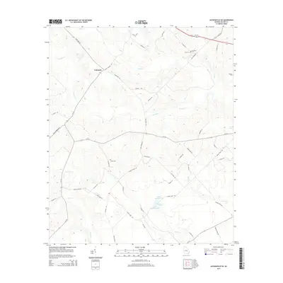
(33)- 1953 Map of Waycross, 1967 Print
 1953 Waycross1967 Print · USGSSouth Georgia's agricultural and rail heartland is captured here in the mid-1950s, showing a vast network of timber and farming towns. Researchers can trace the rail lines connecting Waycross and Tifton or locate landmarks like Jefferson Davis State Park and Lake Blackshear.2 unique versions available
 - 1957 Map of Macon
 1957 Macon1957 Print · USGSMid-century Georgia comes into focus as the river-and-rail economy shifts toward a new era of aviation and highway travel. Trace family roots and vanished landmarks across the Ocmulgee River valley from Macon to the onion fields of Vidalia.
 - 1958 Map of Macon
 1958 Macon1958 Print · USGSMiddle Georgia during the late fifties shows the post-war expansion of Warner Robins alongside the deep-rooted rail hubs of the Central of Georgia line. Researchers can trace the river-bound boundaries of numerous counties and find local landmarks like Veterans Memorial Hospital and Robins AFB.
 - 1958 Map of Waycross
 1958 Waycross1958 Print · USGSSoutheast Georgia in the late fifties remains a landscape of deep river basins and vital rail junctions. Genealogists and historians can trace family-named landmarks and rural hubs like Union Church, South Georgia College, and the sprawling Okefenokee Swamp.2 unique versions available
 - 1964 Map of Macon
 1964 Macon1964 Print · USGSCentral Georgia in the mid-sixties is defined by its major river valleys and a booming military presence. Genealogists and historians can trace the growth of Warner Robins near Robins AFB or locate smaller rural junctions like Allentown and Jeffersonville along the historic Southern railroad lines.2 unique versions available
 - 1970 Map of Scotland, 1973 Print
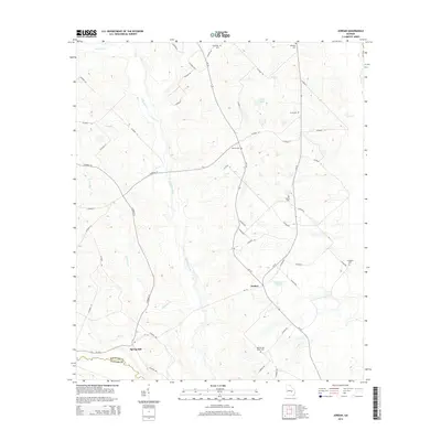
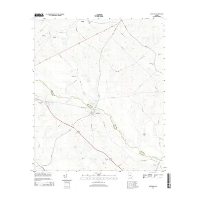
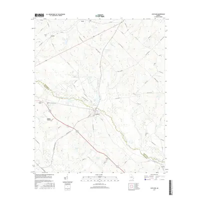
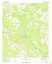 1970 Scotland1973 Print · USGSThe Georgia wiregrass country around the turn of the 1970s shows a landscape shaped by the Southern and Seaboard Coast Line railroads. Researchers can trace local lineages through Hinson and McDuffie cemeteries or locate the old Drive-in Theater near Scotland.2 unique versions available
 - 1970 Map of Jordan, 1973 Print
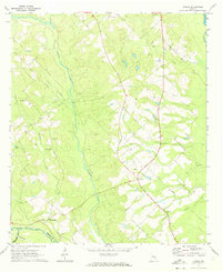 1970 Jordan1973 Print · USGSThe rural landscape of Wheeler County in the early seventies centers on Jordan and its surrounding small farm communities. Genealogists can trace family connections through numerous landmarks like Browning Cem, Pleasant Hill Ch, and Livingston Cem.
 - 1971 Map of Jacksonville NE, 1974 Print
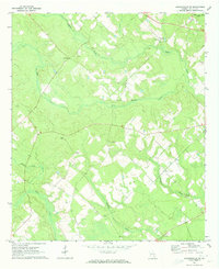 1971 Jacksonville NE1974 Print · USGSThe rural landscape of Telfair County comes into focus in the early 1970s, showing a community centered on agricultural land and country churches. Genealogists can trace family names at Silver Cem or locate historic meeting houses like Dodge Chapel and Mims Ch.2 unique versions available
 - 1971 Map of Lumber City, 1974 Print
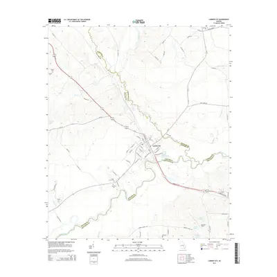
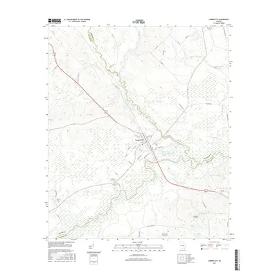
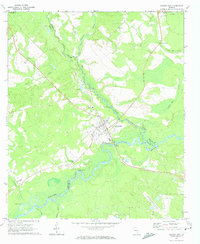 1971 Lumber City1974 Print · USGSLumber City during the early seventies serves as a vital river-and-rail hub where the Southern Railway meets the Ocmulgee River. Genealogists and local historians can trace family locations through McArthur Cem, Ocmulgee Academy, and Walkers Camp.2 unique versions available
 - 1979 Map of Vidalia, 1980 Print
 1979 Vidalia1980 Print · USGSSoutheast Georgia in the late 1970s is a landscape of river-bend settlements and crossing rail lines. Researchers can trace family roots and land patterns through several towns like Vidalia, Soperton, and Mount Vernon, or locate regional landmarks like the State Prison.2 unique versions available
 - 1979 Map of Hazlehurst, 1980 Print
 1979 Hazlehurst1980 Print · USGSSoutheast Georgia in the late seventies is defined by the convergence of major rail lines and river basins in Jeff Davis and Appling counties. Genealogists and local historians can trace the development of Hazlehurst and Baxley alongside features like the Pine Grove Pipeline and the Altamaha River wetlands.
 - 1988 Map of Waycross
 1988 Waycross1988 Print · USGSSouth Georgia's wiregrass and timber country is documented here in the late eighties, centered on the vital rail junction of Waycross. Genealogists and historians can trace the rural landscape from Okefenokee up to the Ocmulgee, finding sites like Lumber City and Jefferson Davis Memorial State Park.
 - 1988 Map of Macon, 1989 Print
 1988 Macon1989 Print · USGSCentral Georgia is captured during the late eighties, showing the expansive river systems and growing urban hubs of the regional interior. Genealogists and historians can trace the paths of the Central of Georgia Railroad and locate communities like Warner Robbins, Dublin, and Sandersville.
 - 2011 Map of Scotland, 2011 Print
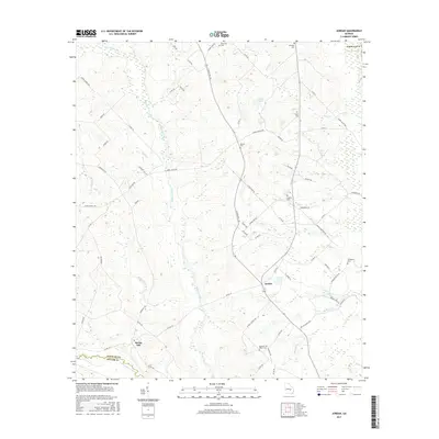
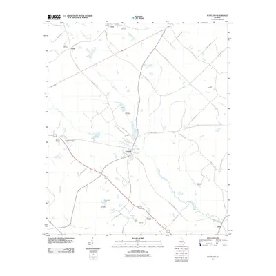 2011 Scotland2011 Print · USGSCovers Towns, including McRae–Helena, Scotland, and other nearby areas
 - 2011 Map of Jordan, 2011 Print
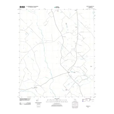 2011 Jordan2011 Print · USGSCovers Towns, including Jordan, Spring Hill, and other nearby areas
 - 2011 Map of Jacksonville NE, 2011 Print
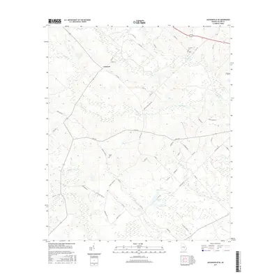
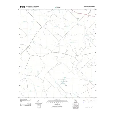 2011 Jacksonville NE2011 Print · USGSCovers Towns, including Cedarpark, Telfair County, and other nearby areas
 - 2011 Map of Lumber City, 2011 Print
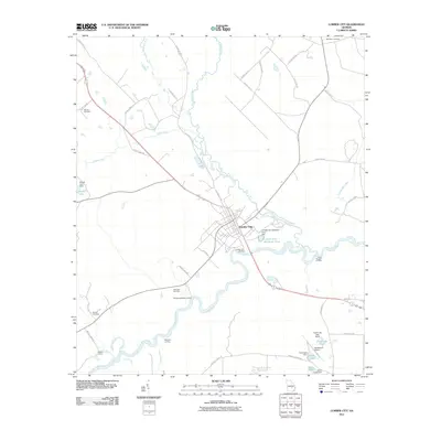 2011 Lumber City2011 Print · USGSCovers Towns, including Lumber City, Telfair County, and other nearby areas
 - 2014 Map of Jacksonville NE, 2014 Print
 2014 Jacksonville NE2014 Print · USGSCovers Towns, including Cedarpark, Telfair County, and other nearby areas
 - 2014 Map of Jordan, 2014 Print
 2014 Jordan2014 Print · USGSCovers Towns, including Jordan, Spring Hill, and other nearby areas
 - 2014 Map of Scotland, 2014 Print
 2014 Scotland2014 Print · USGSCovers Towns, including McRae–Helena, Scotland, and other nearby areas
 - 2014 Map of Lumber City, 2014 Print
 2014 Lumber City2014 Print · USGSCovers Towns, including Lumber City, Telfair County, and other nearby areas
 - 2017 Map of Scotland, 2017 Print
 2017 Scotland2017 Print · USGSCovers Towns, including McRae–Helena, Scotland, and other nearby areas
 - 2017 Map of Jordan, 2017 Print
 2017 Jordan2017 Print · USGSCovers Towns, including Jordan, Spring Hill, and other nearby areas
 - 2017 Map of Lumber City, 2017 Print
 2017 Lumber City2017 Print · USGSCovers Towns, including Lumber City, Telfair County, and other nearby areas
 - 2017 Map of Jacksonville NE, 2017 Print
 2017 Jacksonville NE2017 Print · USGSCovers Towns, including Cedarpark, Telfair County, and other nearby areas
Showing maps 1-25 of 33
Top cities near Towns
- McRae-Helena historical maps
- McRae–Helena historical maps
- Hazlehurst historical maps
- Alamo historical maps
- Mount Vernon historical maps
- Lumber City historical maps
See more
Frequently asked questions
- What are the different types of historical maps available for Towns?
- What is the oldest map of Towns?
- Where can I purchase historical maps of Towns for my home or office?
- Where can I download high-res historical maps of Towns?
- Are there historical topographic maps available for Towns?
- Is there historical aerial imagery available for Towns?
- Where are historical maps of Towns sourced from?