Old Maps of Five Forks, Georgia for Academic Research
Study the evolution of Five Forks with 11 high-resolution historic maps. Whether you're teaching, researching, or modeling changes in land use, these maps provide essential visual documentation of urban, environmental, and geographic change.
- Analyze long-term change: Track patterns in development, transportation, and natural features.
- Ideal for environmental or urban studies: Support academic projects with primary historical map data.
- Use in the classroom or lab: Educators and researchers rely on these maps to bring historical context to life.
These maps are a powerful tool for teaching, research, and visualizing how Five Forks has changed over the decades.
Five Forks, GA maps
(11)- 1954 Map of Valdosta, 1967 Print
 1954 Valdosta1967 Print · USGSThe South Georgia and North Florida borderlands are captured here in the mid-fifties, showing the deep timber and wetland networks of the coastal plain. Researchers can trace the path of the Atlantic Coast Line through Valdosta or explore the interior of the Okefenokee Swamp.2 unique versions available
 - 1957 Map of Thomasville, 1959 Print
 1957 Thomasville1959 Print · USGSThomas County during the late fifties shows a landscape of growing towns and established rail corridors. Genealogists and historians can trace numerous rural communities and landmarks like Merrillville, the Confederate Bridge, and Bethlehem Cem.
 - 1958 Map of Valdosta
 1958 Valdosta1958 Print · USGSSouth Georgia and North Florida are captured here in the mid-fifties, showing the vast Okefenokee Swamp and the vital timber and rail corridors connecting the two states. Researchers can locate the footprint of Moody Air Force Base, trace the Live Oak Perry and Gulf railroad, or find early community sites like Bakers Mill and Paradise Church.
 - 1959 Map of Valdosta
 1959 Valdosta1959 Print · USGSThe Georgia-Florida borderlands in the mid-fifties reveal a landscape of massive blackwater swamps and emerging military aviation hubs. Genealogists and historians can trace rail-stop towns like Fargo and Stockton or explore the interior reaches of the Okefenokee Swamp and Billys Island.
 - 1977 Map of Patten
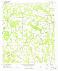 1977 Patten1977 Print · USGSThomas County in the late seventies is a landscape of established rural communities and scattered family homesteads. Researchers can trace local heritage through numerous landmarks like Patten, Mt Calvary Ch Cem, and the Aucilla River.
 - 1981 Map of Valdosta
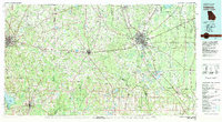 1981 Valdosta1981 Print · USGSCrossing the Georgia and Florida border in the early eighties, this survey captures the agricultural and military landscape of the coastal plain. Genealogists and historians can trace the rail-linked growth of Valdosta and Quitman or find rural landmarks like New Hope Church and Lake Miccosukee.
 - 2011 Map of Patten, 2011 Print
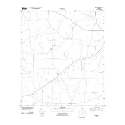 2011 Patten2011 Print · USGSPatten and the surrounding southern Georgia countryside are documented here in the early twenty-first century. Genealogists and local historians can trace family locations through numerous sites like Gandy Cemetery, Kennedy Chapel Cemetery, and Five Forks.
 - 2014 Map of Patten, 2014 Print
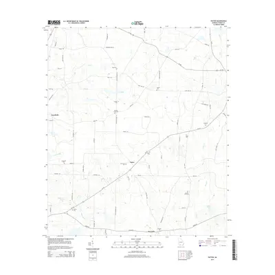 2014 Patten2014 Print · USGSSouthern Georgia's rural landscape comes into focus in this 2010s survey of Thomas County. Genealogists can locate numerous community landmarks and burial sites including Kennedy Chapel Cem, Mt Calvary Cem, and Tyler Lake.
 - 2017 Map of Patten, 2017 Print
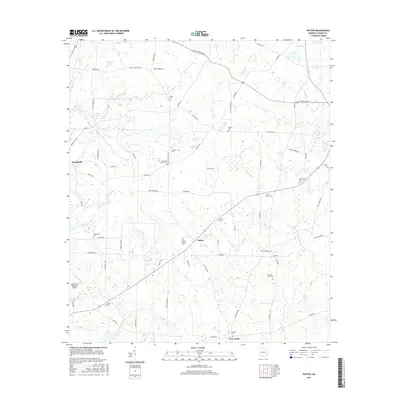 2017 Patten2017 Print · USGSThomas County at the end of the 2010s reveals a deeply rooted rural landscape. Genealogists can trace family footprints through numerous local landmarks like Mount Calvary Cem, Merrillville, and Kennedy Chapel Cem.
 - 2020 Map of Patten, 2020 Print
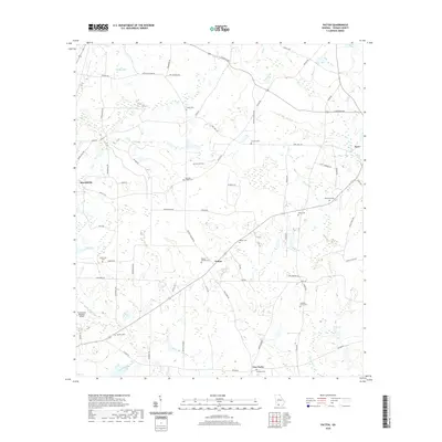 2020 Patten2020 Print · USGSSouthern Georgia's agricultural landscape is documented here in the early twenty-first century, centered on the rural communities of Patten and Merrillville. Genealogists can locate family landmarks such as Gandy Cem, Mount Calvary Cem, and the Aucilla Cem near the riverbanks.
 - 2024 Map of Patten, 2024 Print
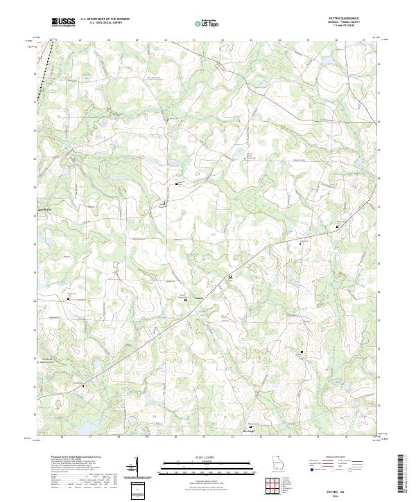 2024 Patten2024 Print · USGSThomas County, Georgia, at the present day is a landscape of rural crossroads and established family histories. Genealogists can trace local heritage through numerous community sites including Antioch Baptist Church Cem, Mount Calvary Cem, and the settlement of Five Forks.
End of results
Showing maps 1-11 of 11
Top cities near Five Forks
- Thomasville historical maps
- Moultrie historical maps
- Quitman historical maps
- Boston historical maps
- Berlin historical maps
- Coolidge historical maps
Frequently asked questions
- What are the different types of historical maps available for Five Forks?
- What is the oldest map of Five Forks?
- Where can I purchase historical maps of Five Forks for my home or office?
- Where can I download high-res historical maps of Five Forks?
- Are there historical topographic maps available for Five Forks?
- Is there historical aerial imagery available for Five Forks?
- Where are historical maps of Five Forks sourced from?