Old Maps of Tifton, Georgia for Hiking & Exploration
Hike through history with 16 historic maps of Tifton. Explore old trails, ghost towns, and forgotten backroads — perfect for outdoor adventurers and local explorers.
- Rediscover forgotten places: Map out old mining camps, roads, and footpaths that no longer exist on modern maps.
- Layer with modern tools: Combine with LiDAR or satellite views to plan hikes through historical terrain.
- Made for exploration: Popular among hikers, overlanders, and local history lovers.
Use these maps to find adventure and explore the hidden past of Tifton.
Tifton, GA maps
(16)- 1953 Map of Waycross, 1967 Print
 1953 Waycross1967 Print · USGSSouth Georgia's agricultural and rail heartland is captured here in the mid-1950s, showing a vast network of timber and farming towns. Researchers can trace the rail lines connecting Waycross and Tifton or locate landmarks like Jefferson Davis State Park and Lake Blackshear.2 unique versions available
 - 1958 Map of Waycross
 1958 Waycross1958 Print · USGSSoutheast Georgia in the late fifties remains a landscape of deep river basins and vital rail junctions. Genealogists and historians can trace family-named landmarks and rural hubs like Union Church, South Georgia College, and the sprawling Okefenokee Swamp.2 unique versions available
 - 1973 Map of Tifton East, 1976 Print
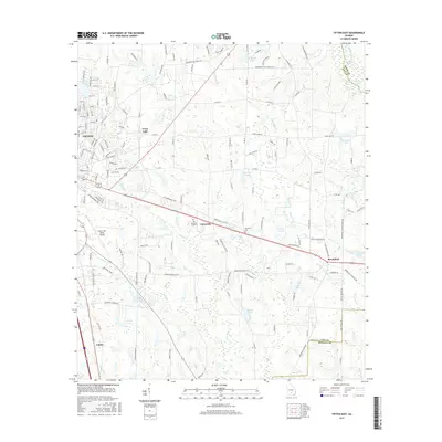
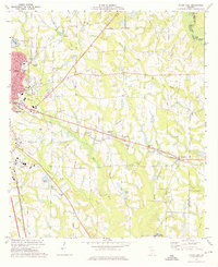 1973 Tifton East1976 Print · USGSThe Tifton area in the early seventies shows a growing Georgia community where vital rail lines like the Seaboard Coast Line meet rural agriculture. Local historians can trace established landmarks including Vanceville, Corinth Ch, and the Henry Tift Myers Airport.2 unique versions available
 - 1973 Map of Tifton West, 1976 Print
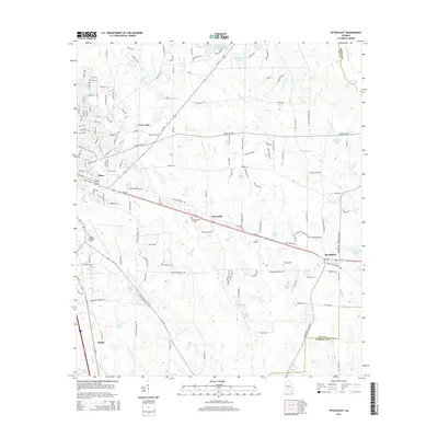
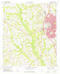 1973 Tifton West1976 Print · USGSTifton and its surrounding South Georgia countryside are captured here in the early 1970s as the city expanded westward toward the Little River. Researchers can trace the layout of growing neighborhoods like Phillipsburg and Unionville or locate rural landmarks such as St Mark Ch and the Ty Ty Lookout Tower.2 unique versions available
 - 1979 Map of Moultrie, 1980 Print
 1979 Moultrie1980 Print · USGSSouth Georgia’s agricultural heartland is documented here in the late 1970s, showcasing the intricate rail and river networks of Colquitt and Tift Counties. Researchers can trace historic settlements along the Georgia Northern railroad or locate landmarks like Spence Air Force Auxiliary Field and Banks Lake.2 unique versions available
 - 1988 Map of Waycross
 1988 Waycross1988 Print · USGSSouth Georgia's wiregrass and timber country is documented here in the late eighties, centered on the vital rail junction of Waycross. Genealogists and historians can trace the rural landscape from Okefenokee up to the Ocmulgee, finding sites like Lumber City and Jefferson Davis Memorial State Park.
 - 2011 Map of Tifton East, 2011 Print
 2011 Tifton East2011 Print · USGSCovers Tifton, including Brookfield, Ferry Lake, and other nearby areas
 - 2011 Map of Tifton West, 2011 Print
 2011 Tifton West2011 Print · USGSCovers Tifton, including Hillsdale, Unionville, and other nearby areas
 - 2014 Map of Tifton East, 2014 Print
 2014 Tifton East2014 Print · USGSCovers Tifton, including Brookfield, Ferry Lake, and other nearby areas
 - 2014 Map of Tifton West, 2014 Print
 2014 Tifton West2014 Print · USGSCovers Tifton, including Hillsdale, Unionville, and other nearby areas
 - 2017 Map of Tifton East, 2017 Print
 2017 Tifton East2017 Print · USGSCovers Tifton, including Brookfield, Ferry Lake, and other nearby areas
 - 2017 Map of Tifton West, 2017 Print
 2017 Tifton West2017 Print · USGSCovers Tifton, including Hillsdale, Unionville, and other nearby areas
 - 2020 Map of Tifton East, 2020 Print
 2020 Tifton East2020 Print · USGSCovers Tifton, including Brookfield, Ferry Lake, and other nearby areas
 - 2020 Map of Tifton West, 2020 Print
 2020 Tifton West2020 Print · USGSCovers Tifton, including Hillsdale, Unionville, and other nearby areas
 - 2024 Map of Tifton East, 2024 Print
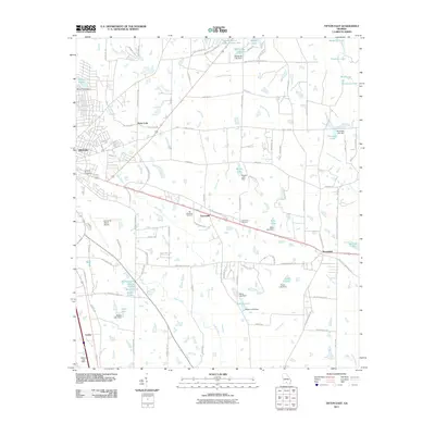
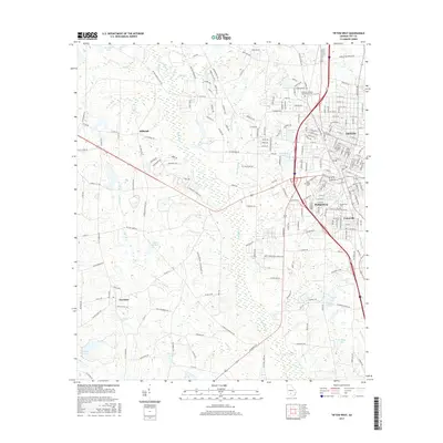
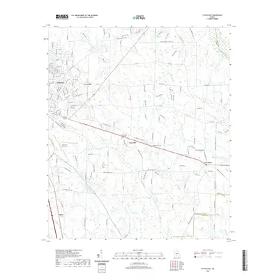
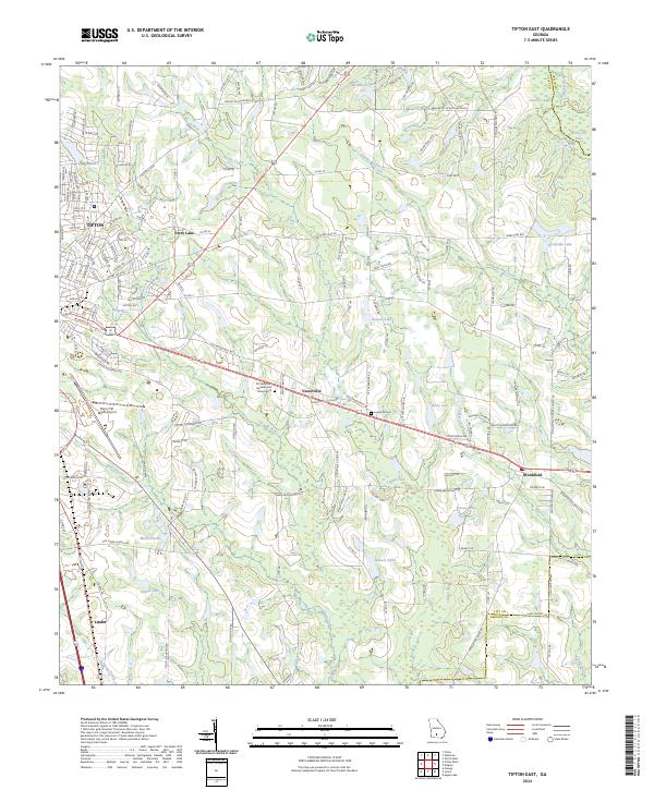 2024 Tifton East2024 Print · USGSTift County is captured here in its contemporary landscape, showing the expansion of TIFTON toward the outlying rural communities. Genealogists and local historians can trace the areas around Vanceville and Brookfield, identifying landmarks like Lawrence Cem and Ferry Lake.
 - 2024 Map of Tifton West, 2024 Print
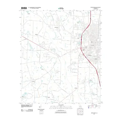
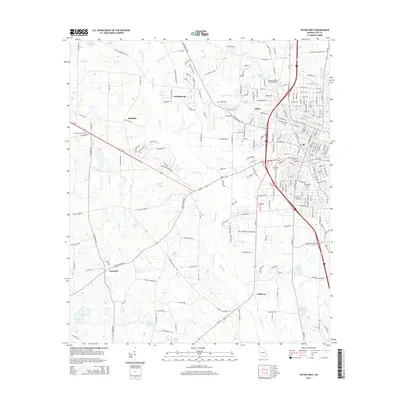
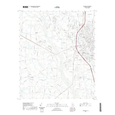
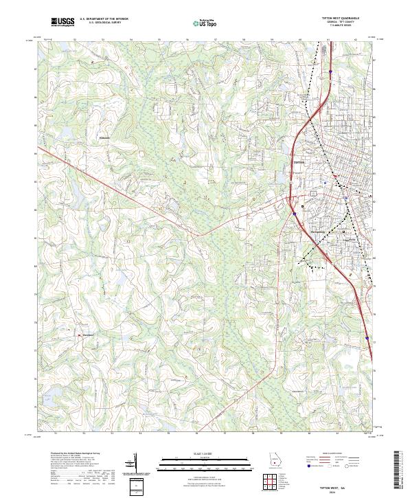 2024 Tifton West2024 Print · USGSThe Tifton area in the twenty-first century remains a vital South Georgia hub where the Abraham Baldwin Agricultural College meets the agricultural heartland. Genealogists and historians can trace the development of Phillipsburg and Unionville or locate family sites near Oak Ridge Cem and the Tift County Courthouse.
End of results
Showing maps 1-16 of 16
Top cities near Tifton
- Enigma historical maps
- Omega historical maps
- Norman Park historical maps
- Lenox historical maps
- Ty Ty historical maps
- Sycamore historical maps
See more
Top neighborhoods of Tifton
Frequently asked questions
- What are the different types of historical maps available for Tifton?
- What is the oldest map of Tifton?
- Where can I purchase historical maps of Tifton for my home or office?
- Where can I download high-res historical maps of Tifton?
- Are there historical topographic maps available for Tifton?
- Is there historical aerial imagery available for Tifton?
- Where are historical maps of Tifton sourced from?