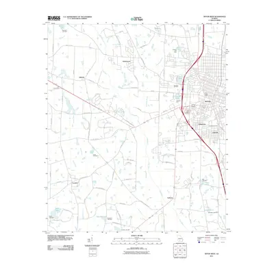
2011 Map of Tifton West
USGS Topo · Published 2011About this map
The western expansion of Tifton dominates the landscape of this Tift County study, where urban development meets the agricultural reaches of south Georgia. The Little River meanders through the central terrain, bordered by numerous private and community water bodies like Marchant Lake and Jones Lake. Key neighborhoods and communities such as Phillipsburg, Unionville, and Hillsdale are clearly delineated, showing the residential patterns adjacent to the growing city core. Significant local landmarks including the Tifton Post Office and the Ty Ty Lookout Tower provide fixed points for historical orientation.
Find a feature on this map
92 named features on this map. Tap any name to fly to it.
Don’t see what you’re looking for? This feature index may not catch every label — zoom into the map to look around manually.
Map Details
Editions of this 2011 Tifton West Map
This is the sole edition of this map. No revisions or reprints were ever made.
Other maps of this area

1953 · Waycross
USGS Topo · 1:250,000

1958 · Waycross
USGS Topo · 1:250,000

1973 · Sumner
USGS Topo · 1:24,000

1973 · Ty Ty
USGS Topo · 1:24,000

1973 · Norman Park
USGS Topo · 1:24,000

1973 · Waterloo
USGS Topo · 1:24,000

1973 · Lenox
USGS Topo · 1:24,000

1973 · Chula
USGS Topo · 1:24,000

1973 · Tifton East
USGS Topo · 1:24,000

1973 · Tifton West
USGS Topo · 1:24,000