
1973 Map of Norman Park
USGS Topo · Published 1975About this map
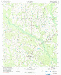
Norman Park serves as the primary hub in this South Georgia landscape, where the town's grid is anchored by Baker Mem Park and local landmarks like St Lukes Ch. The surrounding rural territory is defined by the tri-county meeting point of Worth, Tift, and Colquitt counties. A network of meandering waterways, including Warrior Creek, Ty Ty Creek, and Reedy Creek, carves through the terrain, dictating the placement of early settlements and agricultural lands.
Find a feature on this map
29 named features on this map. Tap any name to fly to it.
Don’t see what you’re looking for? This feature index may not catch every label — zoom into the map to look around manually.
Map Details
Editions of this 1973 Norman Park Map
2 editions found
Other maps of this area

1953 · Waycross
USGS Topo · 1:250,000

1956 · Doerun
USGS Topo · 1:62,500

1958 · Waycross
USGS Topo · 1:250,000

1973 · Ty Ty
USGS Topo · 1:24,000

1973 · Tifton West
USGS Topo · 1:24,000

1973 · Omega
USGS Topo · 1:24,000
1974 · Tempy
USGS Topo · 1:24,000
1974 · Sigsbee
USGS Topo · 1:24,000

1974 · Pineboro
USGS Topo · 1:24,000
1974 · Ellenton
USGS Topo · 1:24,000