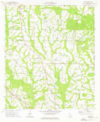
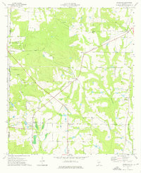
1974 Map of Sigsbee
USGS Topo · Published 1976About this map
Okapilco Creek and the Ochlockonee River define the rural character of this Southwest Georgia landscape, where agricultural clearings are bounded by dense wooded swamp margins. The settlement of Sigsbee and nearby Anderson City serve as local hubs, connected by the Georgia Northern railroad line that cuts diagonally across the southern portion of the quadrangle. This mid-1970s survey reveals a dense network of country churches, including Kimball Ch, Rose of Sharon Ch, and St Pauls Ch, which remain the primary landmarks for local residents and genealogists tracing family history in Colquitt County. The presence of the Minton Sch near Minton and several small family cemeteries across the terrain reflects the enduring residential pattern of these rural communities just prior to late 20th-century consolidation.
Find a feature on this map
26 named features on this map. Tap any name to fly to it.
Don’t see what you’re looking for? This feature index may not catch every label — zoom into the map to look around manually.
Map Details
Editions of this 1974 Sigsbee Map
2 editions found
Other maps of this area

1953 · Waycross
USGS Topo · 1:250,000

1956 · Doerun
USGS Topo · 1:62,500

1958 · Waycross
USGS Topo · 1:250,000

1973 · Ty Ty
USGS Topo · 1:24,000

1973 · Norman Park
USGS Topo · 1:24,000
1974 · Doerun
USGS Topo · 1:24,000
1974 · Tempy
USGS Topo · 1:24,000
1974 · Bridgeboro
USGS Topo · 1:24,000

1974 · Pineboro
USGS Topo · 1:24,000
1974 · Hartsfield
USGS Topo · 1:24,000