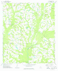
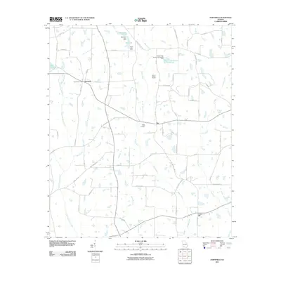
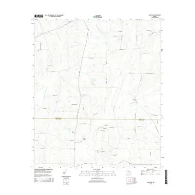
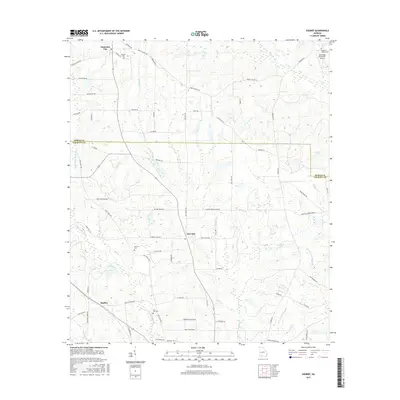
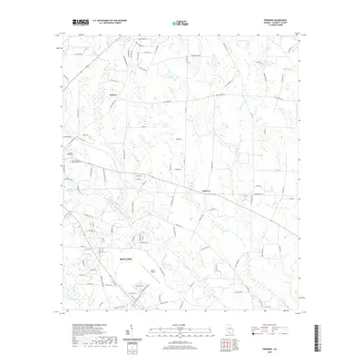
1974 Map of Sigsbee
USGS Topo · Published 1991About this map
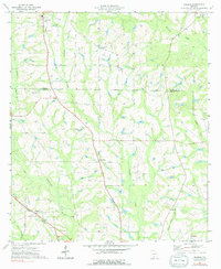
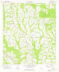
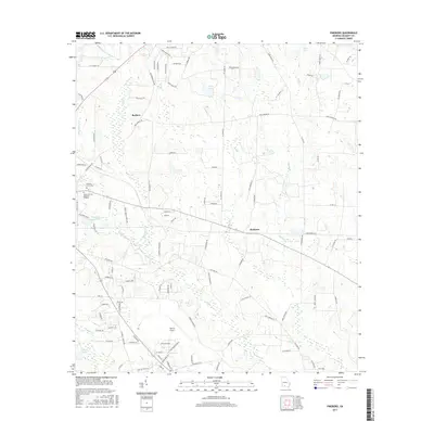
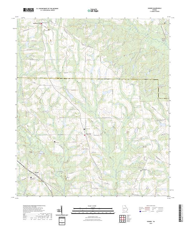
Anderson City and New Elm anchor this agricultural landscape in the mid-1970s, where the rural economy was defined by the Georgia Northern railroad and the winding paths of Okapilco Creek and the Little Ochlockonee River. The map reveals a dense network of country churches and community centers, from Pilco Ch near the center of the sheet to Rose of Sharon Ch and Live Oak Ch further south. These local landmarks, along with the Minton Sch, provide a detailed record of the social geography across the Worth and Colquitt county line.
Find a feature on this map
31 named features on this map. Tap any name to fly to it.
Don’t see what you’re looking for? This feature index may not catch every label — zoom into the map to look around manually.
Map Details
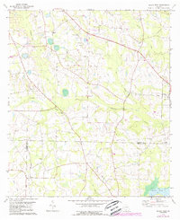
Editions of this 1974 Sigsbee Map
2 editions found
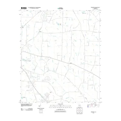
Historical Maps of New Elm Through Time
30 maps found
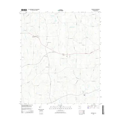
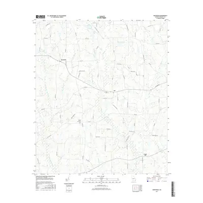
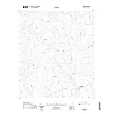
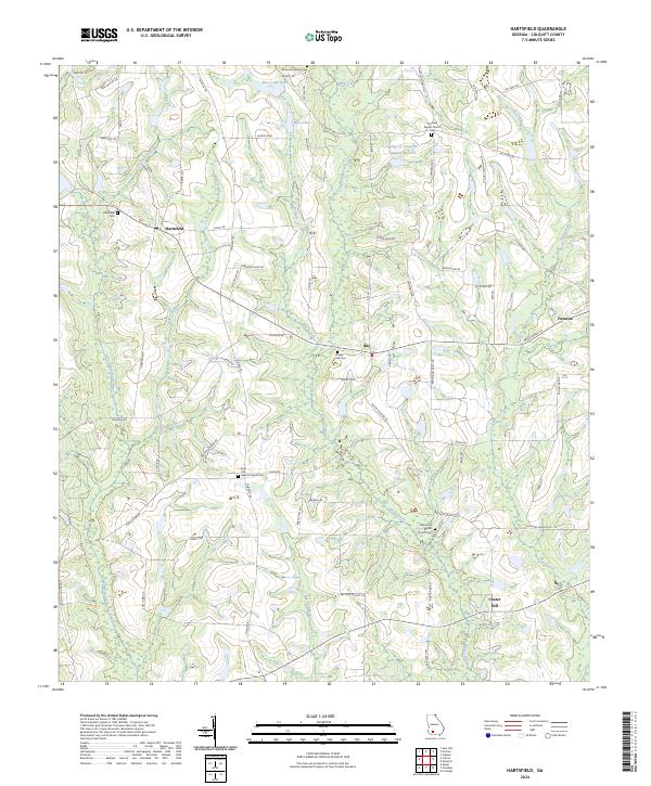
1974 Hartsfield
Colquitt County, GA
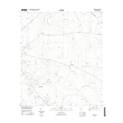
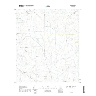
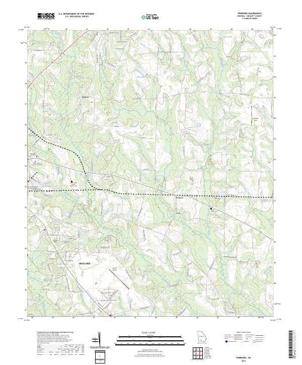
1974 Pineboro
Colquitt County, GA
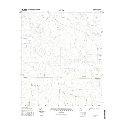
1974 Sigsbee
Colquitt County, GA
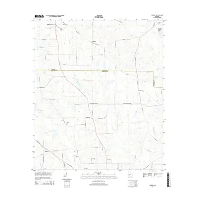
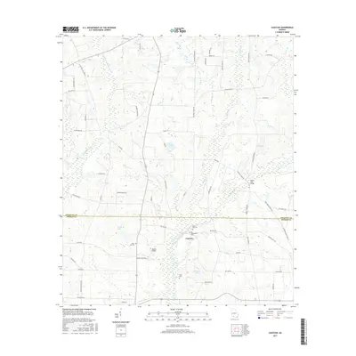
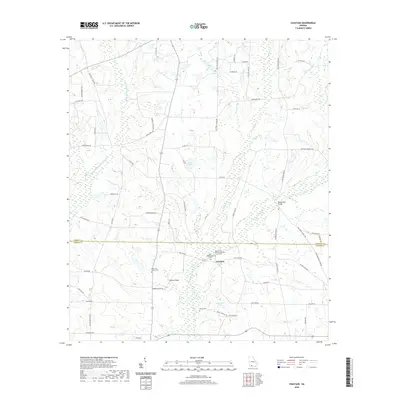
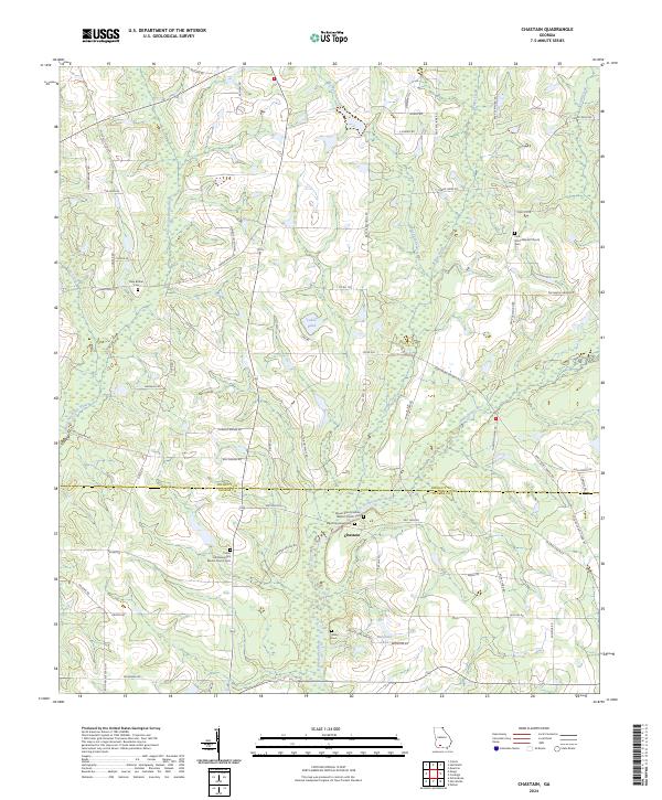
1977 Chastain
Colquitt County, GA
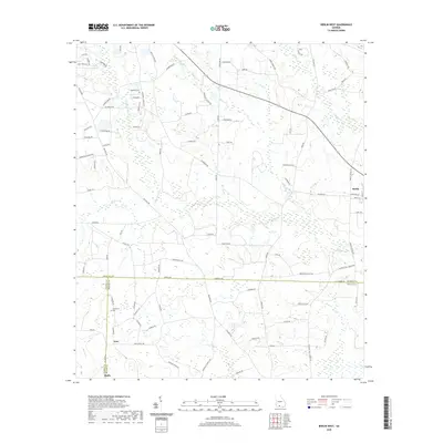
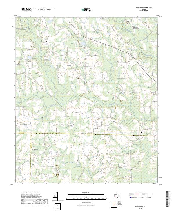
1978 Berlin West
Colquitt County, GA
2011 Berlin West
Colquitt County, GA
2011 Chastain
Colquitt County, GA
2011 Hartsfield
Colquitt County, GA
2011 Pineboro
Colquitt County, GA
2011 Sigsbee
Colquitt County, GA
2014 Berlin West
Colquitt County, GA
2014 Chastain
Colquitt County, GA
2014 Hartsfield
Colquitt County, GA
2014 Pineboro
Colquitt County, GA
2014 Sigsbee
Colquitt County, GA
2017 Berlin West
Colquitt County, GA
2017 Chastain
Colquitt County, GA
2017 Hartsfield
Colquitt County, GA
2017 Pineboro
Colquitt County, GA
2017 Sigsbee
Colquitt County, GA
2020 Berlin West
Colquitt County, GA
2020 Chastain
Colquitt County, GA
2020 Hartsfield
Colquitt County, GA
2020 Pineboro
Colquitt County, GA
2020 Sigsbee
Colquitt County, GA
2024 Berlin West
Colquitt County, GA
2024 Chastain
Colquitt County, GA
2024 Hartsfield
Colquitt County, GA
2024 Pineboro
Colquitt County, GA
2024 Sigsbee
Colquitt County, GA