
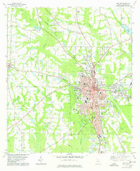
1974 Map of Pineboro
USGS Topo · Published 1977About this map
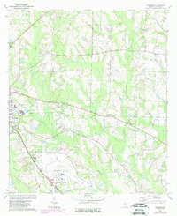
Spence Field dominates the southern landscape of this Colquitt County region, serving as a significant landmark in the rural territory south of Pineboro. The map documents a landscape defined by its creek systems, where Indian Creek, Bear Creek, and Reedy Creek carve through the agricultural and wooded terrain. Settlement patterns are tied closely to the Georgia Northern rail line and an Old Railroad Grade, which once facilitated the movement of goods and people between small rural hubs like Barbers.
Find a feature on this map
24 named features on this map. Tap any name to fly to it.
Don’t see what you’re looking for? This feature index may not catch every label — zoom into the map to look around manually.
Map Details
Editions of this 1974 Pineboro Map
2 editions found
Other maps of this area

1953 · Waycross
USGS Topo · 1:250,000

1956 · Doerun
USGS Topo · 1:62,500

1958 · Waycross
USGS Topo · 1:250,000

1973 · Norman Park
USGS Topo · 1:24,000

1973 · Omega
USGS Topo · 1:24,000

1974 · Berlin East
USGS Topo · 1:24,000
1974 · Sigsbee
USGS Topo · 1:24,000
1974 · Ellenton
USGS Topo · 1:24,000
1978 · Coolidge
USGS Topo · 1:24,000
1978 · Moultrie
USGS Topo · 1:24,000