
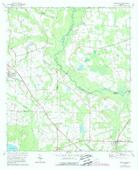
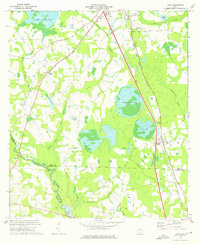
1974 Map of Berlin East
USGS Topo · Published 1976About this map
The Little River meanders along the county lines in this rural stretch of South Georgia, serving as a natural boundary between Colquitt, Cook, and Brooks counties. The landscape is defined by its agricultural and spiritual centers, with numerous country churches like China Grove Ch, Trinity Ch, and Hempstead Ch serving as focal points for the surrounding farmsteads. The settlement of Berlin sits on the western edge, while Barney and New Rock Hill anchor the southern reaches of the map near the edge of the coastal plain.
Find a feature on this map
26 named features on this map. Tap any name to fly to it.
Don’t see what you’re looking for? This feature index may not catch every label — zoom into the map to look around manually.
Map Details
Editions of this 1974 Berlin East Map
2 editions found
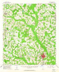
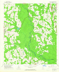
Other maps of this area

1953 · Waycross
USGS Topo · 1:250,000

1954 · Valdosta
USGS Topo · 1:250,000

1958 · Valdosta
USGS Topo · 1:250,000

1958 · Waycross
USGS Topo · 1:250,000

1959 · Valdosta
USGS Topo · 1:250,000
1961 · Quitman
USGS Topo · 1:62,500
1961 · Hahira West
USGS Topo · 1:24,000
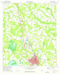
1973 · Adel
USGS Topo · 1:24,000
1973 · Cecil
USGS Topo · 1:24,000
1974 · Pineboro
USGS Topo · 1:24,000