2000s (21st Century) Maps of Towns County, Georgia
Explore 30 historic maps of Towns County from the 2000s (21st Century). These maps offer a rare glimpse into what life looked like during the 2000s — showing old roads, neighborhoods, homes, and landmarks that have changed or disappeared over time.
Whether you're researching your family's past, planning a metal detecting trip, or studying how Towns County's landscape evolved across the 2000s, these high-resolution maps are a powerful tool for exploring the history of this region.
- Focus on a specific era: All maps on this page are from the 2000s, giving you a focused view of this time period.
- See what’s changed: Compare century-old streets, trails, and buildings to today's modern landscape using overlays and satellite layers.
- Research with precision: Use these maps for genealogy, historical research, land use analysis, or educational projects.
- View, download, or print: Maps are fully viewable online in high resolution, and can be downloaded or printed for your own records.
Start exploring Towns County's history through authentic maps from the 2000s. This is your window into the past.
Towns County, GA maps
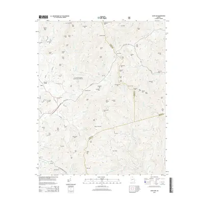
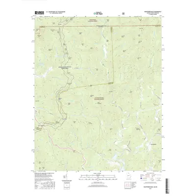
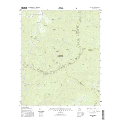
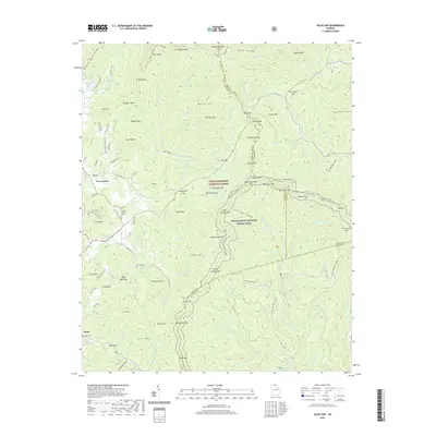
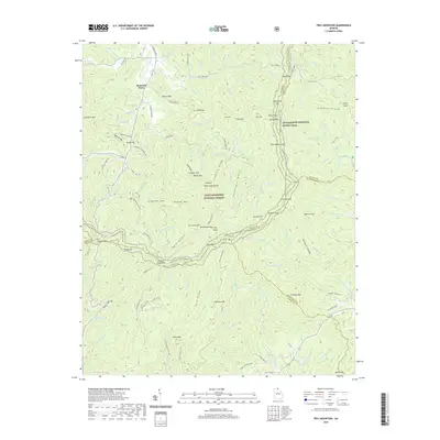
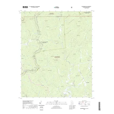
(30)- 2011 Map of Hightower Bald, 2011 Print
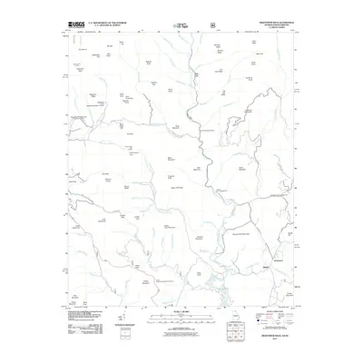 2011 Hightower Bald2011 Print · USGSCovers Towns County, including Tate City, Blalock, and other nearby areas
 - 2011 Map of Tray Mountain, 2011 Print
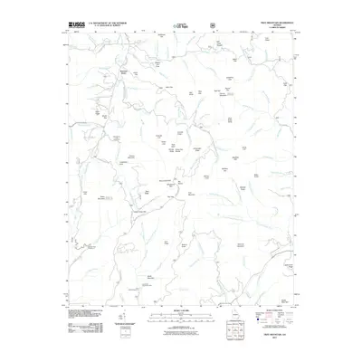 2011 Tray Mountain2011 Print · USGSCovers Towns County, including Mountain Scene, Habersham County, and other nearby areas
 - 2011 Map of Hiawassee, 2011 Print
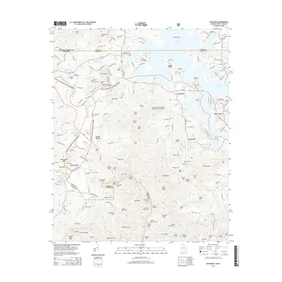
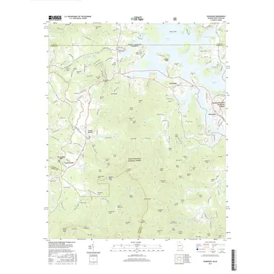
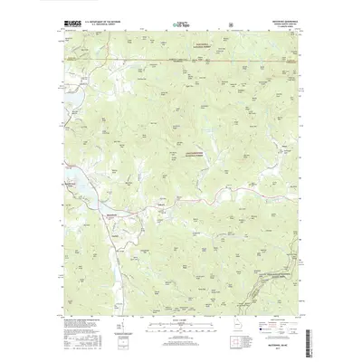
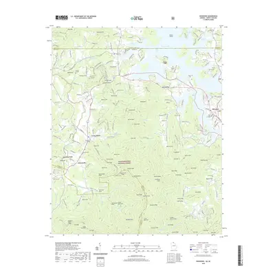
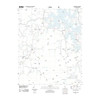 2011 Hiawassee2011 Print · USGSCovers Towns County, including Hiawassee, Young Harris, and other nearby areas
 - 2011 Map of Jacks Gap, 2011 Print
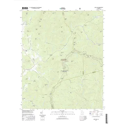
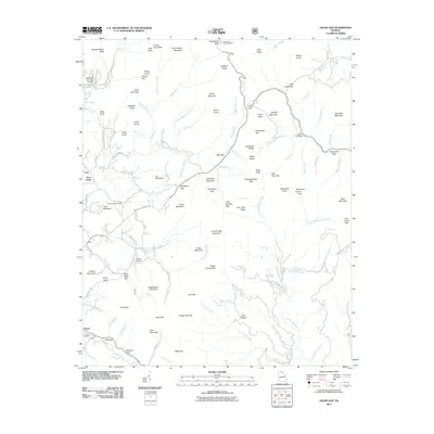 2011 Jacks Gap2011 Print · USGSCovers Towns County, including Fain, Hood, and other nearby areas
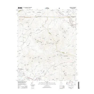
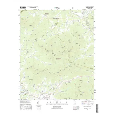
 - 2011 Map of Blairsville, 2011 Print
 2011 Blairsville2011 Print · USGSCovers Towns County, including Blairsville, Gumlog, and other nearby areas
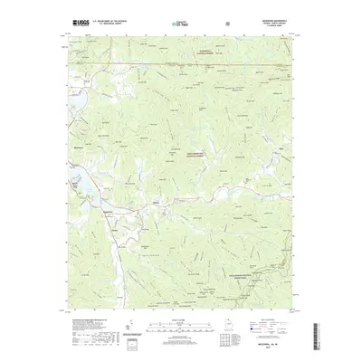
 - 2011 Map of Macedonia, 2011 Print
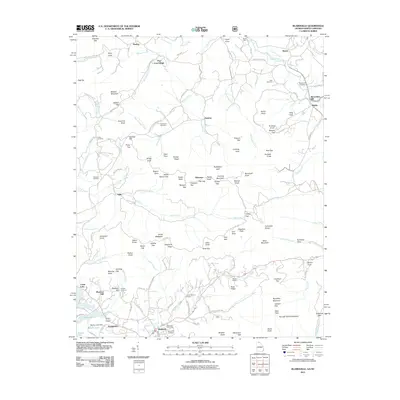
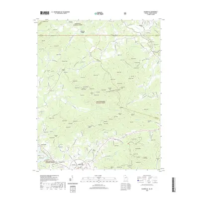
 2011 Macedonia2011 Print · USGSCovers Towns County, including Hiawassee, Beech Cove Vista, and other nearby areas
 - 2014 Map of Tray Mountain, 2014 Print
 2014 Tray Mountain2014 Print · USGSCovers Towns County, including Mountain Scene, Habersham County, and other nearby areas
 - 2014 Map of Hiawassee, 2014 Print
 2014 Hiawassee2014 Print · USGSCovers Towns County, including Hiawassee, Young Harris, and other nearby areas
 - 2014 Map of Blairsville, 2014 Print
 2014 Blairsville2014 Print · USGSCovers Towns County, including Blairsville, Gumlog, and other nearby areas
 - 2014 Map of Jacks Gap, 2014 Print
 2014 Jacks Gap2014 Print · USGSCovers Towns County, including Fain, Hood, and other nearby areas
 - 2014 Map of Hightower Bald, 2014 Print
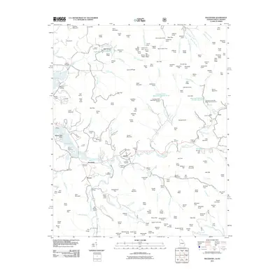
 2014 Hightower Bald2014 Print · USGSCovers Towns County, including Tate City, Blalock, and other nearby areas
 - 2014 Map of Macedonia, 2014 Print
 2014 Macedonia2014 Print · USGSCovers Towns County, including Hiawassee, Beech Cove Vista, and other nearby areas
 - 2017 Map of Hiawassee, 2017 Print
 2017 Hiawassee2017 Print · USGSCovers Towns County, including Hiawassee, Young Harris, and other nearby areas
 - 2017 Map of Hightower Bald, 2017 Print
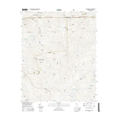
 2017 Hightower Bald2017 Print · USGSCovers Towns County, including Tate City, Blalock, and other nearby areas
 - 2017 Map of Macedonia, 2017 Print
 2017 Macedonia2017 Print · USGSCovers Towns County, including Hiawassee, Beech Cove Vista, and other nearby areas
 - 2017 Map of Jacks Gap, 2017 Print
 2017 Jacks Gap2017 Print · USGSCovers Towns County, including Fain, Hood, and other nearby areas
 - 2017 Map of Tray Mountain, 2017 Print
 2017 Tray Mountain2017 Print · USGSCovers Towns County, including Mountain Scene, Habersham County, and other nearby areas
 - 2017 Map of Blairsville, 2017 Print
 2017 Blairsville2017 Print · USGSCovers Towns County, including Blairsville, Gumlog, and other nearby areas
 - 2020 Map of Macedonia, 2020 Print
 2020 Macedonia2020 Print · USGSCovers Towns County, including Hiawassee, Beech Cove Vista, and other nearby areas
 - 2020 Map of Jacks Gap, 2020 Print
 2020 Jacks Gap2020 Print · USGSCovers Towns County, including Fain, Hood, and other nearby areas
 - 2020 Map of Tray Mountain, 2020 Print
 2020 Tray Mountain2020 Print · USGSCovers Towns County, including Mountain Scene, Habersham County, and other nearby areas
 - 2020 Map of Hiawassee, 2020 Print
 2020 Hiawassee2020 Print · USGSCovers Towns County, including Hiawassee, Young Harris, and other nearby areas
 - 2020 Map of Blairsville, 2020 Print
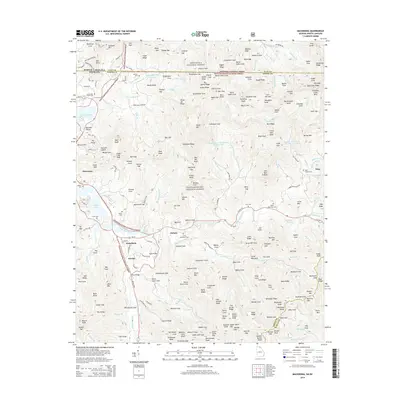
 2020 Blairsville2020 Print · USGSCovers Towns County, including Blairsville, Gumlog, and other nearby areas
 - 2020 Map of Hightower Bald, 2020 Print
 2020 Hightower Bald2020 Print · USGSCovers Towns County, including Tate City, Blalock, and other nearby areas
 - 2024 Map of Tray Mountain, 2024 Print
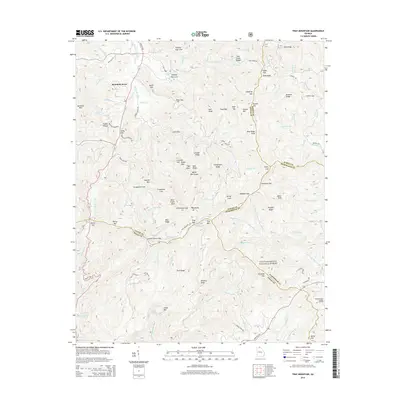
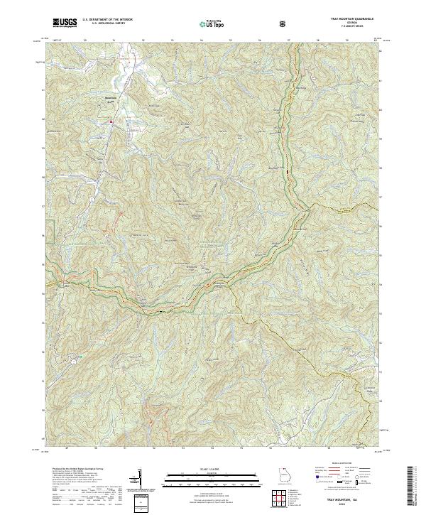 2024 Tray Mountain2024 Print · USGSThe Blue Ridge high country is captured here in the 2020s, showing the intersection of four Georgia counties and major wilderness areas. Trace the Appalachian National Scenic Trail past Anna Ruby Falls and the high settlement at Mountain Scene.
Showing maps 1-25 of 30
Top cities of Towns County
Frequently asked questions
- What are the different types of historical maps available for Towns County?
- What is the oldest map of Towns County?
- Where can I purchase historical maps of Towns County for my home or office?
- Where can I download high-res historical maps of Towns County?
- Are there historical topographic maps available for Towns County?
- Is there historical aerial imagery available for Towns County?
- Where are historical maps of Towns County sourced from?