Old Maps of Towns County, Georgia for Metal Detecting
Plan your next treasure hunt with 63 historic maps of Towns County. Find old homesites, ghost towns, trails, and gathering spots that may be lost to time — perfect for identifying promising metal detecting locations.
- Locate forgotten sites: Uncover places like long-lost settlements, abandoned rail lines, or gathering spots.
- Plan better hunts: Use map overlays combined with LiDAR or satellite views to narrow in on historically rich areas.
- Made for detectorists: Thousands of hobbyists use these maps to discover relics, coins, and hidden history.
Use these historic maps to boost your research and find new opportunities beneath the surface of Towns County.
Towns County, GA maps
(63)- 1886 Map of Dahlonega
 1886 Dahlonega1886 Print · USGSThe North Georgia mountains in the mid-1880s reveal a landscape of mining camps and early settlements before the modern era. Genealogists and historians can trace family-named landmarks like Helton's Field and Osbornes, or locate the Findley Mine and the Indian Mound.
 - 1892 Map of Dahlonega
 1892 Dahlonega1892 Print · USGSThe North Georgia mountains come alive in the late nineteenth century, showing the rugged terrain around the mining hub of Dahlonega. Genealogists and historians can trace family-named sites like Osbornes, find the elusive Gold Mine, and locate the Indian Mound.2 unique versions available
 - 1896 Map of Dahlonega
 1896 Dahlonega1896 Print · USGSThe Blue Ridge and North Georgia gold belt are shown here in the 1890s, when mining and mountain gaps defined local travel. Genealogists can trace family roots in Dahlonega, Porter Springs, and the Findley Mine or locate early settlements like Nacoochee.
 - 1903 Map of Dahlonega
 1903 Dahlonega1903 Print · USGSNorth Georgia and the Blue Ridge were defined by mountain settlements and early industry at the turn of the century. Genealogists and historians can trace family locations across the Nacoochee Valley, locate the Asbestos Mines, or find old sites like Loudsville and Porter Springs.5 unique versions available
 - 1935 Map of Osborn
 1935 Osborn1935 Print · USGSTowns County, Georgia, is documented here in the mid-1930s before the full expansion of the Tennessee Valley Authority’s projects. Local historians can trace family locations and rural community hubs like Osborn, Macedonia Ch, and Upper Bell Sch.
 - 1935 Map of Hightower Bald
 1935 Hightower Bald1935 Print · USGSThe Georgia and North Carolina high country is captured here in the mid-1930s, showing the ridge-top border and the early Appalachian Trail. Genealogists and hikers can locate the Pleasant Hill School and the settlement of Hightower along the banks of Big Creek.
 - 1935 Map of Tray Mountain
 1935 Tray Mountain1935 Print · USGSTowns County and the high Blue Ridge ridges are shown here in the mid-1930s during a period of significant New Deal infrastructure development. You can locate CCC Camp No F 15, trace the Appalachian National Trail, and find remote points like Mountain Scene.
 - 1935 Map of Gumlog
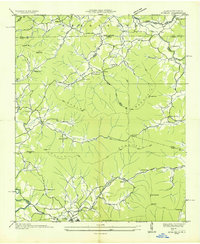 1935 Gumlog1935 Print · USGSUpper Georgia and North Carolina meet in this mid-1930s landscape, where mountain gaps and creek valleys dictate the layout of rural life. Researchers can trace the heritage of remote settlements like Gumlog and find local landmarks such as Ownby Mill and Zebulon Ch.
 - 1935 Map of Jacks Gap
 1935 Jacks Gap1935 Print · USGSThe high ridges of Union and Towns counties are captured here in the mid-1930s just as the Appalachian Trail was being established through the Cherokee National Forest. Researchers can locate vanished rural landmarks like Town Creek Sch and Old Liberty Ch tucked between Brasstown Bald Mtn and the Nottely River.
 - 1935 Map of Hiawassee
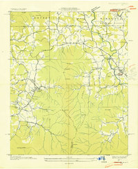 1935 Hiawassee1935 Print · USGSThe Georgia-North Carolina border country comes alive in the mid-1930s, showing the early infrastructure of the Appalachian highlands. You can trace family history through sites like Young Harris, Townsend Mill, and the Lower Bell Creek School.
 - 1938 Map of Jacks Gap
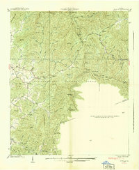 1938 Jacks Gap1938 Print · USGSThe high peaks of the Blue Ridge Mountains are captured in the late 1930s, centered on the summit of Brasstown Bald. Genealogists and hikers can trace early routes like the Appalachian Trail or locate the Old Liberty Ch and the settlement of Hood.
 - 1938 Map of Tray Mountain
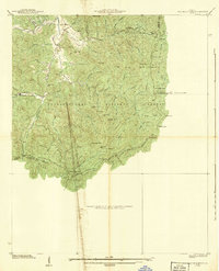 1938 Tray Mountain1938 Print · USGSThe Georgia mountains in the late Depression era show a landscape of federal forest land and early conservation efforts. You can trace the original route of the Appalachian Trail past Mountain Scene and the historic CCC Camp No F-15.3 unique versions available
 - 1941 Map of Osborn
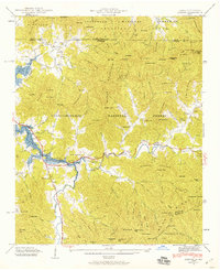 1941 Osborn1941 Print · USGSTowns County, Georgia, and Clay County, North Carolina, appear here during the creation of the Hiwassee River reservoir system. Genealogists and hikers can trace the Appalachian Trail through the mountains or find local landmarks like Osborn, Ivy Mount Cem, and Lower Hightower Sch.2 unique versions available
 - 1941 Map of Hiawassee
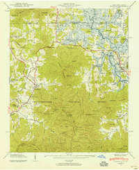 1941 Hiawassee1941 Print · USGSThe Georgia-North Carolina borderlands appear here in the early 1940s, just as the landscape was being reshaped by the Chatuge Lake reservoir. Researchers can trace ancestral locations at Wood Grove Cem, Ledford Chapel, and the now-submerged areas near Friendship.2 unique versions available
 - 1941 Map of Gumlog, 1960 Print
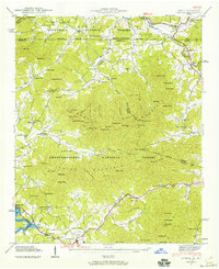 1941 Gumlog1960 Print · USGSThe mountain valleys of Union County appear here just as the landscape was changing with the creation of Nottely Lake. Genealogists and local historians can trace family-named sites like Many Forks Ch, Owenby Mill, and the Pleasant Hill Cem.2 unique versions available
 - 1942 Map of Hiawassee
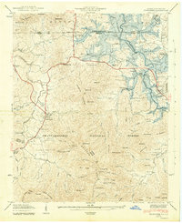 1942 Hiawassee1942 Print · USGSTowns County and the North Carolina borderlands are captured during the 1940s transformation of the river valley. Genealogists and historians can locate family landmarks like Townsend Mill, Wood Grove Cem, and Lower Bell Creek Sch as the Chatuge Reservoir began to form.2 unique versions available
 - 1942 Map of Gumlog
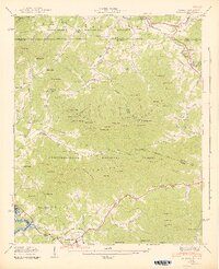 1942 Gumlog1942 Print · USGSThe Georgia and North Carolina borderlands are caught in detail during the early 1940s as the Nottely River valley began its transformation. Genealogists and local historians can trace family roots through Smyrna Sch, Caldwell Cem, and the milling history at Owenby Mill.2 unique versions available
 - 1943 Map of Osborn
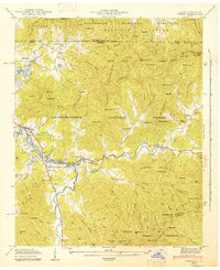 1943 Osborn1943 Print · USGSTowns County, Georgia, and Clay County, North Carolina, appear here during the early years of the Chatuge Reservoir. Genealogists can locate family landmarks like Garrett Cem, Upper Bell Sch, and the small settlement of Osborn along Hightower Creek.
 - 1946 Map of Hightower Bald, 1956 Print
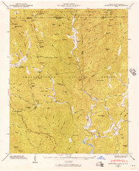 1946 Hightower Bald1956 Print · USGSThe Georgia and North Carolina high country is captured here in the mid-1940s as the regional landscape was being shaped by new national forest boundaries and reservoir projects. Researchers can trace the original route of the Appalachian Trail past Tate City Sch and the remote Plumorchard Ch.4 unique versions available
 - 1947 Map of Hightower Bald
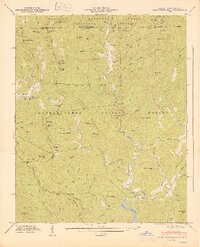 1947 Hightower Bald1947 Print · USGSThe Blue Ridge mountains at the Georgia-North Carolina border are captured here in the late 1940s as rural life centered on remote river valleys. You can locate family-named landmarks and mountain schools such as Tate City Sch, Plumorchard Ch, and the high-elevation Appalachian Trail.2 unique versions available
 - 1954 Map of Greenville, 1965 Print
 1954 Greenville1965 Print · USGSThe Upstate and Northeast Georgia are captured here during a decade of massive transformation as new reservoirs reshaped the Piedmont. Genealogists and hikers can trace the Appalachian Trail over Brasstown Bald or locate old community centers like Demorest, Westminster, and Royston.3 unique versions available
 - 1957 Map of Jacks Gap, 1960 Print
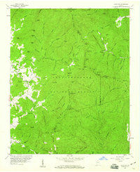 1957 Jacks Gap1960 Print · USGSThe North Georgia highlands come to life in the late fifties as the Appalachian Trail winds through these mountains. Trace local heritage at Town Creek Sch or follow the historic Unicoi Turnpike and the waters of the Nottely River.4 unique versions available
 - 1957 Map of Tray Mountain, 1960 Print
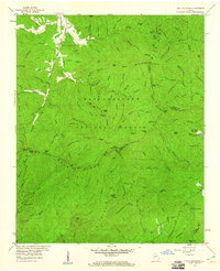 1957 Tray Mountain1960 Print · USGSThe High Blue Ridge of Georgia is captured here in the late fifties as a network of gaps and forest trails. Genealogists and hikers can trace the original path of the Appalachian Trail through Tray Mountain and locate early sites like Mountain Scene and the High Valley Boys Club.4 unique versions available
 - 1958 Map of Greenville
 1958 Greenville1958 Print · USGSThe Piedmont and Blue Ridge foothills come alive in this mid-century survey of the Upstate and Northeast Georgia. Trace the regional rail-and-river economy through the Southern Railway corridors and early reservoir developments like Lake Sidney Lanier.
 - 1966 Map of Blairsville, 1968 Print
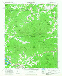 1966 Blairsville1968 Print · USGSThe Georgia-North Carolina border country comes into focus in the 1960s, centered on the growing mountain community of Blairsville. Genealogists and historians can trace local landmarks like Pine Log Village, Scrougetown, and Bethlehem Ch.2 unique versions available
Showing maps 1-25 of 63
Top cities of Towns County
Frequently asked questions
- What are the different types of historical maps available for Towns County?
- What is the oldest map of Towns County?
- Where can I purchase historical maps of Towns County for my home or office?
- Where can I download high-res historical maps of Towns County?
- Are there historical topographic maps available for Towns County?
- Is there historical aerial imagery available for Towns County?
- Where are historical maps of Towns County sourced from?