1900s (20th Century) Maps of Upson County, Georgia
Explore 26 historic maps of Upson County from the 1900s (20th Century). These maps offer a rare glimpse into what life looked like during the 1900s — showing old roads, neighborhoods, homes, and landmarks that have changed or disappeared over time.
Whether you're researching your family's past, planning a metal detecting trip, or studying how Upson County's landscape evolved across the 1900s, these high-resolution maps are a powerful tool for exploring the history of this region.
- Focus on a specific era: All maps on this page are from the 1900s, giving you a focused view of this time period.
- See what’s changed: Compare century-old streets, trails, and buildings to today's modern landscape using overlays and satellite layers.
- Research with precision: Use these maps for genealogy, historical research, land use analysis, or educational projects.
- View, download, or print: Maps are fully viewable online in high resolution, and can be downloaded or printed for your own records.
Start exploring Upson County's history through authentic maps from the 1900s. This is your window into the past.
Upson County, GA maps
(26)- 1907 Map of Talbotton
 1907 Talbotton1907 Print · USGSWest-central Georgia at the turn of the century is a landscape of ridges and rail-lines, dominated by the thermal waters of Warm Springs. Local historians can trace the foundations of Talbotton and rural life at Turntime Crossroads, Cataula Camp Ground, and Greens Mill.3 unique versions available
 - 1934 Map of Warm Springs, 1958 Print
 1934 Warm Springs1958 Print · USGSWest-central Georgia at the height of the New Deal era reveals a landscape of therapeutic springs, mountain gaps, and busy rail junctions. Genealogists and historians can locate family landmarks like Williams Chapel, the Warm Springs Foundation, and Chalybeate Springs along the rugged Pine Mountain ridge.7 unique versions available
 - 1935 Map of Thomaston
 1935 Thomaston1935 Print · USGSIn the mid-1930s, the industrial corridor around THOMASTON and Silvertown anchored this Georgia landscape. Genealogists and historians can trace the river's influence through several decommissioned crossings like Du Bignon Ferry and family hubs like McCrary Settlement.
 - 1936 Map of Warm Springs
 1936 Warm Springs1936 Print · USGSWest-central Georgia at the height of the New Deal era centers on the therapeutic and institutional development of Warm Springs. Researchers can trace the rail-and-road network connecting Manchester and Woodbury or locate landmarks like the Warm Springs Foundation and Ebenezer Cem.4 unique versions available
 - 1939 Map of Thomaston
 1939 Thomaston1939 Print · USGSUpson County and the industrial town of Thomaston are captured here in the late 1930s, showing a landscape of textile mills and family settlements. Researchers can trace rural life through dozens of local landmarks like Silvertown, Paynes Mill, and the McCrary Settlement.3 unique versions available
 - 1951 Map of Yatesville, 1952 Print
 1951 Yatesville1952 Print · USGSIn the early 1950s, this Georgia landscape was defined by the crossing of the Central of Georgia and Southern railroads. Local researchers can trace family names and small-town life through landmarks like Topeka Junction, Anniebel Sch, and Andrews Chapel.3 unique versions available
 - 1953 Map of Atlanta, 1965 Print
 1953 Atlanta1965 Print · USGSThe growing Atlanta metro and the industrial corridors of Eastern Alabama are captured here during the mid-century transition. Researchers can trace the rail-to-road shift through hubs like Anniston and La Grange or locate sites within Fort McClellan.2 unique versions available
 - 1955 Map of Phenix City, 1964 Print
 1955 Phenix City1964 Print · USGSPost-war Alabama and Georgia meet along the Chattahoochee River as industry and military installations expand. Trace the rail lines of the Central of Georgia through towns like Opelika, Tuskegee, and Alexander City.3 unique versions available
 - 1957 Map of Phenix City
 1957 Phenix City1957 Print · USGSThe Alabama-Georgia borderlands are captured here in the mid-fifties, centered on the bustling river crossing at Phenix City and Columbus. Researchers can trace the mid-century footprint of the Fort Benning Military Reservation or locate smaller textile and railroad towns like Langdale and Camp Hill.
 - 1957 Map of Atlanta
 1957 Atlanta1957 Print · USGSAtlanta and the Alabama borderlands appear here in the mid-fifties, capturing the region's post-war suburban and industrial transition. Trace the development of early transport hubs and military sites like Fort McPherson, Anniston, and the Kennesaw Mountain National Battlefield Park.
 - 1958 Map of Phenix City
 1958 Phenix City1958 Print · USGSThe Alabama-Georgia borderlands thrive during the late fifties, anchored by the river-driven industry of Columbus and Phenix City. Researchers can trace the mid-century footprints of Fort Benning, Auburn, and the textile towns of Fairfax and Lanett.
 - 1958 Map of Atlanta
 1958 Atlanta1958 Print · USGSMid-century Georgia and Alabama are shown in this regional study of the corridor between the Chattahoochee River and the Appalachian foothills. Local historians can trace the development of suburban Atlanta alongside vital landmarks like Stone Mountain, Dobbins AFB, and the Seaboard Air Line rail routes.
 - 1971 Map of Sunset Village, 1973 Print
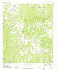 1971 Sunset Village1973 Print · USGSUpson County at the start of the seventies reveals a landscape of family settlements and emerging rural industries. Genealogists can trace family footprints at McCrary Settlement or Jones Settlement, while discovering local landmarks like Lawrences Mill and Thurston Sch.2 unique versions available
 - 1971 Map of Woodbury, 1973 Print
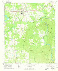 1971 Woodbury1973 Print · USGSThe railroad junction at Woodbury and the heights of Pine Mountain define this Georgia landscape in the early seventies. Genealogists can trace family names and rural communities through landmarks like Sees Old Mill, Concord Cem, and Loftin.2 unique versions available
 - 1971 Map of Roland, 1973 Print
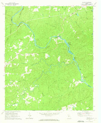 1971 Roland1973 Print · USGSTalbot County at the start of the 1970s is defined by its relationship to the Flint River and its complex network of islands. Local researchers can trace family landmarks and rural congregations at Flint River Ch, Pleasant Hill, and Smith Cem.2 unique versions available
 - 1971 Map of Prattsburg, 1973 Print
 1971 Prattsburg1973 Print · USGSTaylor County, Georgia, is documented here in the early seventies as a rural landscape of creek-fed valleys and small crossroads communities. Genealogists and local historians can trace the locations of Antioch Ch, the Prattsburg Airport, and the small settlement of Wesley.2 unique versions available
 - 1971 Map of Lincoln Park, 1973 Print
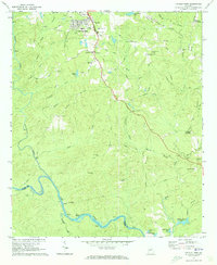 1971 Lincoln Park1973 Print · USGSUpson County at the start of the 1970s reveals a landscape of rural crossroads and river shoals just south of Thomaston. Researchers can trace family history through sites like Southview Cem, the Mica Pit, and local landmarks such as Snipes Grave Rock and Zion Chapel.2 unique versions available
 - 1971 Map of Fickling Mill, 1973 Print
 1971 Fickling Mill1973 Print · USGSTaylor and Crawford Counties are captured in the early 1970s at the meeting of the Flint River and Patsiliga Creek. Local historians can trace the foundations of rural life through numerous country churches like Elam Ch and the historic site of Fickling Mill.2 unique versions available
 - 1971 Map of Zebulon, 1973 Print
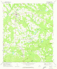 1971 Zebulon1973 Print · USGSPike County's rural character is preserved here in the early seventies as small towns like Meansville and Lifsey thrived along the SOUTHERN rail line. Researchers can locate family landmarks including Bush Cem, Nazareth Ch, and the Pine Mountain Childrens Home.2 unique versions available
 - 1971 Map of Thomaston, 1973 Print
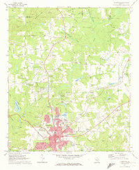 1971 Thomaston1973 Print · USGSThomaston and its textile-mill suburbs of Silvertown and East Thomaston are captured here in the early seventies during a period of steady regional growth. Family researchers can locate Glenwood Cem, Shady Grove Ch, and the site of Hannahs Mill along the surrounding creek branches.2 unique versions available
 - 1973 Map of Yatesville, 1976 Print
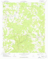 1973 Yatesville1976 Print · USGSMid-century Upson and Lamar counties are captured here at a time when the rural landscape was still defined by the Central of Georgia and Southern railroads. Researchers can trace family history through numerous landmarks like Yatesville, The Rock, and Grays Chapel.
 - 1974 Map of Culloden, 1976 Print
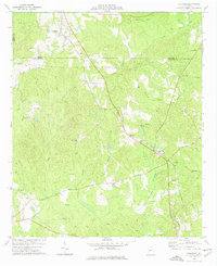 1974 Culloden1976 Print · USGSMid-Georgia rural life is captured here in the mid-seventies as the Southern rail line and various pipelines cross the countryside. Genealogists can locate family landmarks like Taylor Cem, Johnson Cem, and the City of Refuge (Sanatorium).
 - 1974 Map of Strouds, 1976 Print
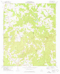 1974 Strouds1976 Print · USGSMonroe County's rural landscape is captured here in the mid-seventies as traditional farming communities like Strouds and Brent persisted. Researchers can trace family history through sites like Sardis Cem and the Southern railroad corridor.
 - 1974 Map of Logtown, 1976 Print
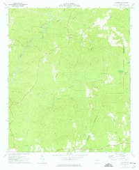 1974 Logtown1976 Print · USGSUpson and Crawford County rural life in the mid-seventies is captured here through its network of creek-side settlements and country churches. Researchers can trace family history through over a dozen named burial sites like Rocky Mt Cem and find landmarks like the Covered Bridge on Auchumpkee Creek.
 - 1979 Map of Griffin, 1980 Print
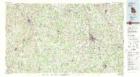 1979 Griffin1980 Print · USGSWest-central Georgia at the close of the seventies reveals a landscape of historic rail towns and growing suburbs between the major river systems. Trace the rail lines and early road networks connecting Griffin, Peachtree City, and Newnan, or locate smaller settlements like Senoia and Experiment.3 unique versions available
Showing maps 1-25 of 26
Top cities of Upson County
- Thomaston historical maps
- Hannahs Mill historical maps
- Sunset Village historical maps
- Lincoln Park historical maps
- Yatesville historical maps
- Salem historical maps
See more
Frequently asked questions
- What are the different types of historical maps available for Upson County?
- What is the oldest map of Upson County?
- Where can I purchase historical maps of Upson County for my home or office?
- Where can I download high-res historical maps of Upson County?
- Are there historical topographic maps available for Upson County?
- Is there historical aerial imagery available for Upson County?
- Where are historical maps of Upson County sourced from?