
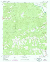
1971 Map of Prattsburg
USGS Topo · Published 1973About this map
The Flint River defines the northeastern boundary of this Georgia landscape, where the borders of Taylor, Talbot, and Upson counties meet. During the early 1970s, this rural area was characterized by a network of small settlements and country churches, including Wesley, Jarrell, and Five Points. The community of Prattsburg serves as a local hub, featuring the Prattsburg Airport and nearby Crossroad Cem.
Find a feature on this map
28 named features on this map. Tap any name to fly to it.
Don’t see what you’re looking for? This feature index may not catch every label — zoom into the map to look around manually.
Map Details
Editions of this 1971 Prattsburg Map
2 editions found
Other maps of this area

1935 · Thomaston
USGS Topo · 1:48,000

1939 · Thomaston
USGS Topo · 1:62,500

1951 · Yatesville
USGS Topo · 1:62,500

1955 · Phenix City
USGS Topo · 1:250,000

1957 · Phenix City
USGS Topo · 1:250,000

1958 · Phenix City
USGS Topo · 1:250,000
1971 · Roland
USGS Topo · 1:24,000
1971 · Baldwinville
USGS Topo · 1:24,000
1971 · Lincoln Park
USGS Topo · 1:24,000

1971 · Fickling Mill
USGS Topo · 1:24,000