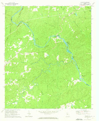
1971 Map of Roland
USGS Topo · Published 1973About this map
The Flint River carves a winding path through the center of this 1971 survey, defining the border between Talbot and Upson counties. The river is the primary focus of the landscape, featuring a series of islands and shoals including Seven Islands, Yellow Jacket Shoals, and Hickman Island. This rugged riverine environment dictated early settlement patterns, with family-named cemeteries and rural churches scattered across the uplands. Landmarks like Pleasant Hill and the community of Roland serve as anchors for the local road network, which includes historic routes like Po Biddy Road and Stinson Road. Genealogists will find significant value in the numerous family burial grounds documented here, such as Grantland Cem, Nelson Cem, and Pye Cem, many of which are associated with long-standing congregations like Flint River Ch.
Find a feature on this map
53 named features on this map. Tap any name to fly to it.
Don’t see what you’re looking for? This feature index may not catch every label — zoom into the map to look around manually.
Map Details
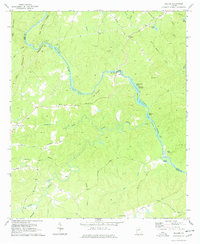
Editions of this 1971 Roland Map
2 editions found
Other maps of this area

1907 · Talbotton
USGS Topo · 1:125,000

1934 · Warm Springs
USGS Topo · 1:62,500

1935 · Thomaston
USGS Topo · 1:48,000

1936 · Warm Springs
USGS Topo · 1:62,500

1939 · Thomaston
USGS Topo · 1:62,500

1950 · Talbotton
USGS Topo · 1:24,000

1950 · Talbotton
USGS Topo · 1:62,500

1955 · Talbotton
USGS Topo · 1:24,000
1955 · Talbotton
USGS Topo · 1:62,500

1955 · Phenix City
USGS Topo · 1:250,000