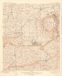
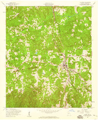
1971 Map of Roland
USGS Topo · Published 1978About this map
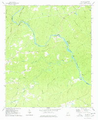
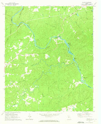
The Flint River defines the landscape of this 1971 survey, winding through the boundary of Talbot and Upson Counties. The river's course is punctuated by numerous named islands, including Owens Island, Seven Islands, and Noel Island, as well as significant river features like Yellow Jacket Shoals and Spewell Bluff. These water features were central to the area's geography before modern development altered many Georgia riverways.
Find a feature on this map
51 named features on this map. Tap any name to fly to it.
Don’t see what you’re looking for? This feature index may not catch every label — zoom into the map to look around manually.
Map Details
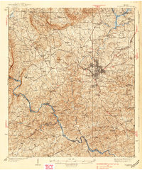
Editions of this 1971 Roland Map
2 editions found
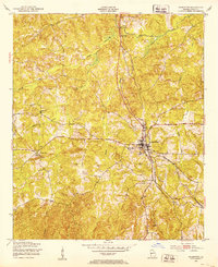
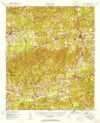
Other maps of this area

1907 · Talbotton
USGS Topo · 1:125,000
1934 · Warm Springs
USGS Topo · 1:62,500
1935 · Thomaston
USGS Topo · 1:48,000
1936 · Warm Springs
USGS Topo · 1:62,500
1939 · Thomaston
USGS Topo · 1:62,500
1950 · Talbotton
USGS Topo · 1:24,000
1950 · Talbotton
USGS Topo · 1:62,500
1955 · Talbotton
USGS Topo · 1:24,000
1955 · Talbotton
USGS Topo · 1:62,500

1955 · Phenix City
USGS Topo · 1:250,000