2010s Maps of Washington County, Georgia
Explore 54 historic maps of Washington County from the 2010s. These maps offer a rare glimpse into what life looked like during the 2010s — showing old roads, neighborhoods, homes, and landmarks that have changed or disappeared over time.
Whether you're researching your family's past, planning a metal detecting trip, or studying how Washington County's landscape evolved across the 2010s, these high-resolution maps are a powerful tool for exploring the history of this region.
- Focus on a specific era: All maps on this page are from the 2010s, giving you a focused view of this time period.
- See what’s changed: Compare century-old streets, trails, and buildings to today's modern landscape using overlays and satellite layers.
- Research with precision: Use these maps for genealogy, historical research, land use analysis, or educational projects.
- View, download, or print: Maps are fully viewable online in high resolution, and can be downloaded or printed for your own records.
Start exploring Washington County's history through authentic maps from the 2010s. This is your window into the past.
Washington County, GA maps
(54)- 2011 Map of Friendship, 2011 Print
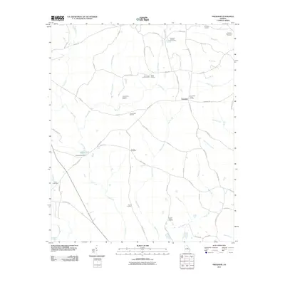 2011 Friendship2011 Print · USGSFriendship and its surrounding farmsteads are documented here in the early twenty-first century, revealing a landscape steeped in family history. Genealogists can trace lineage through numerous local sites including the Rogers Cemetery, Mount Nebo Church Cemetery, and Harmony Churchyard.
 - 2011 Map of Riddleville, 2011 Print
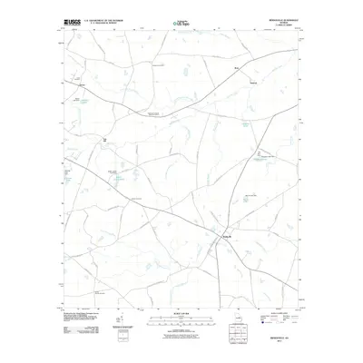 2011 Riddleville2011 Print · USGSRiddleville and the surrounding Georgia countryside are captured here in the early twenty-first century as a landscape of small settlements and family lands. Researchers can trace local lineage through sites like Mount Moriah Cemetery, Sun Hill, and the Little Ohoopee River.
 - 2011 Map of Irwins Crossroads, 2011 Print
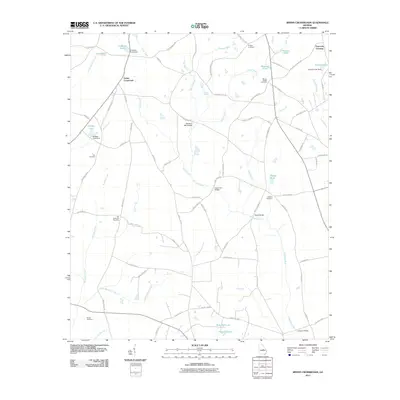 2011 Irwins Crossroads2011 Print · USGSGeorgia's agricultural heartland is documented here in the early twenty-first century, centered on the historic junction of Irwins Crossroads. Local researchers can trace family lands and rural heritage through sites like Masseys Mill Bridge, Old Bethesda Cemetery, and Peacocks Crossing.
 - 2011 Map of Sandersville, 2011 Print
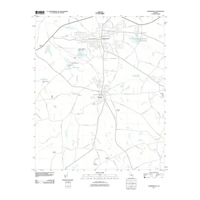 2011 Sandersville2011 Print · USGSWashington County, Georgia, at the turn of the decade showcases the critical intersection of the clay mining industry and historic rural settlements. Researchers can trace family sites near Sinquefield Cemetery or explore the industrial footprint at Kaolin Field and the Thiele Kaolin Mining Company Lake.
 - 2011 Map of Davisboro, 2011 Print
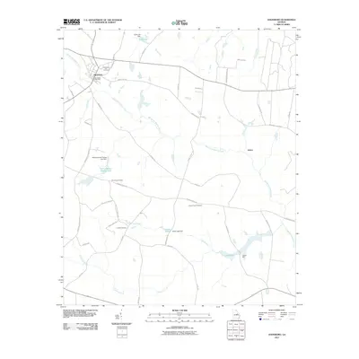 2011 Davisboro2011 Print · USGSDavisboro and its rural surroundings in Washington County are captured here just after the first decade of the millennium. Genealogists and researchers can trace local family landmarks such as Tarvers Mill, Joseys Chapel Cemetery, and the quiet settlement of Almira.
 - 2011 Map of Davisboro SE, 2011 Print
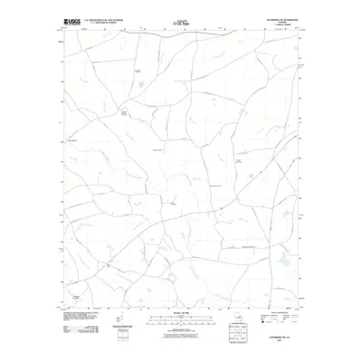 2011 Davisboro SE2011 Print · USGSWashington County, Georgia, is documented here in the early twenty-first century as a rural landscape of creek-fed farms and family holdings. Researchers can trace ancestral locations through numerous family burial sites like Whitfield Cemetery and Price Cemetery or locate the settlement of New Home.
 - 2011 Map of Tabernacle, 2011 Print
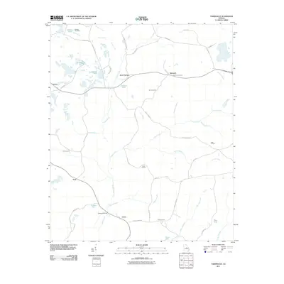 2011 Tabernacle2011 Print · USGSWashington County at the turn of the decade reveals a landscape where old settlements and rural industries persist. Researchers can trace family history through several burial grounds like Tabernacle Cemetery and Brook Cemetery, or follow the industrial paths of Kaolin Rd.
 - 2011 Map of Oconee, 2011 Print
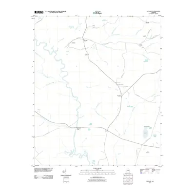 2011 Oconee2011 Print · USGSWashington County at the start of the 2010s reveals a landscape of quiet rural settlements and river-bottom timberland. Researchers can trace family history through local sites like Antioch Cemetery, the Balls Ferry Bridge, and the community of Gardner.
 - 2011 Map of Harrison, 2011 Print
 2011 Harrison2011 Print · USGSHarrison and the surrounding Washington County countryside are detailed here in the early twenty-first century. Researchers can trace rural lineages through sites like Smith Cemetery and New Bethel Cemetery or locate family lands near Jackson Lake.
 - 2011 Map of Toomsboro, 2011 Print
 2011 Toomsboro2011 Print · USGSWilkinson County at the turn of the decade reveals a landscape defined by the Oconee River and traditional rail-town layouts. Genealogists can locate several family burial sites, including Poplar Springs Cemetery and Lords Cemetery.
 - 2011 Map of Warthen NW, 2011 Print
 2011 Warthen NW2011 Print · USGSThis rural Georgia landscape near Zebulon is characterized by its numerous family-named landmarks and historical churchyards during the early twenty-first century. Genealogists can trace deep local roots through sites like Browns Chapel African Methodist Episcopal Cemetery, Nazareth Church Cemetery, and the Barnes Family Cemetery.
 - 2011 Map of Deepstep, 2011 Print
 2011 Deepstep2011 Print · USGSThe rural landscape of Washington County near the turn of the decade is captured here in detail. Genealogists and local historians can locate numerous family burial sites such as the Old Darien Cemetery, Mount Sinai Cemetery, and Deepstep Cemetery while tracing routes across Buffalo Creek.
 - 2011 Map of Warthen NE, 2011 Print
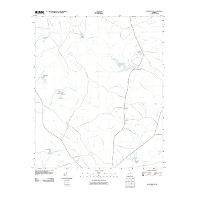 2011 Warthen NE2011 Print · USGSWashington County at the start of the 2010s remains a landscape of managed waterways and ancestral landmarks. Researchers can trace rural lineages through sites like Mineral Springs Cemetery and the many historic impoundments including Hamburg Millpond and Burgamy Millpond.
 - 2011 Map of Mitchell, 2011 Print
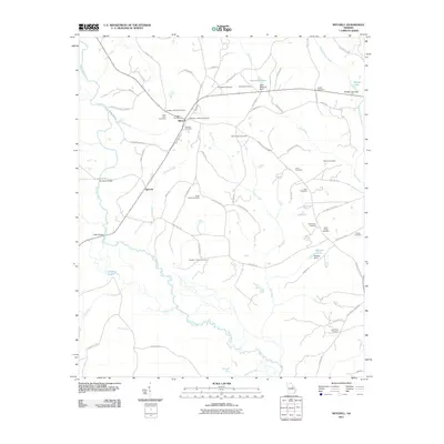 2011 Mitchell2011 Print · USGSGlascock County’s rural character is preserved in this early twenty-first-century survey of the Ogeechee River valley. Genealogists can trace family footprints at Mitchell Cemetery, Friendship Cemetery, and the historic Harrisons Bridge.
 - 2011 Map of Downs, 2011 Print
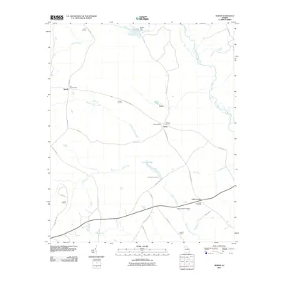 2011 Downs2011 Print · USGSWashington County at the turn of the decade is a landscape of quiet crossroads and family-held lands. Researchers can trace ancestral connections through numerous sites like Downs Cemetery and Gordon Cemetery, or locate old mill sites like Jordan Millpond.
 - 2011 Map of Grange, 2011 Print
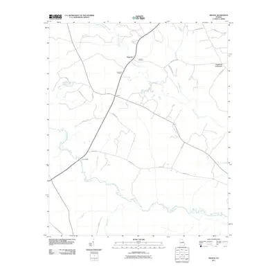 2011 Grange2011 Print · USGSWashington County during the early twenty-first century reveals a landscape of quiet crossroads and historic creek crossings. Genealogists can trace family roots through Magnolia Cemetery, the settlement at Grange, and the river crossing at Fenns Bridge.
 - 2011 Map of Gumm Pond, 2011 Print
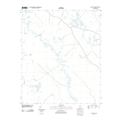 2011 Gumm Pond2011 Print · USGSThe Oconee River bottomlands in central Georgia are documented here in detail during the early twenty-first century. Genealogists and local historians can trace family-named sites and industrial markers like Harrison Mine, Lord Lake, and Adams Pond.
 - 2011 Map of Warthen, 2011 Print
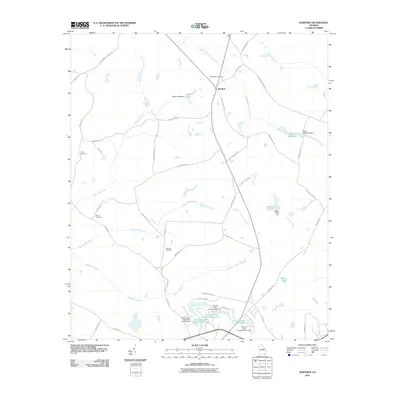 2011 Warthen2011 Print · USGSWarthen and the surrounding Washington County countryside are captured here in the early twenty-first century. Genealogists and local researchers can pinpoint family burial grounds like Taylor Cemetery and old water-powered sites such as Mays Millpond.
 - 2014 Map of Warthen, 2014 Print
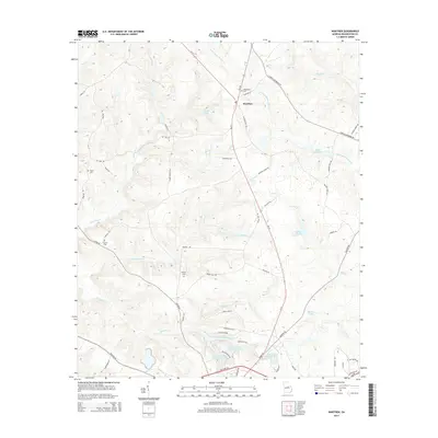 2014 Warthen2014 Print · USGSWarthen and the surrounding Washington County timberlands are captured here in the early twenty-first century. Genealogists can locate family burial sites like Bethlehem Cem and Harris Cem or trace ancestral lands near Mays Millpond.
 - 2014 Map of Warthen NW, 2014 Print
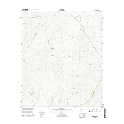 2014 Warthen NW2014 Print · USGSWashington and Hancock Counties are shown here during the early twenty-first century, revealing a rural landscape defined by ancient creek beds and family legacies. Genealogists can trace numerous burial sites and churchyards, from the N F Garland Gravesite to the Archer Grove Church Cem.
 - 2014 Map of Friendship, 2014 Print
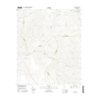 2014 Friendship2014 Print · USGSCentered on the border of Baldwin, Hancock, and Washington counties in the 2010s, this area preserves a quiet rural landscape. Genealogists can trace family lineage through numerous small burial sites like John Thomas Family Cem and the Harmony Churchyard.
 - 2014 Map of Davisboro, 2014 Print
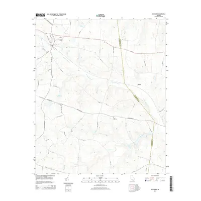 2014 Davisboro2014 Print · USGSThe agricultural landscape of Washington and Jefferson Counties comes into focus in this recent survey. Local historians can trace family roots through Davisboro City Cem and Fulford Cem or locate the settlement of Almira.
 - 2014 Map of Toomsboro, 2014 Print
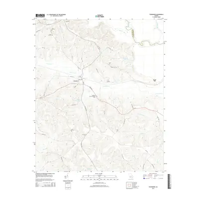 2014 Toomsboro2014 Print · USGSToomsboro and the surrounding Wilkinson County lowlands appear in high detail during the early twenty-first century. Genealogists can trace family footprints across numerous sites like David Clay Cem, Poplar Springs Cem, and the crossing at William H Freeman Memorial Bridge.
 - 2014 Map of Irwins Crossroads, 2014 Print
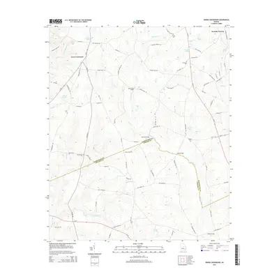 2014 Irwins Crossroads2014 Print · USGSWashington and Johnson counties are documented here in the early twenty-first century, showcasing a rural landscape defined by the winding Ohoopee River. Genealogists and local historians can trace family ties through Old Bethesda Cem, Bethany Cem, and historic river crossings like Masseys Mill Bridge.
 - 2014 Map of Gumm Pond, 2014 Print
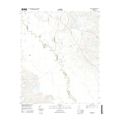 2014 Gumm Pond2014 Print · USGSThe Oconee River corridor at the intersection of three Georgia counties is captured here in the early twenty-first century. Researchers can trace the winding river through Big Bend or locate local landmarks like the Harrison Mine and the settlement of Hebron.
Showing maps 1-25 of 54
Top cities of Washington County
- Sandersville historical maps
- Tennille historical maps
- Davisboro historical maps
- Harrison historical maps
- Oconee historical maps
- Deepstep historical maps
See more
Frequently asked questions
- What are the different types of historical maps available for Washington County?
- What is the oldest map of Washington County?
- Where can I purchase historical maps of Washington County for my home or office?
- Where can I download high-res historical maps of Washington County?
- Are there historical topographic maps available for Washington County?
- Is there historical aerial imagery available for Washington County?
- Where are historical maps of Washington County sourced from?