Old Maps of Gardi, Georgia for Metal Detecting
Plan your next treasure hunt with 14 historic maps of Gardi. Find old homesites, ghost towns, trails, and gathering spots that may be lost to time — perfect for identifying promising metal detecting locations.
- Locate forgotten sites: Uncover places like long-lost settlements, abandoned rail lines, or gathering spots.
- Plan better hunts: Use map overlays combined with LiDAR or satellite views to narrow in on historically rich areas.
- Made for detectorists: Thousands of hobbyists use these maps to discover relics, coins, and hidden history.
Use these historic maps to boost your research and find new opportunities beneath the surface of Gardi.
Gardi, GA maps
(14)- 1918 Map of Jesup
 1918 Jesup1918 Print · USGSWayne County was a bustling rail and river corridor during the First World War era. Genealogists can trace family roots through a dense network of local landmarks, from Millikin Crossing School to the rural Bethlehem Church and Midway Church.3 unique versions available
 - 1943 Map of Jesup
 1943 Jesup1943 Print · USGSSoutheast Georgia during the war years reveals a landscape of thriving rail junctions and river landings. Genealogists and local historians can trace the foundations of Wayne County through sites like Redland P O Nesbitt Station, Midway Ch, and Doctortown.
 - 1946 Map of Brunswick, 1948 Print
 1946 Brunswick1948 Print · USGSCoastal Georgia in the mid-forties reveals a landscape defined by the Camp Stewart Military Reservation and the sprawling barrier islands. Genealogists and historians can trace the rail-and-river network through inland towns like Ludowici and Jesup, or locate coastal landmarks like the St Simon Light.
 - 1948 Map of Brunswick
 1948 Brunswick1948 Print · USGSCoastal Georgia in the late 1940s is defined here by its labyrinthine barrier islands and the massive footprint of Camp Stewart. Genealogists and historians can trace the rail-tied growth of Jesup and Hinesville or locate coastal landmarks like St Simon Light.
 - 1956 Map of Brunswick, 1968 Print
 1956 Brunswick1968 Print · USGSThe Georgia coast in the mid-twentieth century is a wild expanse of barrier islands and massive river deltas. You can trace the development of the maritime economy and military presence at Brunswick, or locate historic sites like Fort Frederica National Monument and Harris Neck National Wildlife Refuge.2 unique versions available
 - 1961 Map of Brunswick
 1961 Brunswick1961 Print · USGSThe Georgia coast at the start of the 1960s was a landscape of deep tidal marshes and growing military installations. Genealogists and historians can trace rail-linked towns like Limerick Station or explore coastal landmarks from Fort Frederica National Monument to Sapelo Island.
 - 1970 Map of Jesup East, 1974 Print
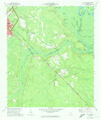 1970 Jesup East1974 Print · USGSWayne County is documented in the 1970s as a vital junction for the Southern and Seaboard Coast Line railroads. Genealogists and historians can trace the rural communities of Odessa and Gardi or locate family-named landmarks like Bethlehem Ch and Plank Landing.2 unique versions available
 - 1978 Map of Brunswick
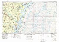 1978 Brunswick1978 Print · USGSThe Georgia coast and its barrier islands are captured in the late 1970s, as I-95 and the rail lines shaped the growth of coastal towns. Genealogists and historians can trace family locations across the islands or locate sites near Fort Stewart, Darien, and Ludowici.2 unique versions available
 - 1981 Map of Jesup, 1982 Print
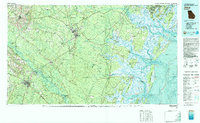 1981 Jesup1982 Print · USGSCoastal Georgia in the early eighties shows a landscape of expansive river deltas and military reservations stretching from the interior to the Atlantic. Genealogists and local historians can trace family locations near Jesup, the old port of Sunbury, or the tidal reaches of the Altamaha River.
 - 2011 Map of Jesup East, 2011 Print
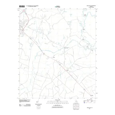 2011 Jesup East2011 Print · USGSThe Altamaha River lowlands and small Wayne County settlements are captured here in the early twenty-first century. Researchers can trace the rural landscape near Odessa and Gardi, or locate local access points like Plank Landing and Oak Landing.
 - 2014 Map of Jesup East, 2014 Print
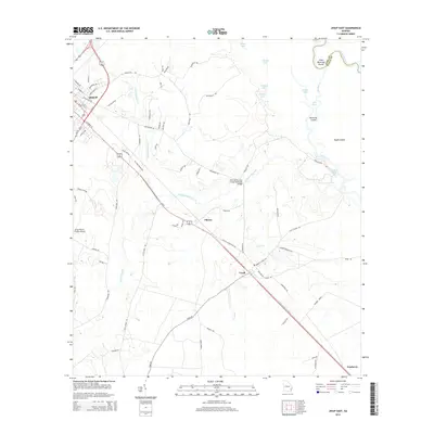 2014 Jesup East2014 Print · USGSSoutheast Georgia in the early 2010s reveals a landscape of river islands and rural hamlets along the Altamaha River floodplain. Researchers can trace the layout of small communities like Gardi and Odessa or locate landmarks such as the Jesup-Wayne County Airport.
 - 2017 Map of Jesup East, 2017 Print
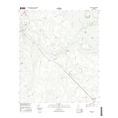 2017 Jesup East2017 Print · USGSCoastal Georgia's riverine corridor is captured here in the late twenty-teens as it transitions from the streets of Jesup to the deep wetlands of the Altamaha River. Genealogists and locals can trace the rail-side communities of Odessa and Gardi or locate family landmarks near Penholoway Swamp.
 - 2020 Map of Jesup East, 2020 Print
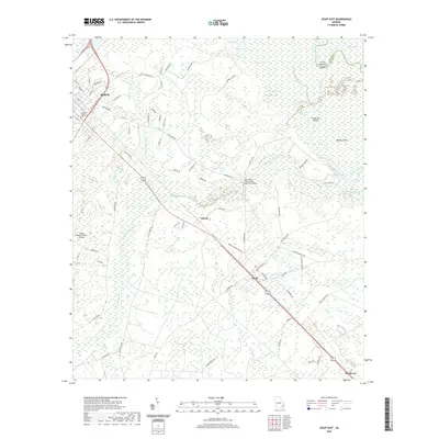 2020 Jesup East2020 Print · USGSSoutheast Georgia's riverine corridor near the Altamaha is documented here during the early twenty-first century. Genealogists and local historians can trace the rural communities of Odessa, Gardi, and Pendarvis and locate family landmarks like Kentucky Island and Gardner Lake.
 - 2024 Map of Jesup East, 2024 Print
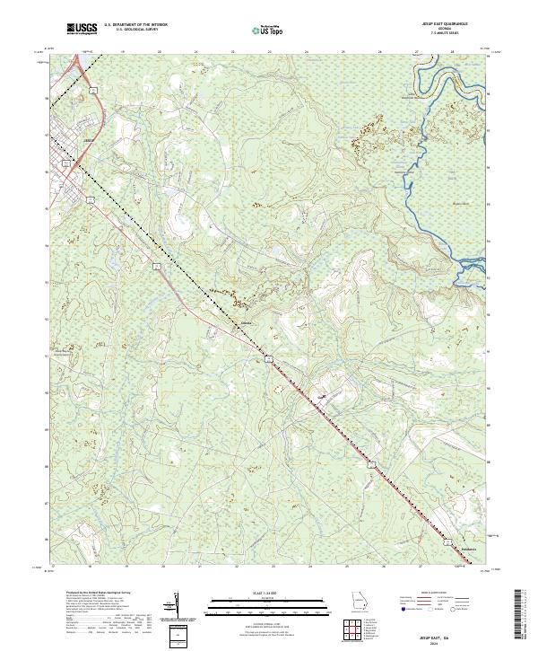 2024 Jesup East2024 Print · USGSWayne County, Georgia, is shown here in its modern rural character, defined by the winding Altamaha River and the rail corridor connecting Jesup to the coast. Researchers can trace family history through local settlements like Odessa and Pendarvis or explore the swampy reaches of Kentucky Island.
End of results
Showing maps 1-14 of 14
Top cities near Gardi
- Jesup historical maps
- Walthourville historical maps
- Ludowici historical maps
- Screven historical maps
- Odum historical maps
Frequently asked questions
- What are the different types of historical maps available for Gardi?
- What is the oldest map of Gardi?
- Where can I purchase historical maps of Gardi for my home or office?
- Where can I download high-res historical maps of Gardi?
- Are there historical topographic maps available for Gardi?
- Is there historical aerial imagery available for Gardi?
- Where are historical maps of Gardi sourced from?