2020s Maps of Webster County, Georgia
Explore 18 historic maps of Webster County from the 2020s. These maps offer a rare glimpse into what life looked like during the 2020s — showing old roads, neighborhoods, homes, and landmarks that have changed or disappeared over time.
Whether you're researching your family's past, planning a metal detecting trip, or studying how Webster County's landscape evolved across the 2020s, these high-resolution maps are a powerful tool for exploring the history of this region.
- Focus on a specific era: All maps on this page are from the 2020s, giving you a focused view of this time period.
- See what’s changed: Compare century-old streets, trails, and buildings to today's modern landscape using overlays and satellite layers.
- Research with precision: Use these maps for genealogy, historical research, land use analysis, or educational projects.
- View, download, or print: Maps are fully viewable online in high resolution, and can be downloaded or printed for your own records.
Start exploring Webster County's history through authentic maps from the 2020s. This is your window into the past.
Webster County, GA maps
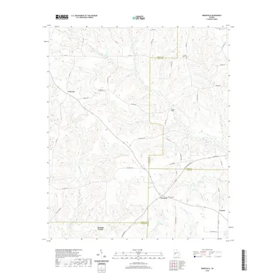
(18)- 2020 Map of Bottsford, 2020 Print
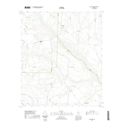 2020 Bottsford2020 Print · USGSCovers Webster County, including Bottsford, Cottondale, and other nearby areas
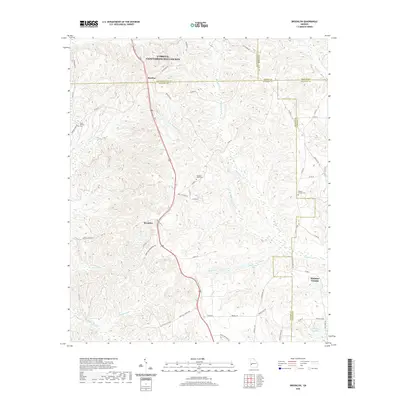
 - 2020 Map of Benevolence, 2020 Print
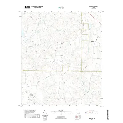 2020 Benevolence2020 Print · USGSCovers Webster County, including Weston, Gore, and other nearby areas
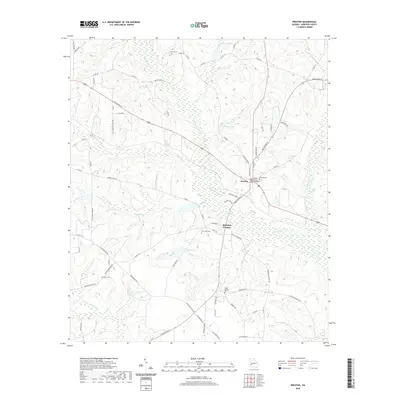
 - 2020 Map of Richland, 2020 Print
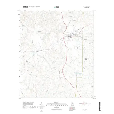 2020 Richland2020 Print · USGSCovers Webster County, including Richland, Kimbrough, and other nearby areas
 - 2020 Map of Plains, 2020 Print
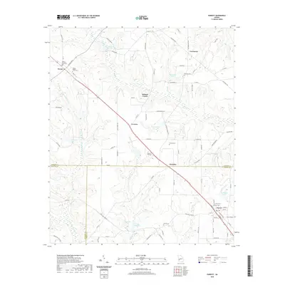
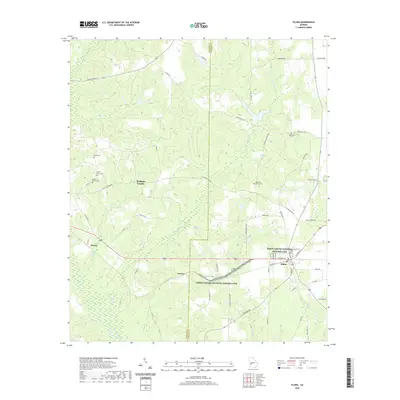 2020 Plains2020 Print · USGSCovers Webster County, including Plains, Archery, and other nearby areas
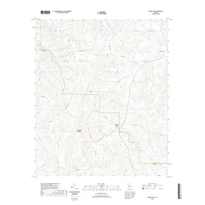
 - 2020 Map of Draneville, 2020 Print
 2020 Draneville2020 Print · USGSCovers Webster County, including Concord, Draneville, and other nearby areas
 - 2020 Map of Brooklyn, 2020 Print
 2020 Brooklyn2020 Print · USGSCovers Webster County, including Renfroe, Brooklyn, and other nearby areas
 - 2020 Map of Preston, 2020 Print
 2020 Preston2020 Print · USGSCovers Webster County, including Preston, United States, and other nearby areas
 - 2020 Map of Church Hill, 2020 Print
 2020 Church Hill2020 Print · USGSCovers Webster County, including Church Hill, Marion County, and other nearby areas
 - 2020 Map of Parrott, 2020 Print
 2020 Parrott2020 Print · USGSCovers Webster County, including Parrott, Weston, and other nearby areas
 - 2024 Map of Church Hill, 2024 Print
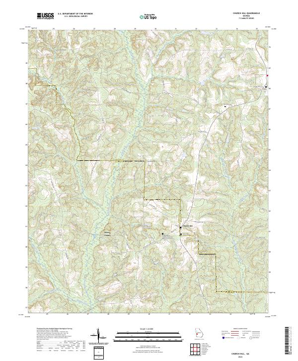 2024 Church Hill2024 Print · USGSThe Marion and Webster County line comes alive in the mid-2020s, showing a rural landscape defined by deep creek bottoms and country crossroads. Genealogists can trace family footprints at Old Union Cem, Smyrna Cem, and the Evans Chapel CME Church.
 - 2024 Map of Bottsford, 2024 Print
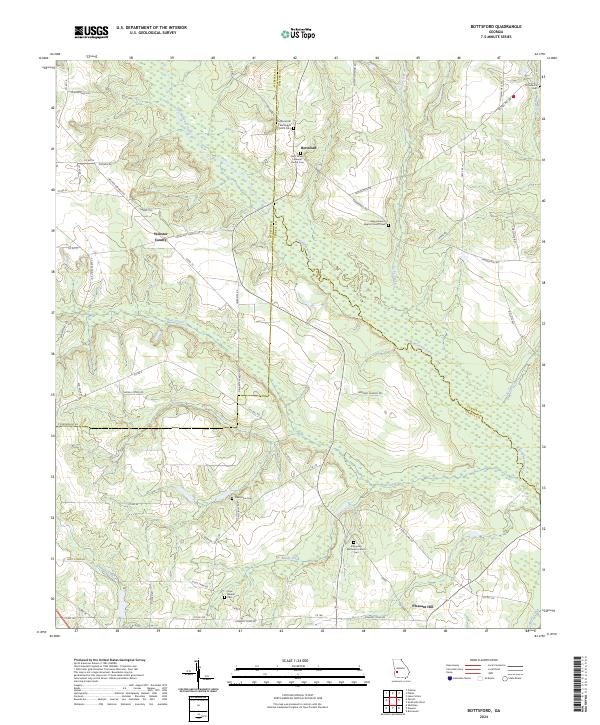 2024 Bottsford2024 Print · USGSThe intersection of Terrell, Webster, and Sumter counties is captured here in the contemporary era, defined by the winding course of Kinchafoonee Creek. Researchers can trace local heritage through numerous rural landmarks like Old Rural Hill Methodist Church Cem and the community at Bottsford.
 - 2024 Map of Draneville, 2024 Print
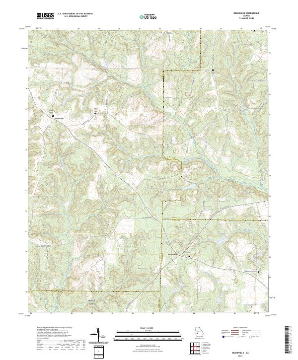 2024 Draneville2024 Print · USGSMarion and Schley counties are shown here as they appeared in recent years, dominated by winding creek branches and rural farm roads. Local historians can trace family roots through sites like Frasier Smith Cem and the Concord Methodist Church.
 - 2024 Map of Richland, 2024 Print
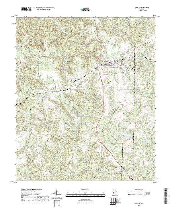 2024 Richland2024 Print · USGSRichland and the surrounding Stewart County countryside are captured here in the twenty-first century, showing a landscape of deep-rooted rural communities. Family historians can trace local burial sites like Whit Wiggins Cem or locate the Bethel African Methodist Episcopal Church in Kimbrough.
 - 2024 Map of Benevolence, 2024 Print
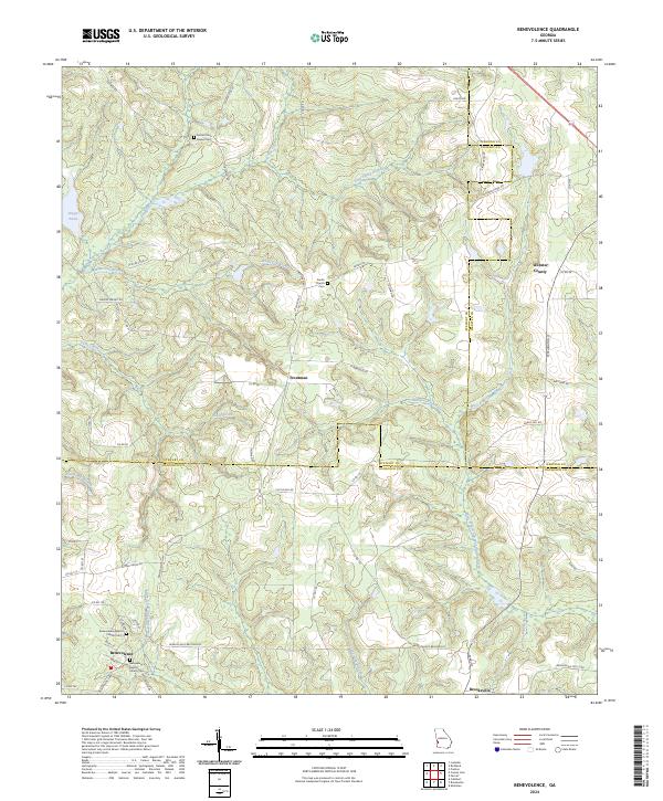 2024 Benevolence2024 Print · USGSThe rural crossroads of Stewart County are documented here as they appeared in the 2020s. Genealogists can trace local roots at Sardis Cem and Benevolence Baptist Church Cem or find old homesteads near Troutman.
 - 2024 Map of Parrott, 2024 Print
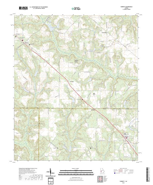 2024 Parrott2024 Print · USGSThe tri-county borderlands of Terrell, Webster, and Randolph counties show a deeply rooted agricultural landscape in the 2020s. Trace family connections at Parrott Cem, Turkey Creek Cem, or the old millpond at Davenports Millpond.
 - 2024 Map of Brooklyn, 2024 Print
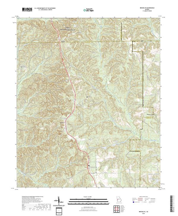 2024 Brooklyn2024 Print · USGSStewart County's rural crossroads and family homesteads are preserved here in the modern era. Genealogists can trace local heritage through sites like Red Hill Christian Church Cem, Brooklyn, and the Pickett - Brooks Cem.
 - 2024 Map of Plains, 2024 Print
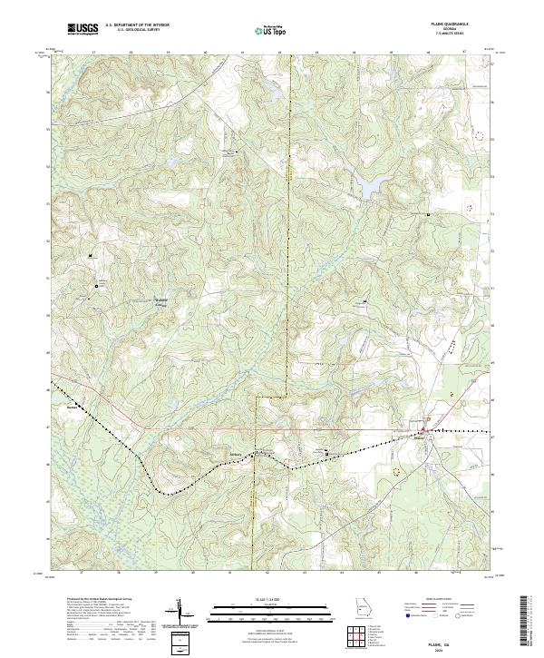 2024 Plains2024 Print · USGSThe rural landscapes of Sumter and Webster counties are preserved in this recent survey, centered on the community of Plains. Researchers can trace local heritage through landmarks like the Redding Family Cem and the Jimmy Carter National Historic Site.
 - 2024 Map of Preston, 2024 Print
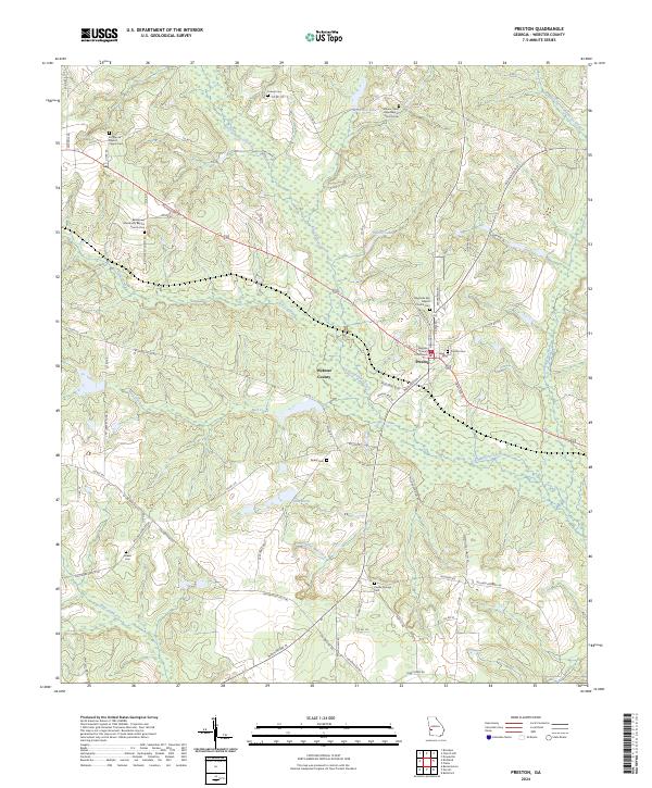 2024 Preston2024 Print · USGSThe county seat of Preston is the heart of this rural Georgia landscape as it appears today. Genealogists can trace family roots through numerous burial sites like Preston Cem, Askew Cem, and Poplar Springs Cem.
End of results
Showing maps 1-18 of 18
Top cities of Webster County
Frequently asked questions
- What are the different types of historical maps available for Webster County?
- What is the oldest map of Webster County?
- Where can I purchase historical maps of Webster County for my home or office?
- Where can I download high-res historical maps of Webster County?
- Are there historical topographic maps available for Webster County?
- Is there historical aerial imagery available for Webster County?
- Where are historical maps of Webster County sourced from?