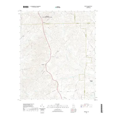
2020 Map of Brooklyn
USGS Topo · Published 2020About this map
Renfroe and Brooklyn anchor this rural landscape where the borders of Cusseta-Chattahoochee County, Stewart, Marion, and Webster County converge. The topography is defined by the extensive drainage systems of Slaughter Creek and Hannahatchee Cr, which carve a dense network of ridges and hollows across the terrain. Local history and genealogy are preserved in the locations of Saint Phillip's Cem, Slaughter Creek Cem, and the Pickett-Shipley Cem, each situated along the rural backroads that connect these farming communities.
Find a feature on this map
58 named features on this map. Tap any name to fly to it.
Don’t see what you’re looking for? This feature index may not catch every label — zoom into the map to look around manually.
Map Details
Editions of this 2020 Brooklyn Map
This is the sole edition of this map. No revisions or reprints were ever made.
Other maps of this area

1908 · Columbus
USGS Topo · 1:62,500

1929 · Columbus
USGS Topo · 1:48,000

1947 · Columbus
USGS Topo · 1:62,500

1949 · Glen Alta
USGS Topo · 1:24,000

1949 · Cusseta
USGS Topo · 1:24,000

1950 · Louvale
USGS Topo · 1:24,000

1950 · Buena Vista
USGS Topo · 1:24,000

1950 · Lumpkin
USGS Topo · 1:24,000

1950 · Buena Vista
USGS Topo · 1:62,500

1950 · Lumpkin
USGS Topo · 1:62,500