2020s Maps of Pineview, Georgia
Explore 4 historic maps of Pineview from the 2020s. These maps offer a rare glimpse into what life looked like during the 2020s — showing old roads, neighborhoods, homes, and landmarks that have changed or disappeared over time.
Whether you're researching your family's past, planning a metal detecting trip, or studying how Pineview's landscape evolved across the 2020s, these high-resolution maps are a powerful tool for exploring the history of this region.
- Focus on a specific era: All maps on this page are from the 2020s, giving you a focused view of this time period.
- See what’s changed: Compare century-old streets, trails, and buildings to today's modern landscape using overlays and satellite layers.
- Research with precision: Use these maps for genealogy, historical research, land use analysis, or educational projects.
- View, download, or print: Maps are fully viewable online in high resolution, and can be downloaded or printed for your own records.
Start exploring Pineview's history through authentic maps from the 2020s. This is your window into the past.
Pineview, GA maps
(4)- 2020 Map of Pineview East, 2020 Print
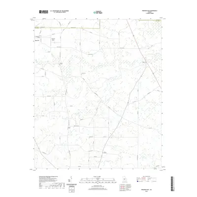 2020 Pineview East2020 Print · USGSCovers Pineview, including Wilcox County, Pulaski County, and other nearby areas
 - 2020 Map of Pineview West, 2020 Print
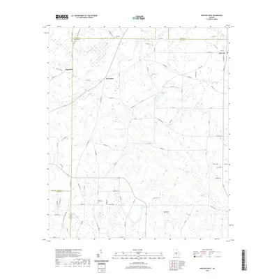 2020 Pineview West2020 Print · USGSCovers Pineview, including Tippettville, Five Points, and other nearby areas
 - 2024 Map of Pineview West, 2024 Print
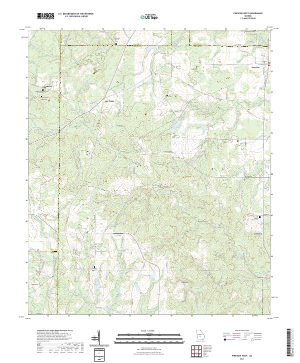 2024 Pineview West2024 Print · USGSWilcox County and its neighbors are mapped here in the modern era, showing a landscape defined by the Alapaha River and rural crossroads. Genealogists can trace family footprints at Tippettville Baptist Church Cem, Pleasant View Cem, and the quiet settlement of Five Points.
 - 2024 Map of Pineview East, 2024 Print
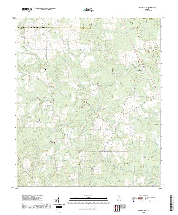 2024 Pineview East2024 Print · USGSThe Wilcox and Pulaski County line divides this rural Georgia landscape during the early twenty-first century. Genealogists can locate several community landmarks including Pineview Cem, Christian Hill Church Cem, and Liberty Hill Cem.
End of results
Showing maps 1-4 of 4
Top cities near Pineview
- Cordele historical maps
- Hawkinsville historical maps
- Unadilla historical maps
- Abbeville historical maps
- Rochelle historical maps
- Pitts historical maps
Frequently asked questions
- What are the different types of historical maps available for Pineview?
- What is the oldest map of Pineview?
- Where can I purchase historical maps of Pineview for my home or office?
- Where can I download high-res historical maps of Pineview?
- Are there historical topographic maps available for Pineview?
- Is there historical aerial imagery available for Pineview?
- Where are historical maps of Pineview sourced from?