2000s (21st Century) Maps of Tignall, Georgia
Explore 20 historic maps of Tignall from the 2000s (21st Century). These maps offer a rare glimpse into what life looked like during the 2000s — showing old roads, neighborhoods, homes, and landmarks that have changed or disappeared over time.
Whether you're researching your family's past, planning a metal detecting trip, or studying how Tignall's landscape evolved across the 2000s, these high-resolution maps are a powerful tool for exploring the history of this region.
- Focus on a specific era: All maps on this page are from the 2000s, giving you a focused view of this time period.
- See what’s changed: Compare century-old streets, trails, and buildings to today's modern landscape using overlays and satellite layers.
- Research with precision: Use these maps for genealogy, historical research, land use analysis, or educational projects.
- View, download, or print: Maps are fully viewable online in high resolution, and can be downloaded or printed for your own records.
Start exploring Tignall's history through authentic maps from the 2000s. This is your window into the past.
Tignall, GA maps
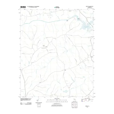
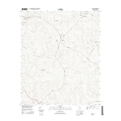
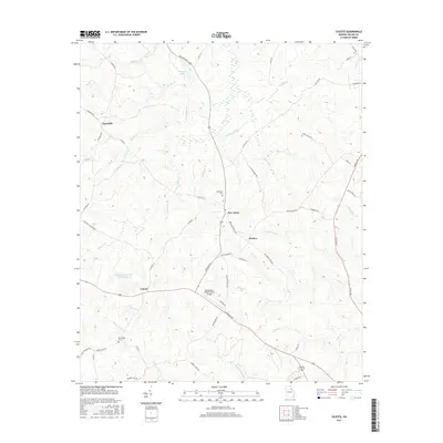
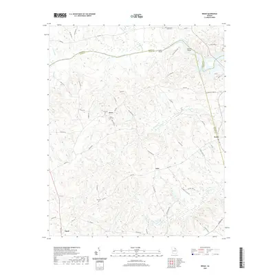
(20)- 2011 Map of Celeste, 2011 Print
 2011 Celeste2011 Print · USGSCovers Tignall, including Washington, New Town, and other nearby areas
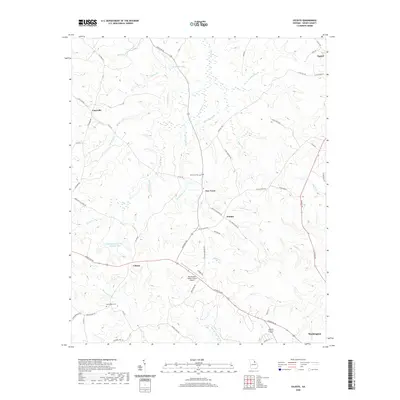
 - 2011 Map of Tignall, 2011 Print
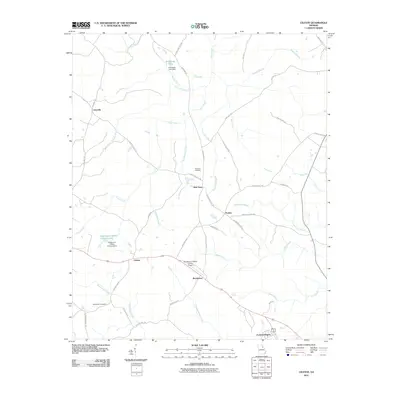
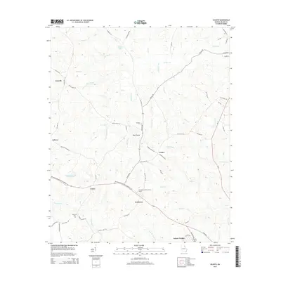
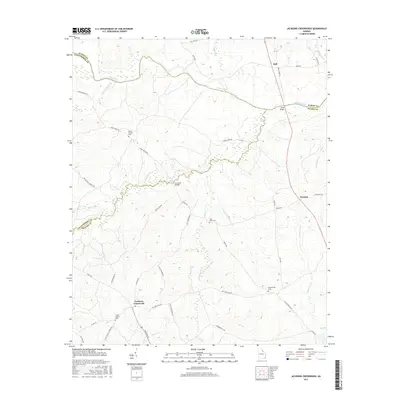
 2011 Tignall2011 Print · USGSCovers Tignall, including Washington, Sandy Hill, and other nearby areas
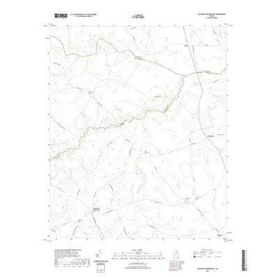
 - 2011 Map of Jacksons Crossroads, 2011 Print
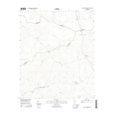
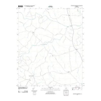 2011 Jacksons Crossroads2011 Print · USGSCovers Tignall, including Bell, Norman, and other nearby areas
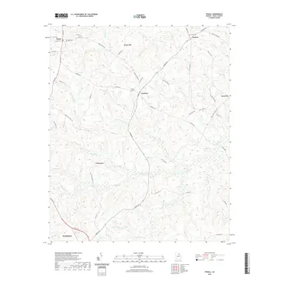
 - 2011 Map of Broad, 2011 Print
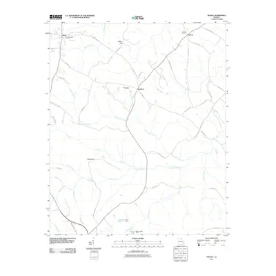
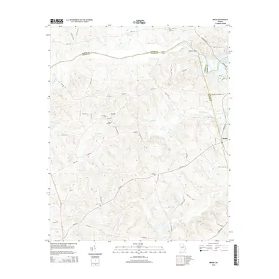
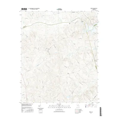
 2011 Broad2011 Print · USGSCovers Tignall, including Beulah, Delhi, and other nearby areas
 - 2014 Map of Celeste, 2014 Print
 2014 Celeste2014 Print · USGSCovers Tignall, including Washington, New Town, and other nearby areas
 - 2014 Map of Jacksons Crossroads, 2014 Print
 2014 Jacksons Crossroads2014 Print · USGSCovers Tignall, including Bell, Norman, and other nearby areas
 - 2014 Map of Tignall, 2014 Print
 2014 Tignall2014 Print · USGSCovers Tignall, including Washington, Sandy Hill, and other nearby areas
 - 2014 Map of Broad, 2014 Print
 2014 Broad2014 Print · USGSCovers Tignall, including Beulah, Delhi, and other nearby areas
 - 2017 Map of Jacksons Crossroads, 2017 Print
 2017 Jacksons Crossroads2017 Print · USGSCovers Tignall, including Bell, Norman, and other nearby areas
 - 2017 Map of Tignall, 2017 Print
 2017 Tignall2017 Print · USGSCovers Tignall, including Washington, Sandy Hill, and other nearby areas
 - 2017 Map of Broad, 2017 Print
 2017 Broad2017 Print · USGSCovers Tignall, including Beulah, Delhi, and other nearby areas
 - 2017 Map of Celeste, 2017 Print
 2017 Celeste2017 Print · USGSCovers Tignall, including Washington, New Town, and other nearby areas
 - 2020 Map of Broad, 2020 Print
 2020 Broad2020 Print · USGSCovers Tignall, including Beulah, Delhi, and other nearby areas
 - 2020 Map of Celeste, 2020 Print
 2020 Celeste2020 Print · USGSCovers Tignall, including Washington, New Town, and other nearby areas
 - 2020 Map of Jacksons Crossroads, 2020 Print
 2020 Jacksons Crossroads2020 Print · USGSCovers Tignall, including Bell, Norman, and other nearby areas
 - 2020 Map of Tignall, 2020 Print
 2020 Tignall2020 Print · USGSCovers Tignall, including Washington, Sandy Hill, and other nearby areas
 - 2024 Map of Celeste, 2024 Print
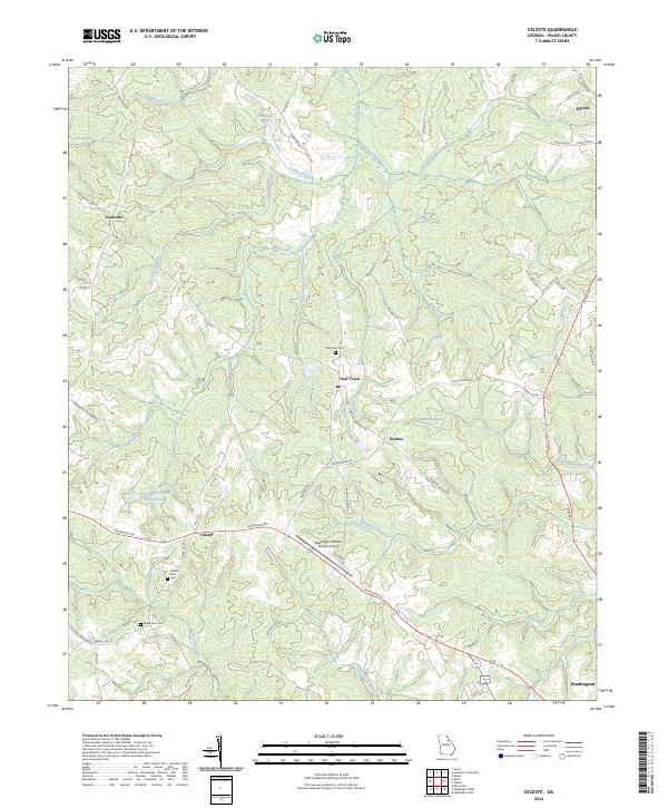 2024 Celeste2024 Print · USGSWilkes County crossroads and small settlements come into focus in this contemporary survey of the Georgia Piedmont. Researchers can trace family history at Newtown Cem and locate landmarks like the Washington-Wilkes County Airport and Celeste.
 - 2024 Map of Jacksons Crossroads, 2024 Print
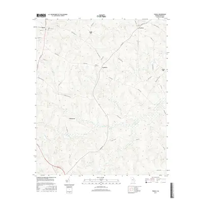
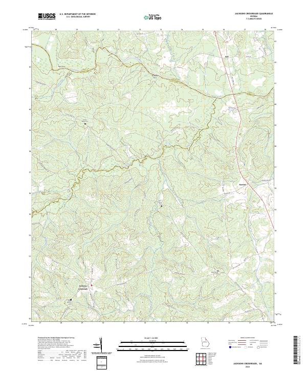 2024 Jacksons Crossroads2024 Print · USGSWilkes and Oglethorpe counties meet along the Broad River in this modern survey of rural Georgia. Researchers can trace ancestral locations near Jacksons Crossroads and find historic burial sites like Clarks Station Cem and Mallorysville Cem.
 - 2024 Map of Tignall, 2024 Print
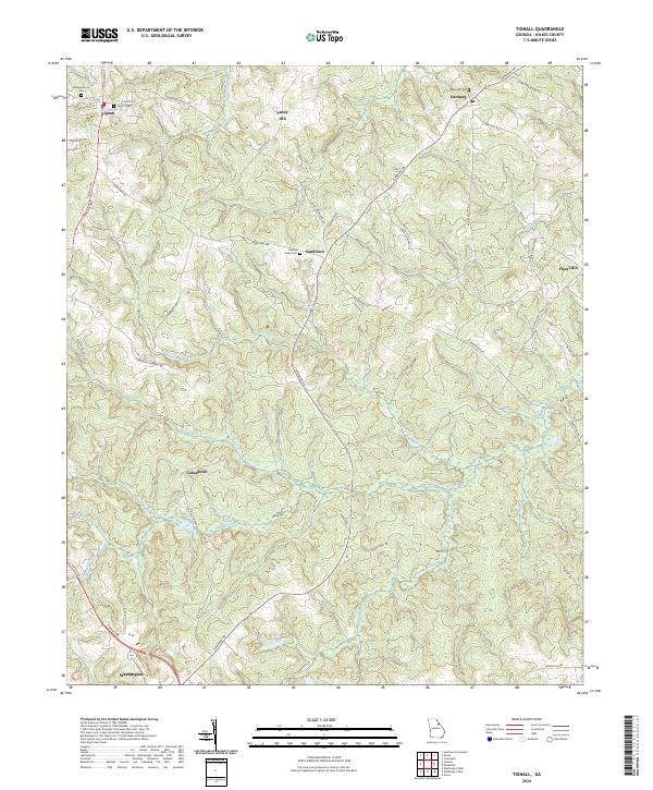 2024 Tignall2024 Print · USGSThe rural stretches of Wilkes County come into focus in this contemporary survey of the Georgia Piedmont. Researchers can trace family history through the numerous rural burial grounds and crossroads communities like Danburg, Sandtown, and Independence Cem.
 - 2024 Map of Broad, 2024 Print
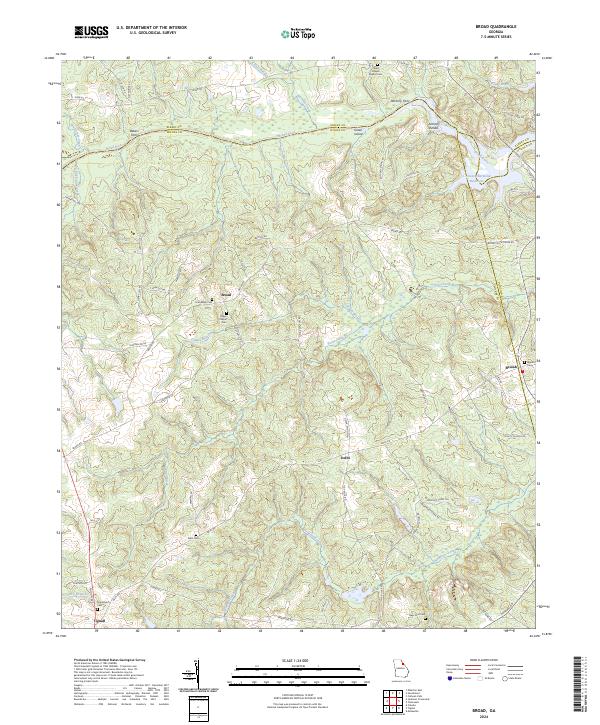 2024 Broad2024 Print · USGSThe Broad River valley along the Elbert and Wilkes county line appears here in its modern rural character. Genealogists can trace family heritage at Gades Chapel Baptist Cem and Popes Chapel Cem, or locate old river crossings at Bakers Ferry and Anthony Ferry.
End of results
Showing maps 1-20 of 20
Top cities near Tignall
- Elberton historical maps
- Washington historical maps
- Calhoun Falls historical maps
- Rayle historical maps
Frequently asked questions
- What are the different types of historical maps available for Tignall?
- What is the oldest map of Tignall?
- Where can I purchase historical maps of Tignall for my home or office?
- Where can I download high-res historical maps of Tignall?
- Are there historical topographic maps available for Tignall?
- Is there historical aerial imagery available for Tignall?
- Where are historical maps of Tignall sourced from?