Old Maps of Piʻihonua, Hilo for Genealogy
Trace your family roots with 14 historic maps of Piʻihonua. These high-res maps reveal old neighborhoods, homesites, landmarks, and streets — helping you uncover where your ancestors lived and how the area evolved over time.
- Explore historic neighborhoods: Identify where your relatives may have lived in the 1800s or 1900s.
- Compare maps over time: Trace the changes in streets, buildings, and landmarks for multi-generational research.
- Perfect for genealogy & ancestry research: Used by family historians and researchers to map out lineage and migration.
These maps are an incredible resource for exploring your personal connection to Piʻihonua's past.
Piʻihonua, Hilo maps
(14)- 1917 Map of Hilo
 1917 Hilo1917 Print · USGSThe Hilo region during the Great War era shows a landscape shaped by sugar production and volcanic history. Researchers can trace the Hilo R. R. through plantation hubs like Olaa Plantation Mill and early settlements including Mountain View and Elevenmile Homestead.
 - 1932 Map of Hilo
 1932 Hilo1932 Print · USGSCoastal Hawaii and the Puna district appear here at the height of the plantation era, before major mid-century modernization. Researchers can trace the layout of sugar camps and early rail lines, locating the Olaa Plantation Mill, the Hilo Air Port, and the track of the Lava Flow of 1881.2 unique versions available
 - 1954 Map of Hawaii North
 1954 Hawaii North1954 Print · USGSThe Big Island in the mid-fifties shows a landscape of active volcanic history and a peak sugar-mill economy. Trace the route of the Hawaii Consolidated Railway, locate the Olaa Plantation Mill, and see the extent of the Lava flow of 1881 near Hilo.
 - 1959 Map of Hawaii North
 1959 Hawaii North1959 Print · USGSThe northern half of Hawaii Island in the late fifties shows a landscape shaped by historic volcanic activity and a thriving sugar and ranching economy. Researchers can trace historic lava flows alongside local landmarks like Upolu Point Airport, Huehue Ranch, and the Pacific Sugar Mill.
 - 1961 Map of Hawaii North
 1961 Hawaii North1961 Print · USGSThe Big Island's northern reaches are shown here in the early sixties, during the peak of the sugar era and before modern resort development. Researchers can trace the Hawaii Consolidated railroad, locate the Ahu a Umi Heiau Ruins, and explore sugar industry landmarks like the Pacific Sugar Mill.2 unique versions available
 - 1963 Map of Piihonua, 1964 Print
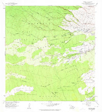 1963 Piihonua1964 Print · USGSThe South Hilo District is captured here in the early sixties, showing how historic eruptions shaped local development. Genealogists and historians can locate the Japanese Cemetery, Kaumana School, and the path of the Olaa Flume through the homesteads.
 - 1975 Map of Hawaii, 1977 Print
 1975 Hawaii1977 Print · USGSThe Big Island in the mid-seventies is captured here as a landscape of volcanic giants and coastal sugar communities. Genealogists and historians can locate former plantation sites like Pepeekeo Mill or trace the routes of the Mamalahoa Highway through Kamuela.
 - 1977 Map of Piihonua, 1981 Print
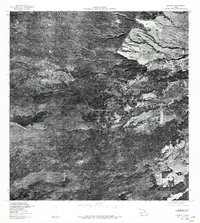 1977 Piihonua1981 Print · USGSThe Hilo highlands are captured in the late seventies, showing the push of development into the Hawaiian forest. Researchers can trace the early street patterns of Piihonua and Kaumana or follow the course of Waiau Stream.
 - 1980 Map of Hawaii County Sheet 2, 1985 Print
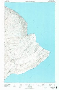 1980 Hawaii County Sheet 21985 Print · USGSThe eastern coast of the Big Island is captured here in the early eighties, showcasing the intersection of active volcanic landforms and historic plantation towns. Researchers can trace family roots through settlements like Laupahoehoe and Papaikou, or explore the road networks around Kilauea Crater and General Lyman Field.
 - 1981 Map of Piihonua
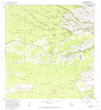 1981 Piihonua1981 Print · USGSThe Hilo district in the early eighties shows the intersection of volcanic history and early island settlement. Researchers can trace the Lava Flow of 1881 past the Kaumana Cem or locate old waterworks like the Olaa Flume Spring.2 unique versions available
 - 1997 Map of Piihonua, 1999 Print
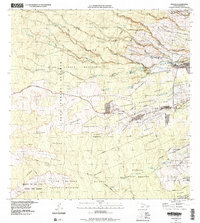 1997 Piihonua1999 Print · USGSThe foothills west of Hilo are captured here in the late twentieth century, showing a landscape defined by massive historical lava flows. You can trace the boundaries of the Kaumana Homesteads or locate local landmarks like the Kaumana Cemetery and Boiling Pots.2 unique versions available
 - 2013 Map of Piihonua, 2013 Print
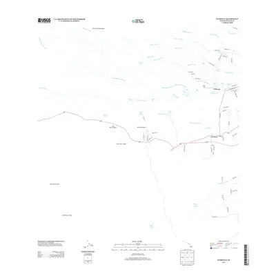 2013 Piihonua2013 Print · USGSThe upland interior of Hilo comes alive in this survey of volcanic history and river networks. Genealogists and researchers can locate old residential nodes like Pi'ihonua and Kaumana, or trace the path of the Lava Flow of 1881 near Boiling Pots.
 - 2017 Map of Piihonua, 2017 Print
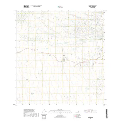 2017 Piihonua2017 Print · USGSThe upland slopes of the Big Island are defined here by successive volcanic events and a complex network of waterfalls. Trace the proximity of the Kaumana Cem to the Lava Flow of 1881 or explore the river features at Boiling Pots.
 - 2024 Map of Piihonua, 2024 Print
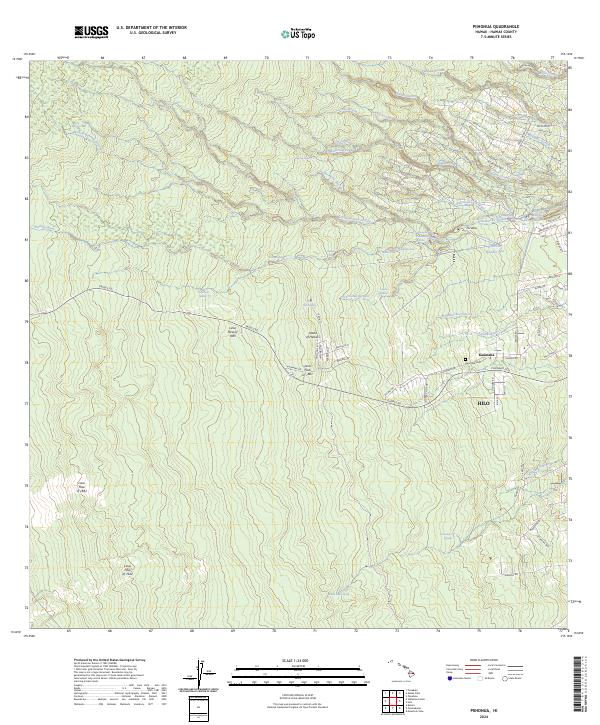 2024 Piihonua2024 Print · USGSThe volcanic slopes above Hilo are defined here by a series of massive historic eruptions and river-cut canyons. You can trace the path of the Lava Flow of 1881 near Kaūmana and locate landmarks like Boiling Pots on the Wailuku River.
End of results
Showing maps 1-14 of 14
Frequently asked questions
- What are the different types of historical maps available for Piʻihonua?
- What is the oldest map of Piʻihonua?
- Where can I purchase historical maps of Piʻihonua for my home or office?
- Where can I download high-res historical maps of Piʻihonua?
- Are there historical topographic maps available for Piʻihonua?
- Is there historical aerial imagery available for Piʻihonua?
- Where are historical maps of Piʻihonua sourced from?