2000s (21st Century) Maps of Waimea/Kamuela, Hawaii
Explore 12 historic maps of Waimea/Kamuela from the 2000s (21st Century). These maps offer a rare glimpse into what life looked like during the 2000s — showing old roads, neighborhoods, homes, and landmarks that have changed or disappeared over time.
Whether you're researching your family's past, planning a metal detecting trip, or studying how Waimea/Kamuela's landscape evolved across the 2000s, these high-resolution maps are a powerful tool for exploring the history of this region.
- Focus on a specific era: All maps on this page are from the 2000s, giving you a focused view of this time period.
- See what’s changed: Compare century-old streets, trails, and buildings to today's modern landscape using overlays and satellite layers.
- Research with precision: Use these maps for genealogy, historical research, land use analysis, or educational projects.
- View, download, or print: Maps are fully viewable online in high resolution, and can be downloaded or printed for your own records.
Start exploring Waimea/Kamuela's history through authentic maps from the 2000s. This is your window into the past.
Waimea/Kamuela, HI maps
(12)- 2013 Map of Makahalau, 2013 Print
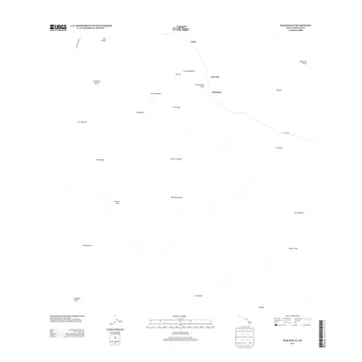 2013 Makahalau2013 Print · USGSThe high slopes of the Big Island are captured here during the early twenty-first century, showing the remote ranching lands between the great peaks. Researchers can trace historic access via Mana Rd and locate landmarks like Makahalau, Puu Kikoni, and Kemole Gulch.
 - 2013 Map of Kukuihaele, 2013 Print
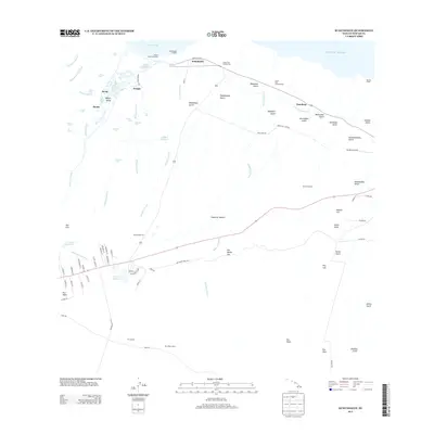 2013 Kukuihaele2013 Print · USGSThe Hamakua coast of Hawai‘i shows its deep agricultural roots in the early twenty-first century. Researchers can trace the path of the Lower Hamakua Ditch, locate the coastal Lalakea Fishpond, and find old settlement sites like Kapulena and Kukuihaele.
 - 2013 Map of Nohonaohae, 2013 Print
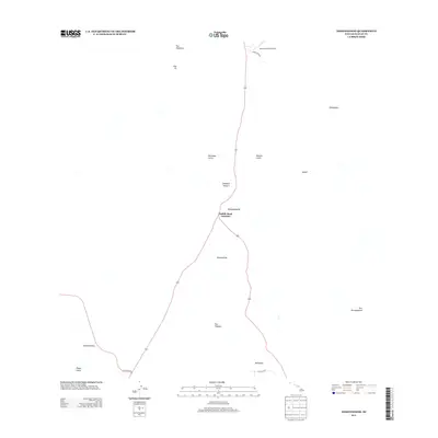 2013 Nohonaohae2013 Print · USGSThe high interior of Hawai‘i Island is documented here in the early twenty-first century, centered on the strategic Saddle Road Junction. Researchers can trace the volcanic landscape through named cinder cones like Nohonaohae and the nearby Waimea-Kohala Airport.
 - 2013 Map of Kamuela, 2013 Print
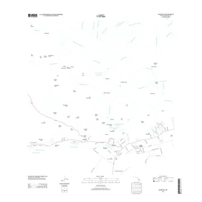 2013 Kamuela2013 Print · USGSThe upland ranching tradition of Hawaiʻi Island is captured here in the early twenty-first century, centered on the community of Waimea. Genealogists and researchers can trace local landmarks like Parker Ranch, Kuhio Village, and the Waimea-Kohala Airport.
 - 2017 Map of Kamuela, 2017 Print
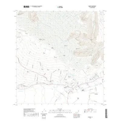 2017 Kamuela2017 Print · USGSThe high plateaus and deep valleys of the Big Island are captured here during a period of modern growth and infrastructure. Researchers can trace the layout of Waimea and locate local landmarks like the Imiola Church Cem and Waimea-Kohala Airport.
 - 2017 Map of Makahalau, 2017 Print
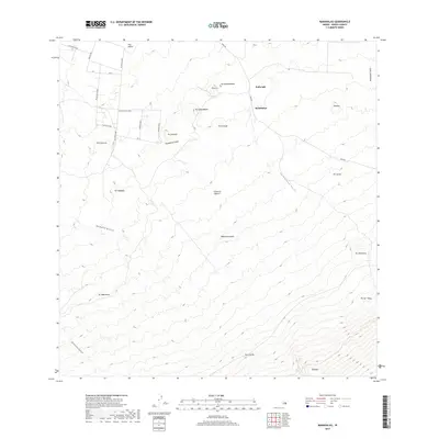 2017 Makahalau2017 Print · USGSHigh-elevation volcanic terrain on the Island of Hawai'i is captured here in the early twenty-first century. Researchers can trace the network of mountain routes like Mana Rd and locate prominent cinder cones including Puu Kikoni and Pu'uhuluhulu.
 - 2017 Map of Nohonaohae, 2017 Print
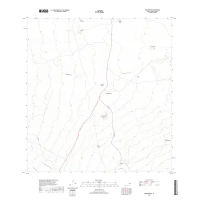 2017 Nohonaohae2017 Print · USGSThe high ranchlands of the Big Island are documented here in the late twenty-teens, showing the intersection of volcanic terrain and modern transit. Trace the landscape from Waimea-Kohala Airport past traditional landmarks like Nohonaohae and Puu Pa.
 - 2017 Map of Kukuihaele, 2017 Print
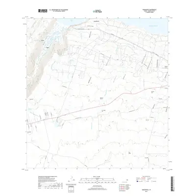 2017 Kukuihaele2017 Print · USGSThe Hamakua Coast of Hawaii Island is shown here in the late 2010s, centered on the dramatic transition from the sea to high mountain peaks. You can trace the historic water systems of the Upper Hamakua Ditch and locate landmarks like the Honokaa Airstrip and Lalakea Fishpond.
 - 2024 Map of Kukuihaele, 2024 Print
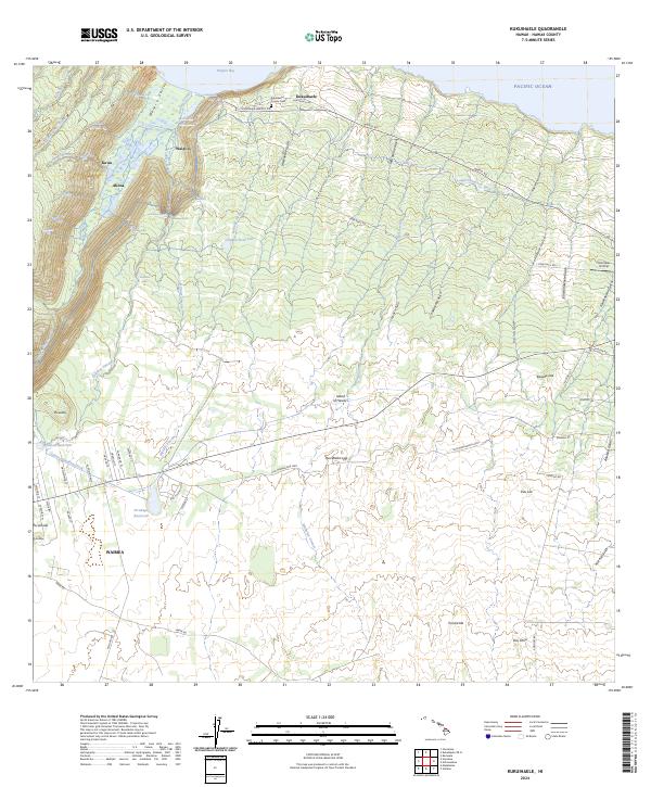 2024 Kukuihaele2024 Print · USGSCoastal Hamakua and the Waimea highlands are captured in this recent survey. Researchers can trace ancestral sites near Kukuihaele, examine the Lālākea Fishpond in Waipi‘o, and locate family markers in the Kukuihaele County Cem.
 - 2024 Map of Nohonaohae, 2024 Print
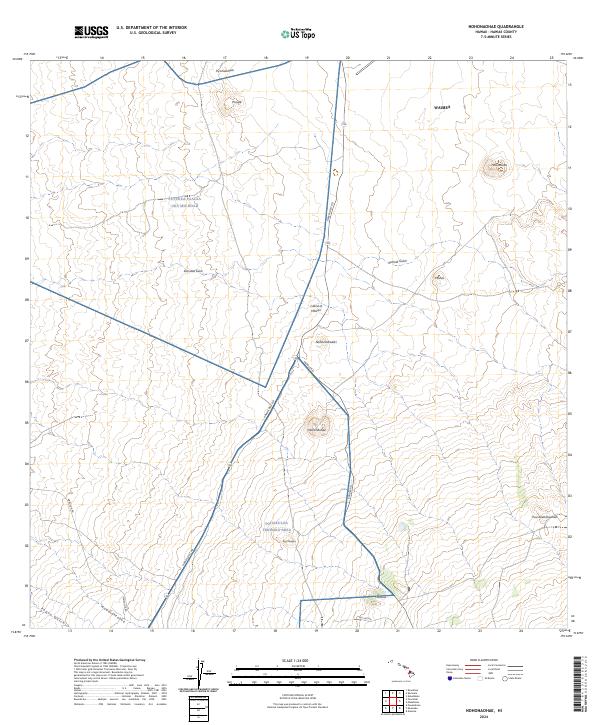 2024 Nohonaohae2024 Print · USGSHigh-altitude interior lands on the Island of Hawai‘i are documented here in their modern context of military training and regional transit. Researchers can trace the infrastructure of the Pohakuloa Training Area alongside landmarks like Holoholokū and Nohonaohae.
 - 2024 Map of Makahalau, 2024 Print
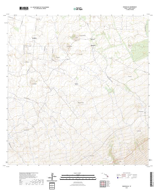 2024 Makahalau2024 Print · USGSThe high slopes of Hawaii’s interior are mapped here in the contemporary era, showing the intersection of cattle ranching land and volcanic geography. Researchers can trace land divisions and mountain access via Mana Rd, Makahalau, and the Mauna Kea Access Road Trl.
 - 2024 Map of Kamuela, 2024 Print
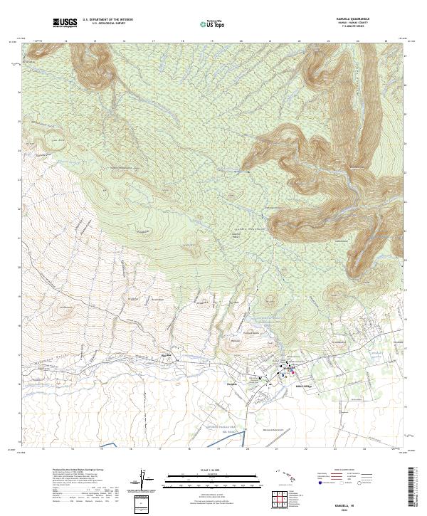 2024 Kamuela2024 Print · USGSThe high plateaus and deep gulches of the Kohala region are revealed in this modern survey of the Big Island. Researchers can trace local heritage through landmarks like Imiola Church, the Japanese Cem, and the historic settlement at Wai'aka.
End of results
Showing maps 1-12 of 12
Top neighborhoods of Waimea/Kamuela
- Waimea historical maps
- Waiaka historical maps
- Kawailiula historical maps
- Pu'u Opelu historical maps
- Kuhio Village historical maps
Frequently asked questions
- What are the different types of historical maps available for Waimea/Kamuela?
- What is the oldest map of Waimea/Kamuela?
- Where can I purchase historical maps of Waimea/Kamuela for my home or office?
- Where can I download high-res historical maps of Waimea/Kamuela?
- Are there historical topographic maps available for Waimea/Kamuela?
- Is there historical aerial imagery available for Waimea/Kamuela?
- Where are historical maps of Waimea/Kamuela sourced from?