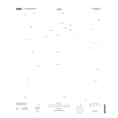
2013 Map of Makahalau
USGS Topo · Published 2013About this map
Makahalau and the surrounding high-altitude ranching country of the Island of Hawaiʻi are defined by a network of ephemeral watercourses and volcanic landmarks. The landscape is carved by deep drainages such as Kuupahaa Gulch, Puʻuhuluhulu Gulch, and Kemole Gulch, which channel seasonal runoff from the higher slopes. Transport through this area relies on historic thoroughfares like Mana Rd and Hawaiian Hm Rd, connecting the scattered settlements of Mānā and Kemole.
Find a feature on this map
27 named features on this map. Tap any name to fly to it.
Don’t see what you’re looking for? This feature index may not catch every label — zoom into the map to look around manually.
Map Details
Editions of this 2013 Makahalau Map
This is the sole edition of this map. No revisions or reprints were ever made.
Other maps of this area

1915 · Hamakua
USGS Topo · 1:62,500

1916 · Waipio
USGS Topo · 1:62,500

1954 · Hawaii North
USGS Topo · 1:250,000

1956 · Kamuela
USGS Topo · 1:24,000

1956 · Keamuku
USGS Topo · 1:24,000

1956 · Nohonaohae
USGS Topo · 1:24,000

1956 · Makahalau
USGS Topo · 1:24,000
1956 · Ahumoa
USGS Topo · 1:24,000

1956 · Mauna Kea
USGS Topo · 1:24,000

1956 · Umikoa
USGS Topo · 1:24,000