Old Maps of Kamo‘oloa, Hawaii for Metal Detecting
Plan your next treasure hunt with 12 historic maps of Kamo‘oloa. Find old homesites, ghost towns, trails, and gathering spots that may be lost to time — perfect for identifying promising metal detecting locations.
- Locate forgotten sites: Uncover places like long-lost settlements, abandoned rail lines, or gathering spots.
- Plan better hunts: Use map overlays combined with LiDAR or satellite views to narrow in on historically rich areas.
- Made for detectorists: Thousands of hobbyists use these maps to discover relics, coins, and hidden history.
Use these historic maps to boost your research and find new opportunities beneath the surface of Kamo‘oloa.
Kamo‘oloa, HI maps
(12)- 1953 Map of Haleiwa, 1954 Print
 1953 Haleiwa1954 Print · USGSOahu's North Shore thrived as a plantation powerhouse in the early fifties, where sugar production and military presence shaped the land. Genealogists can trace family footprints through Kemoo Camp, Poamoho Camp, and the Kawailoa Soto Mission and School.
 - 1954 Map of Oahu
 1954 Oahu1954 Print · USGSMid-century Oahu is caught between its plantation roots and its growing role as a Pacific military hub. Trace the OR and L Co rail lines and explore the 1950s footprints of Pearl Harbor, Libbyville, and Waipahu.
 - 1960 Map of Haleiwa, 1961 Print
 1960 Haleiwa1961 Print · USGSOahu's North Shore and the Wahiawa Plateau are documented here during the height of the mid-century plantation era. Genealogists and historians can trace laborers' quarters at Poamoho Camp, the industrial Sugar Mill in Waialua, and the layout of Schofield Barracks.2 unique versions available
 - 1961 Map of Oahu
 1961 Oahu1961 Print · USGSOahu's strategic landscape is captured here during the early statehood era, showing the balance between burgeoning urban centers and massive military installations. Trace the path of the Oahu Railway and Land Co or locate historical sites like Schofield Barracks and Punchbowl Hill.
 - 1965 Map of Oahu
 1965 Oahu1965 Print · USGSOahu in the mid-sixties reveals a landscape defined by significant military installations and growing coastal communities. Researchers can trace the infrastructure of Pearl Harbor, Schofield Barracks, and landmarks like Diamond Head.2 unique versions available
 - 1970 Map of Oahu, 1973 Print
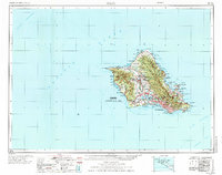 1970 Oahu1973 Print · USGSOahu was entering a new era of suburban and military expansion in the early seventies. Trace the growth of Mililani Town and Pearl City, or locate historic sites like Schofield Barracks and Diamond Head State Monument.2 unique versions available
 - 1977 Map of Haleiwa, 1984 Print
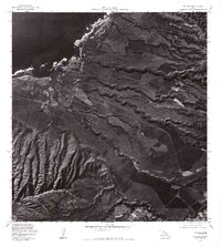 1977 Haleiwa1984 Print · USGSThe North Shore of Oahu comes into focus during the late seventies, showing the coastal community of Haleiwa and its surrounding agricultural fields. Researchers can trace land use patterns near Puaena Point and the military grounds of Schofield Barracks.
 - 1983 Map of Haleiwa
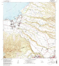 1983 Haleiwa1983 Print · USGSOahu's North Shore is captured here in the early 1980s, documenting the vital irrigation networks and plantation camps of the coastal plains. Researchers can trace the layout of Haleiwa, locate the Sugar Mill in Waialua, or explore military history at Schofield Barracks Military Reservation.
 - 1999 Map of Haleiwa, 2000 Print
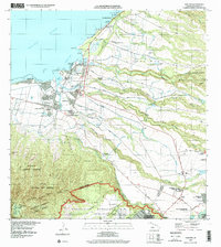 1999 Haleiwa2000 Print · USGSThe North Shore of O‘ahu shows its plantation and military character at the end of the millennium. Researchers can locate legacy sites like the Sugar Mill and Kūkaniloko Birthstones State Monument or trace workers' housing at Kemo‘o Camp 4.
 - 2013 Map of Haleiwa, 2013 Print
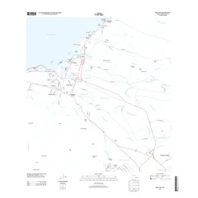 2013 Haleiwa2013 Print · USGSThe North Shore of O'ahu is captured here in a 2013 snapshot of its evolving agricultural and coastal landscape. Local historians can trace the legacy of plantation life through the locations of Ranch Camp, Kemo‘o Camp, and the extensive Ito Ditch irrigation system.
 - 2017 Map of Haleiwa, 2017 Print
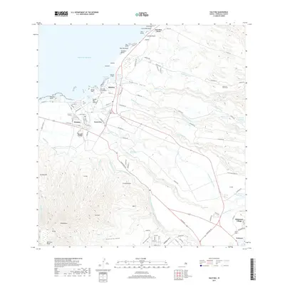 2017 Haleiwa2017 Print · USGSO'ahu's North Shore and the agricultural uplands are captured in this 2017 survey, showing the transition from surf-line beaches to plantation-era irrigation. Researchers can trace water systems like the Kamananui Ditch or locate Ranch Camp, Pu'uiki Cem, and Whitmore Village.
 - 2024 Map of Haleiwa, 2024 Print
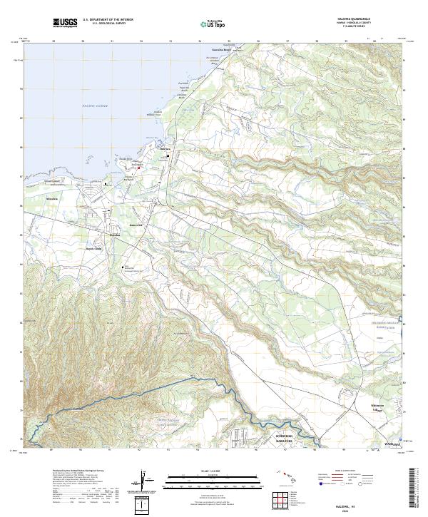 2024 Haleiwa2024 Print · USGSThe north shore of O’ahu at the start of the 2020s shows a complex blend of coastal life and military infrastructure. Researchers can trace historic local sites such as the Liliʙokalani Church Cem or the industrial legacy of the Wilson Ditch and Ranch Camp.
End of results
Showing maps 1-12 of 12
Frequently asked questions
- What are the different types of historical maps available for Kamo‘oloa?
- What is the oldest map of Kamo‘oloa?
- Where can I purchase historical maps of Kamo‘oloa for my home or office?
- Where can I download high-res historical maps of Kamo‘oloa?
- Are there historical topographic maps available for Kamo‘oloa?
- Is there historical aerial imagery available for Kamo‘oloa?
- Where are historical maps of Kamo‘oloa sourced from?