2020s Maps of Punaluu, Hawaii
Explore 2 historic maps of Punaluu from the 2020s. These maps offer a rare glimpse into what life looked like during the 2020s — showing old roads, neighborhoods, homes, and landmarks that have changed or disappeared over time.
Whether you're researching your family's past, planning a metal detecting trip, or studying how Punaluu's landscape evolved across the 2020s, these high-resolution maps are a powerful tool for exploring the history of this region.
- Focus on a specific era: All maps on this page are from the 2020s, giving you a focused view of this time period.
- See what’s changed: Compare century-old streets, trails, and buildings to today's modern landscape using overlays and satellite layers.
- Research with precision: Use these maps for genealogy, historical research, land use analysis, or educational projects.
- View, download, or print: Maps are fully viewable online in high resolution, and can be downloaded or printed for your own records.
Start exploring Punaluu's history through authentic maps from the 2020s. This is your window into the past.
Punaluu, HI maps
(2)- 2024 Map of Kahana, 2024 Print
 2024 Kahana2024 Print · USGSWindward Oahu's coastal landscape and steep ridges are documented here in the early twenty-first century. Genealogists and historians can trace traditional sites like Mōli'i Pond and 'Āpua Fishpond alongside the remnants of the Kualoa Sugar Mill Beach.
 - 2024 Map of Hauula, 2024 Print
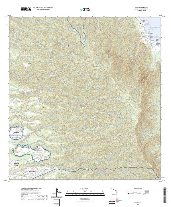 2024 Hauula2024 Print · USGSNortheastern O'ahu and the central plateau are shown in detail during the mid-2020s, from the windward coast to the Wahiawa plains. Researchers can trace land use from the Hauula Community Cem to the Opae'ula Ditch and Helemano Military Reservation.
End of results
Showing maps 1-2 of 2
Top cities near Punaluu
- Honolulu historical maps
- Waipahu historical maps
- Mililani historical maps
- Pearl City historical maps
- Kailua historical maps
- Kaneohe historical maps
See more
Frequently asked questions
- What are the different types of historical maps available for Punaluu?
- What is the oldest map of Punaluu?
- Where can I purchase historical maps of Punaluu for my home or office?
- Where can I download high-res historical maps of Punaluu?
- Are there historical topographic maps available for Punaluu?
- Is there historical aerial imagery available for Punaluu?
- Where are historical maps of Punaluu sourced from?