Old Maps of Waimea, Hawaii for Academic Research
Study the evolution of Waimea with 8 high-resolution historic maps. Whether you're teaching, researching, or modeling changes in land use, these maps provide essential visual documentation of urban, environmental, and geographic change.
- Analyze long-term change: Track patterns in development, transportation, and natural features.
- Ideal for environmental or urban studies: Support academic projects with primary historical map data.
- Use in the classroom or lab: Educators and researchers rely on these maps to bring historical context to life.
These maps are a powerful tool for teaching, research, and visualizing how Waimea has changed over the decades.
Waimea, HI maps
(8)- 1954 Map of Kauai
 1954 Kauai1954 Print · USGSKauai and Niihau are shown during a period of transition in the early fifties as plantation-era infrastructure began to change. Researchers can trace the Kilauea Sugar Plantation Railroad, the Anahola Settlement, and remote sites on Niihau like Puuwai.
 - 1963 Map of Kekaha, 1965 Print
 1963 Kekaha1965 Print · USGSThe southwestern Kauai coastline in the early sixties was a unique blend of sugar plantation infrastructure and strategic military outposts. Genealogists and historians can trace local life through Kekaha and Mana, alongside technical landmarks like the Kekaha Ditch and Kaunalewa Shaft.2 unique versions available
 - 1967 Map of Kauai
 1967 Kauai1967 Print · USGSThe Garden Isle and Niihau are shown here in the mid-sixties, capturing the island's transition from plantation roots to a more modern infrastructure. Genealogists can trace family connections in Moloaa Settlement or find coastal landmarks like Nonopapa and Kilauea Point Light.
 - 1970 Map of Kauai, 1974 Print
 1970 Kauai1974 Print · USGSThe islands of Kauai and Niihau are shown during the early 1970s, capturing the balance between military expansion and preserved wilderness. Researchers can trace the layout of Niihau's elusive villages like Puwai or explore Kauai's industrial landscape at Koloa Mill and Port Allen.2 unique versions available
 - 1983 Map of Kekaha, 1984 Print
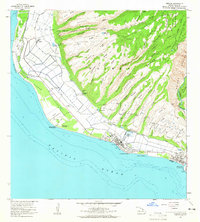
 1983 Kekaha1984 Print · USGSThe western coast of Kauai was a landscape of military activity and irrigation engineering in the early eighties. Genealogists and researchers can trace the neighborhoods of Kekaha and Waimea, locating landmarks like St Theresa Sch and Kikiaola Harbor.
 - 2013 Map of Kekaha OE S, 2013 Print
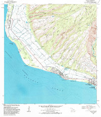
 2013 Kekaha OE S2013 Print · USGSCovers Waimea, including Kekaha, Kauai County, and other nearby areas
 - 2017 Map of Kekaha OE S, 2017 Print
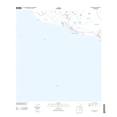
 2017 Kekaha OE S2017 Print · USGSCovers Waimea, including Kekaha, Kauai County, and other nearby areas
 - 2024 Map of Kekaha OE S, 2024 Print
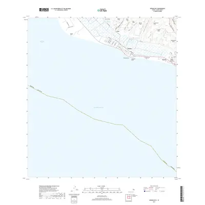
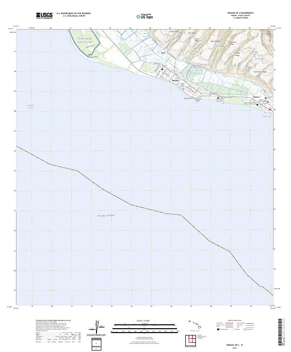 2024 Kekaha OE S2024 Print · USGSThe southwestern coast of Kauai is documented here at the intersection of military operations and historic settlement. Trace the cultural landscape through several distinct burial sites including the Waimea Japanese Cem and Kekaha Public Cem.
End of results
Showing maps 1-8 of 8
Frequently asked questions
- What are the different types of historical maps available for Waimea?
- What is the oldest map of Waimea?
- Where can I purchase historical maps of Waimea for my home or office?
- Where can I download high-res historical maps of Waimea?
- Are there historical topographic maps available for Waimea?
- Is there historical aerial imagery available for Waimea?
- Where are historical maps of Waimea sourced from?