
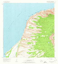
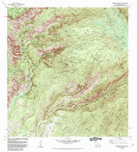
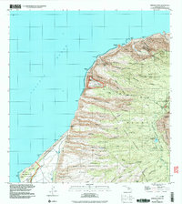
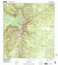
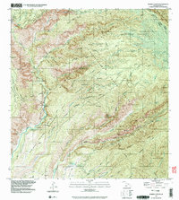
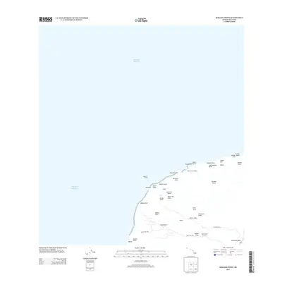
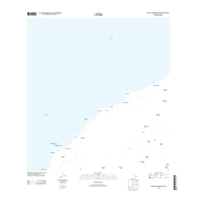
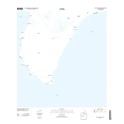
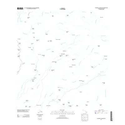
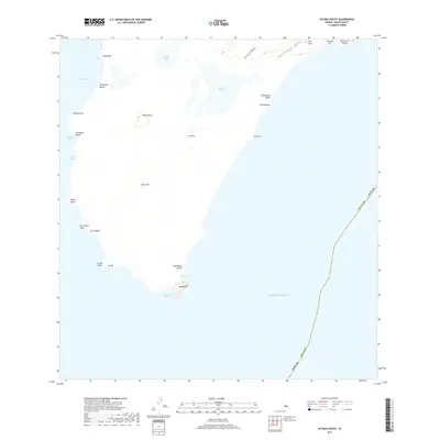
1954 Map of Kauai
USGS Topo · Published 1954About this map
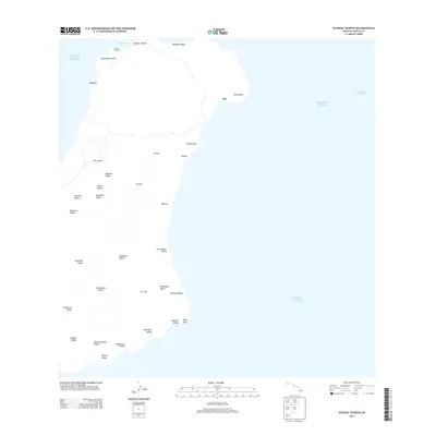
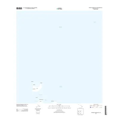
Kauai Island and its neighbors are detailed in this mid-century survey, compiled from early-1940s quadrangles and intelligence data through 1951. The map documents the primary settlements of Lihue, Hanalei, and Waimea, while also capturing the more remote Niihau Island with its settlement at Puuwai and the waters of Halulu Lake. A significant indicator of the era's changing economy is the Kilauea Sugar Plantation Railroad, noted here as dismantled, reflecting the decline of narrow-gauge rail transport in the sugar industry.
Find a feature on this map
117 named features on this map. Tap any name to fly to it.
Don’t see what you’re looking for? This feature index may not catch every label — zoom into the map to look around manually.
Map Details
Editions of this 1954 Kauai Map
This is the sole edition of this map. No revisions or reprints were ever made.
Historical Maps of Lihue Through Time
51 maps found
1954 Kauai
Kauai County, HI
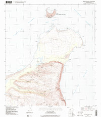
1965 Makaha Point
Kauai County, HI

1965 Waialeale
Kauai County, HI
1965 Waimea Canyon
Kauai County, HI

1967 Kauai
Kauai County, HI

1970 Kauai
Kauai County, HI
1983 Makaha Point
Kauai County, HI
1983 Waialeale
Kauai County, HI
1983 Waimea Canyon
Kauai County, HI
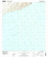
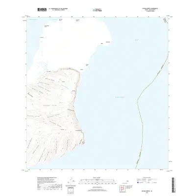
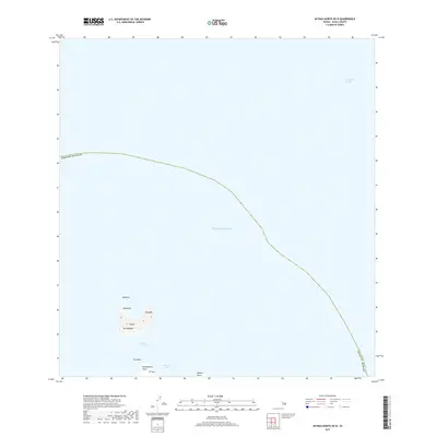
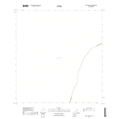
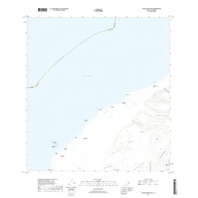
1984 Niihau North
Kauai County, HI
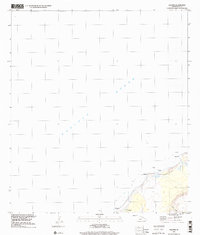
1984 Niihau South
Kauai County, HI
1989 Halalii Lake
Kauai County, HI
1989 Honuaula Valley
Kauai County, HI
1989 Kalanei
Kauai County, HI
1989 Keanauhi Valley
Kauai County, HI
1991 Makaha Point
Kauai County, HI
1991 Waialeale
Kauai County, HI
1991 Waimea Canyon
Kauai County, HI
2013 Kaula
Kauai County, HI
2013 Kekaha OE S
Kauai County, HI
2013 Makaha Point
Kauai County, HI
2013 Niihau North
Kauai County, HI
2013 Niihau North OE N
Kauai County, HI
2013 Niihau North OE NW
Kauai County, HI
2013 Niihau North OE W
Kauai County, HI
2013 Niihau South
Kauai County, HI
2013 Niihau South OE W
Kauai County, HI
2013 Waialeale
Kauai County, HI
2013 Waimea Canyon
Kauai County, HI
2017 Kaula
Kauai County, HI
2017 Kekaha OE S
Kauai County, HI
2017 Makaha Point
Kauai County, HI
2017 Niihau North
Kauai County, HI
2017 Niihau North OE N
Kauai County, HI
2017 Niihau North OE NW
Kauai County, HI
2017 Niihau North OE W
Kauai County, HI
2017 Niihau South
Kauai County, HI
2017 Niihau South OE W
Kauai County, HI
2017 Waialeale
Kauai County, HI
2017 Waimea Canyon
Kauai County, HI
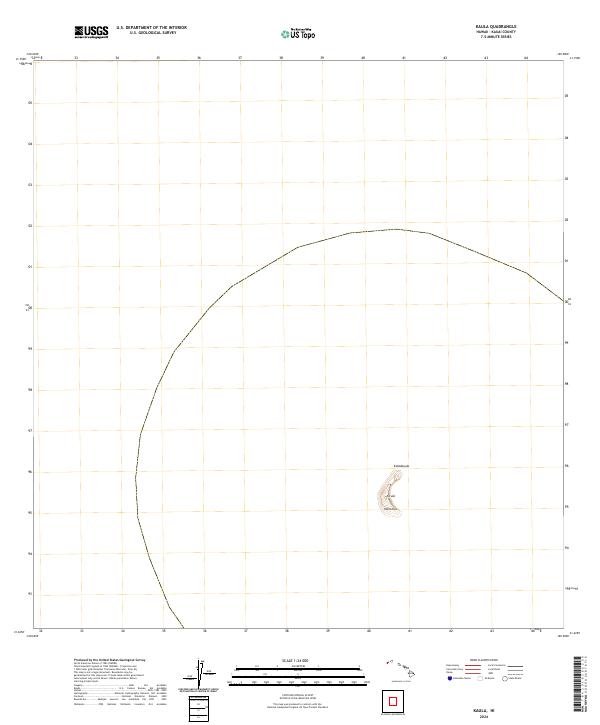
2024 Kaula
Kauai County, HI
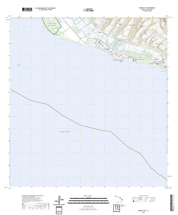
2024 Kekaha OE S
Kauai County, HI
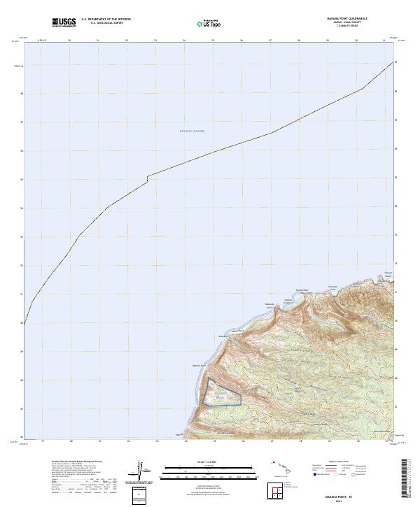
2024 Makaha Point
Kauai County, HI
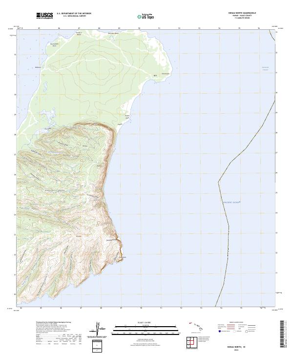
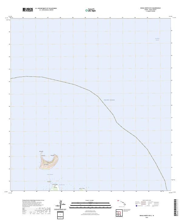
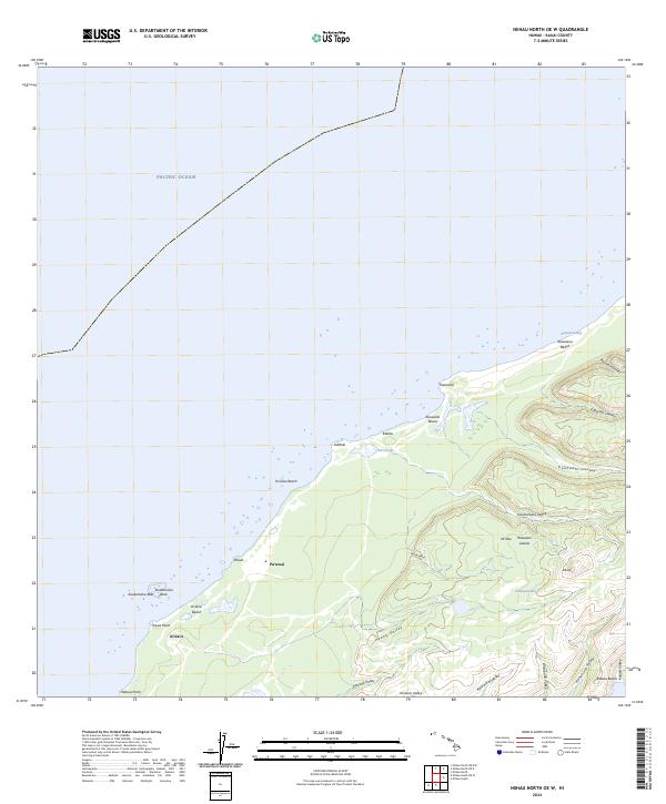
2024 Niihau North
Kauai County, HI
2024 Niihau North OE N
Kauai County, HI
2024 Niihau North OE NW
Kauai County, HI
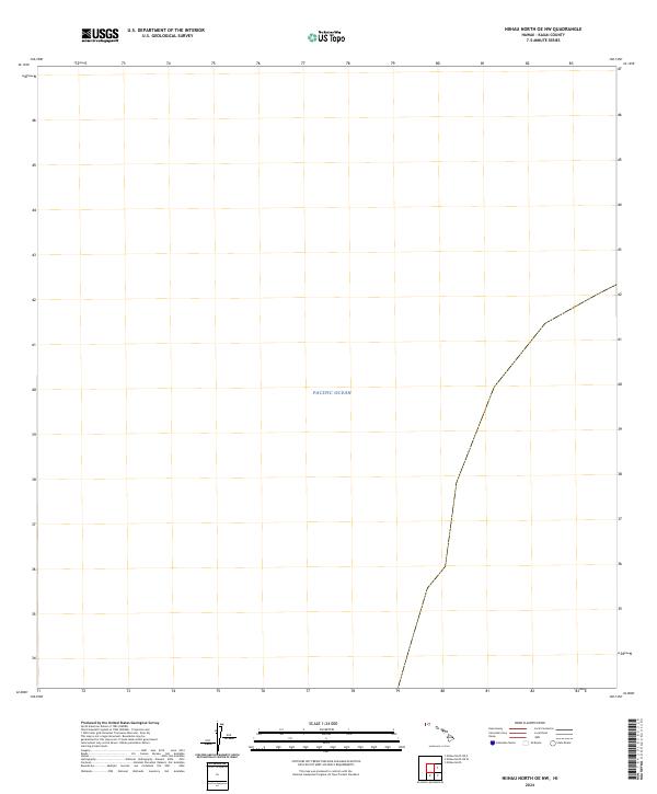
2024 Niihau North OE W
Kauai County, HI
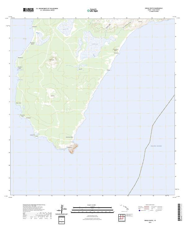
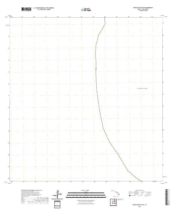
2024 Niihau South
Kauai County, HI
2024 Niihau South OE W
Kauai County, HI
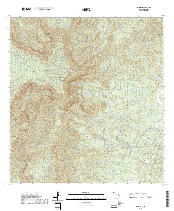
2024 Waialeale
Kauai County, HI
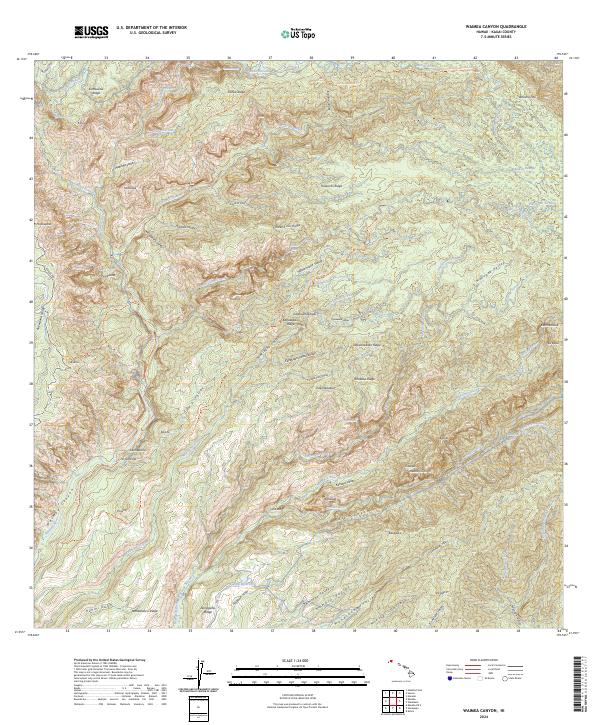
2024 Waimea Canyon
Kauai County, HI