
1963 Map of Anahola
USGS Topo · Published 1964About this map
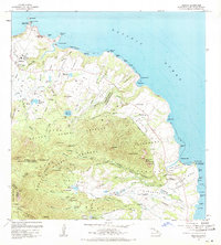
Kilauea and Anahola anchor this northeastern Kauai landscape during a period of active land management and agricultural utility. The map reveals an intricate network of irrigation and infrastructure, featuring the Koolau Flume and numerous water bodies such as Morita Reservoir and the Kanehu Reservoirs that sustained the local plantation economy. Cultural and civic life is centered around the Kilauea Sch and Anahola Sch, while the coastal margins are defined by prominent landmarks like Crater Hill and the Coast Guard Reservation at Kilauea Point. The interior is dominated by the protected lands of the Moloaa Forest Reserve and Anahola Forest Reserve, rising toward the peaks of the Makaleha Mts. Notable for genealogists is the Hawaiian Homes settlement near Anahola Bay, reflecting the community's mid-century residential layout.
Find a feature on this map
75 named features on this map. Tap any name to fly to it.
Don’t see what you’re looking for? This feature index may not catch every label — zoom into the map to look around manually.
Map Details
Editions of this 1963 Anahola Map
2 editions found
Other maps of this area

1954 · Kauai
USGS Topo · 1:250,000

1963 · Kapaa
USGS Topo · 1:24,000

1963 · Hanalei
USGS Topo · 1:24,000

1965 · Waialeale
USGS Topo · 1:24,000

1967 · Kauai
USGS Topo · 1:250,000

1970 · Kauai
USGS Topo · 1:250,000

1978 · Kapaa
USGS Topo · 1:24,000
1983 · Hanalei
USGS Topo · 1:24,000
1983 · Waialeale
USGS Topo · 1:24,000
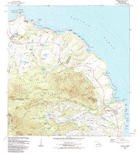
1983 · Anahola
USGS Topo · 1:24,000