Loading...
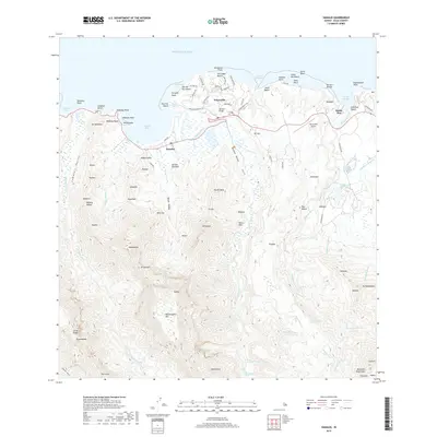
Loading map...1983 Map of Hanalei
USGS Topo · Published 1983About this map
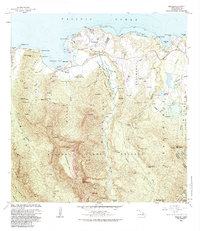
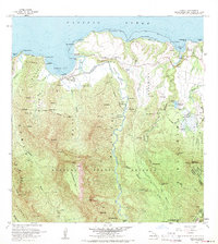
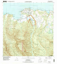
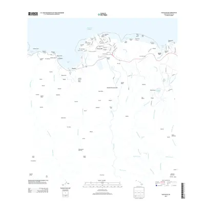
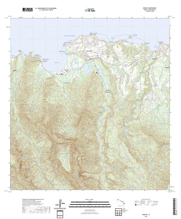
Hanalei Bay and the surrounding North Shore of Kauai are meticulously documented in this early 1980s topographical record. The transition from coastal settlements like Princeville and Hanalei to the steep, densely forested interiors of the Halelea Forest Reserve and Moloaa Forest Reserve is clearly defined. The Hanalei River carves through the landscape, supporting the National Wildlife Refuge and Hanalei Homesteads as it moves toward the coast.
Find a feature on this map
83 named features on this map. Tap any name to fly to it.
Don’t see what you’re looking for? This feature index may not catch every label — zoom into the map to look around manually.
Map Details
Date Portrayed1983
Date Published1983
PublisherU.S. Geological Survey
Map TypeTopographic
Scale1:24,000
Physical Dimensions24 x 27.8 inches
Editions of this 1983 Hanalei Map
This is the sole edition of this map. No revisions or reprints were ever made.
Historical Maps of Princeville Through Time
6 maps found
Featured Locations
Source Details
SourceU.S. Geological Survey
CopyrightPublic Domain